Cantabria by Bike

Polaciones, Peña Sagra, Lamedo

Route 47

By: Javier Tovar, Pedro Ceballos, and Michael González Harbour


Map

Basic Data


Kilometers/Miles
36 / 22
Cumulative ascent: meters/feet
1755 / 5756
Maximum height: meters/feet
1822 / 5976
Duration
6 hours
Beginning and end location
La Laguna, Polaciones
Difficulty
High
Month
August 2007
Recommended period
Summer

You can find an alternative in route 47a.

Profile

Pictures


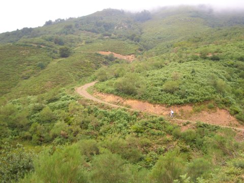
foto1
The ascent on the Southwest side of the massif of Peña Sagra
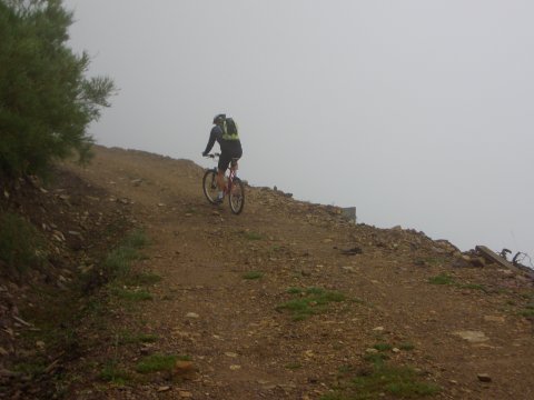
foto2
  The fog surrounds us after we pass an altitude of 1500 meters (5000 feet)
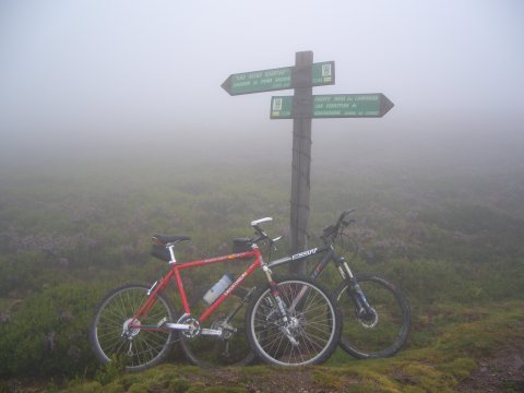
foto 3
Track junction in the ridge of Peña Sagra, near Fuente Mesa las Lámparas,
where we suppose magnificent views could be seen
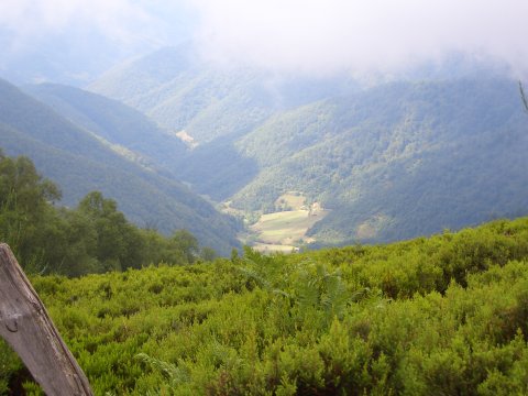
foto 4
During the descent the sun shines momentarily through the clouds
and lights the valley
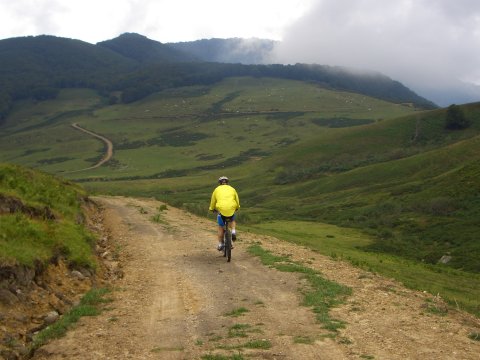
foto 5
  The path towards the pass of Portillo de Brañas,
which is at the right hand side in the picture
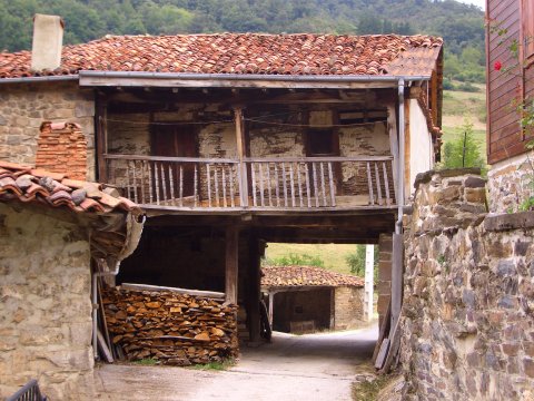
foto 6
  The village of Lamedo shows us its painteresque architecture
with many carved wood elements
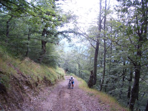
foto 7
During the return to the pass of Portillo de Brañas
  the strong ascent rate makes us walk in some sections
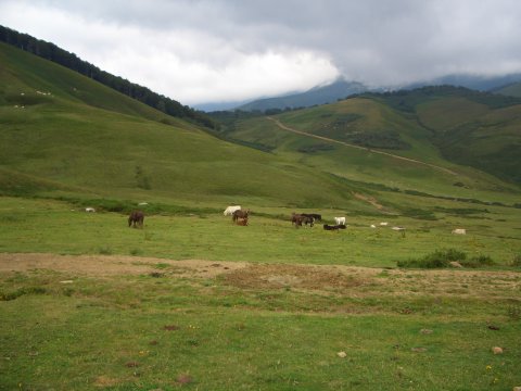
foto 8
Some horses in the pass of Portillo de Brañas

Downloads

To open the route in Google Earth click on the 'KMZ' link and select 'Open with Goole Earth' (requires prior installation of Google Earth). To download a route, right-click on the link and select 'save link as' or a similar option.

Instructions

See the instructions and disclaimer, as well as other routes, in the main page.