Cantabria by Bike

Ascent to Cueto Cucón from Polaciones

Route 47a

By: Javier Tovar, Pedro Ceballos, and Michael González Harbour

Map

Basic Data


Kilometers/Miles
29 / 18
Cumulative ascent: meters/feet
1326 / 4349
Maximum height: meters/feet
1952 / 6402
Duration
4 hours
Beginning and end location
La Laguna
Difficulty
High
Month
October 2007
Recommended period
Summer or start of Autum


This is an alternative version of route 47


Profile

Pictures


foto1
  The end of the ascent to the ridge of Peña Sagra
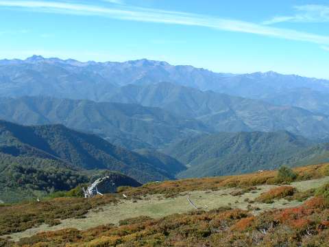
foto2
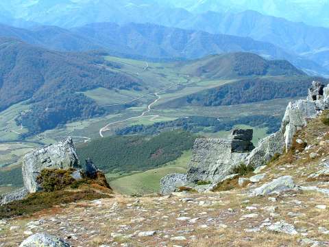
  The view of Liébana shows the depth of this valley
and the wide forests in its mountains
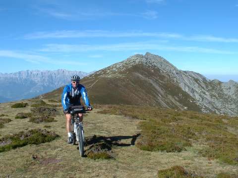
foto 3
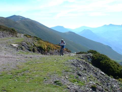
  Cycling on the ridge of Peña Sagra, with the peak of Cornón behind
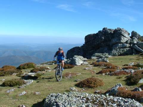
foto 4
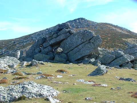
  The ridge has some very large rocks

foto5
The peak of Cueto Cucón

foto 6
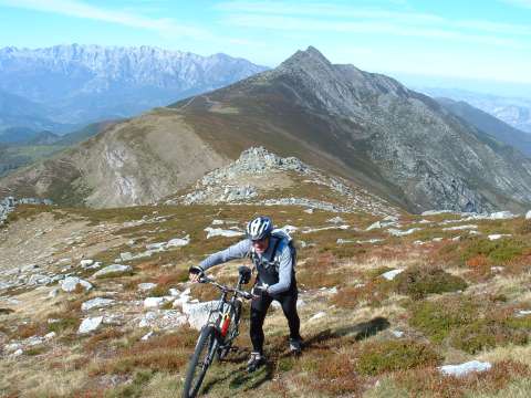
  In the last part of the ascent we need to push the bicycle
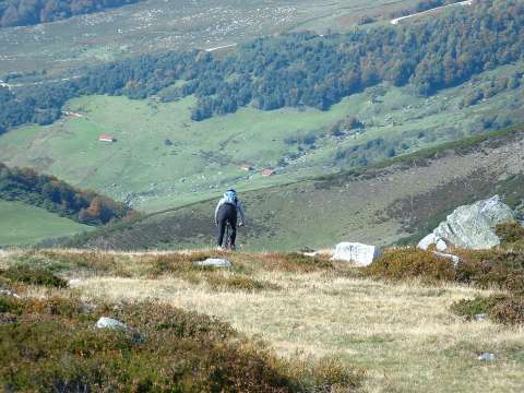
foto 7
The descent towards the valley
foto 8
  The pass of Brañas, as seen from Peña Sagra

Downloads

To open the route in Google Earth click on the 'KMZ' link and select 'Open with Goole Earth' (requires prior installation of Google Earth). To download a route, right-click on the link and select 'save link as' or a similar option.

Instructions

See the instructions and disclaimer, as well as other routes, in the main page.