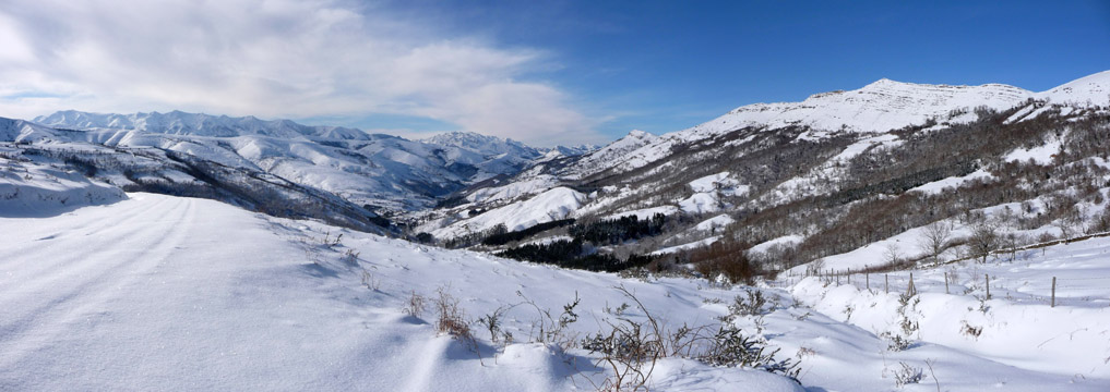
View of the Massif of Peña Sagra and Picos de Europa from the pass of Monte Aa

| Kilometers/Miles |
36 / 22 |
| Cumulative ascent: meters/feet |
995 / 3263 |
| Maximum height: meters/feet |
913 / 2994 |
| Total duration |
3 and a half hours |
| Time moving |
2:34 hours |
| Beginning and end location |
Ruente |
| Difficulty |
Medium |
| Month |
March 2006, December 2008, and
January 2010 |
| Recommended period |
All year round |
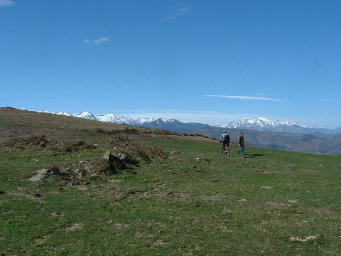 The pass of Monte Aa |
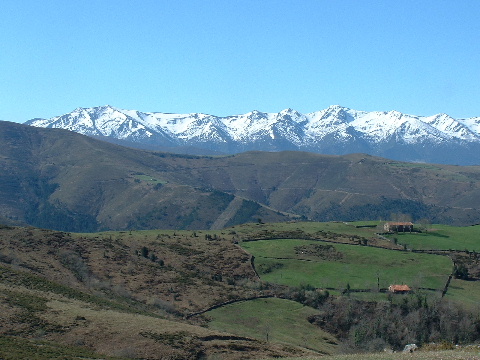 The massif of Peña Sagra |
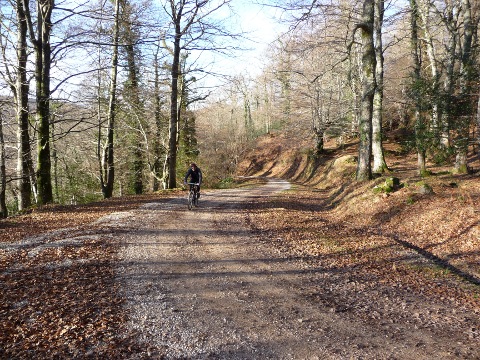 Ascent by the track of Monte Aa, with the oak treas already leafless |
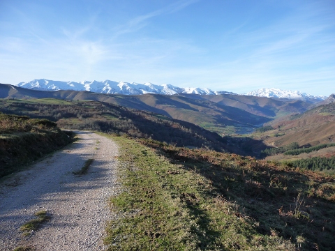 Tha massif of Peña Sagra and the village of Carmona, from the pass of Monte Aa |
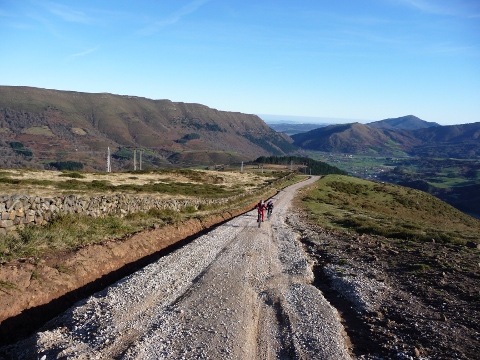 The hard ascent to the pass of Sopeña, with the ridge of El Escudo de Cabuérniga behind |
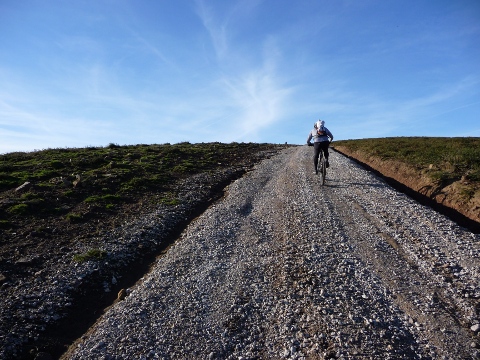 Another picture of the ascent to the pass of Sopeña |
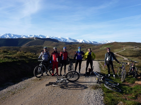 We meet some friends |
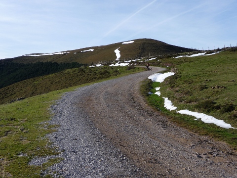 The ascent to mount Zarceillo with a little bit of snow |
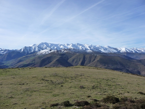 The massif of Peña Sagra from mount Zarceillo |
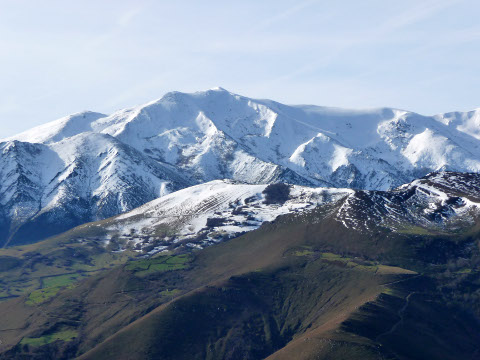 This is the peak of Cueto Cucón, which we climbed in route 47a |
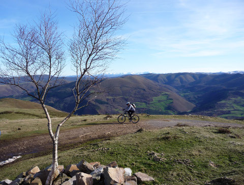 East view from mount Zarceillo |
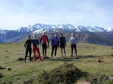 A picture with Peña Sagra behind |
Pictures of January 2010
An unusual snow fall at sea level covered Cabezón de la Sal and Monte Aa with an impressive snow layer. The good weather helped to make an unforgettable day.
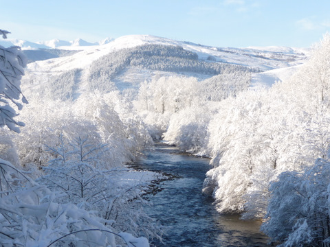 River Saja |
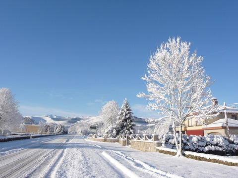 The road to Ruente |
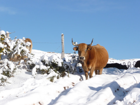 The cattle was quite nervous with all the snow |
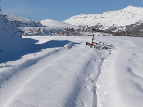 Its difficult to advance on the fresh snow. You can see the footprints made by pedaling |
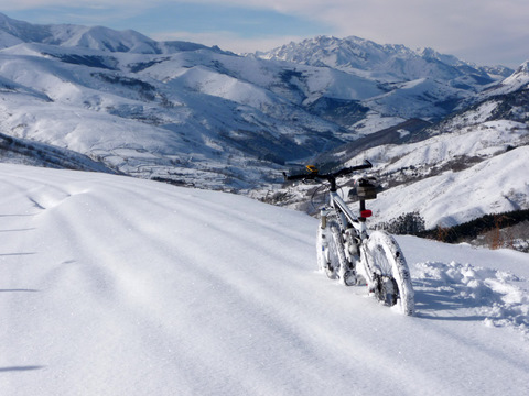 My bicycle in the pass of Monte Aa |
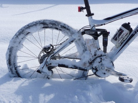 I had to break the ice on the transmission with a screwdriver |