Home Page
© 2006-2012: Javier Tovar, Pedro Ceballos, and Michael González Harbour
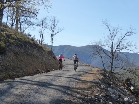
We have a nice clear day
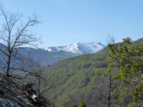
The range of El Cordel from the ascent to peak
Zarceillo
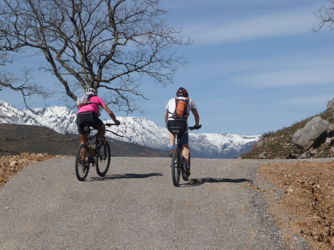
The Massif of Peña Sagra is covered in snow
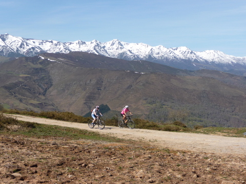
Arriving at peak Zarceillo
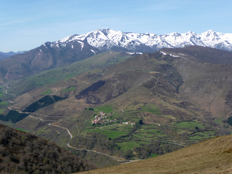
Sarceda, with Peña Sagra behind
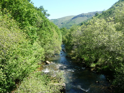
We cross river Nansa near Sarceda
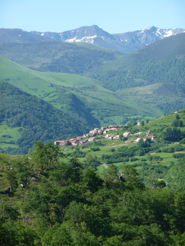
Another view of Sarceda
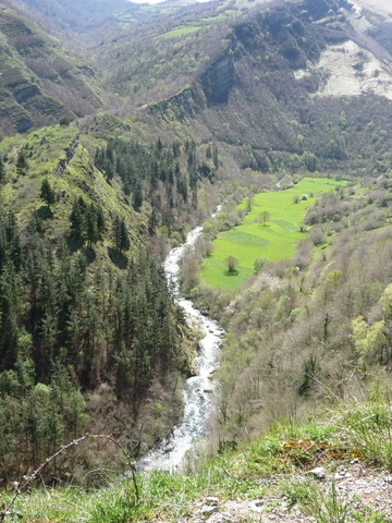
River Nansa
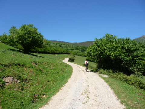
Climbing towards Prado Concejo Santotís
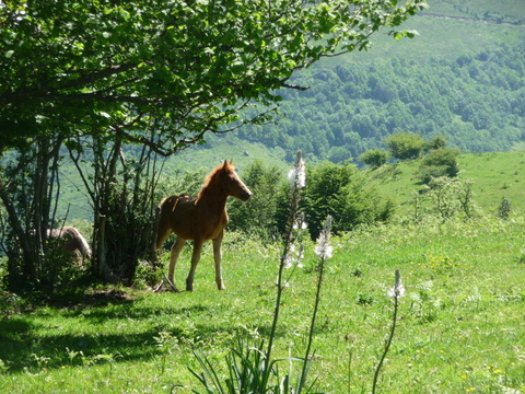
A foal takes refuge under a tree
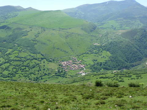
Tudanca
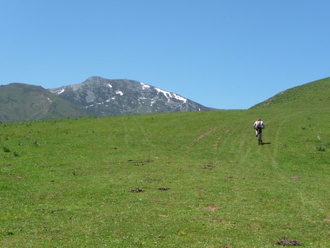
We end the climb following the tracks
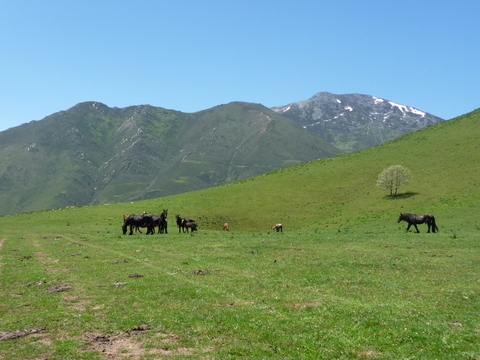
At the top there are extensive prairies
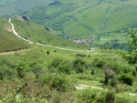
La Lastra
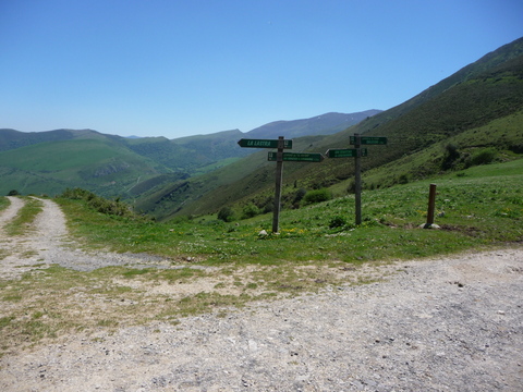
The pass of Abellán
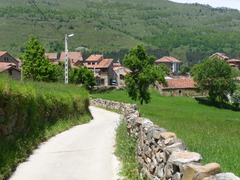
Arriving at San Sebastián de Garabandal