Home Page
© 2006-2012: Javier Tovar, Pedro Ceballos, and Michael González Harbour
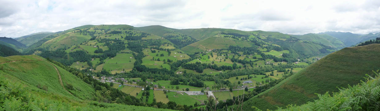
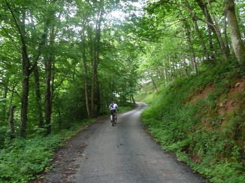
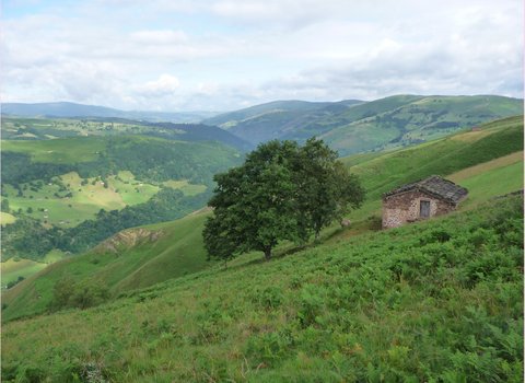
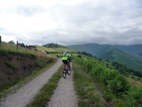
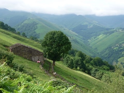
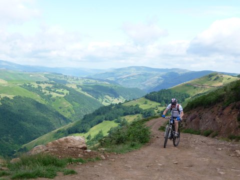
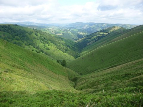
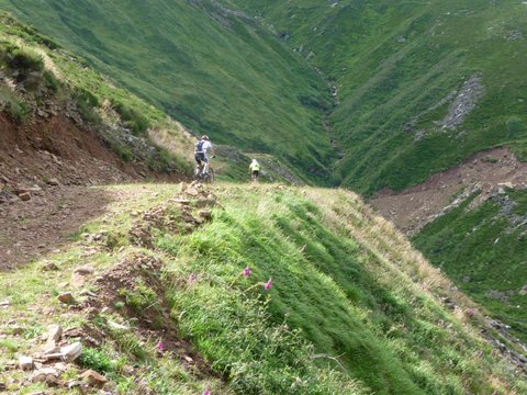
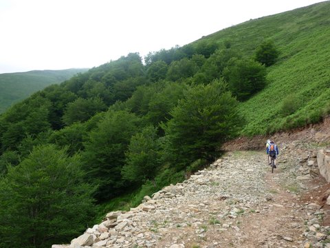
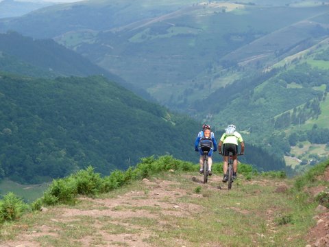
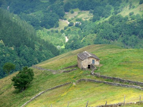
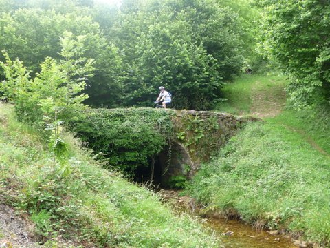
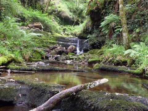
Vega de Pas
| Distance (km) | 31 |
| Cummulative ascent (m) | 1055 |
| Maximum height (m) | 972 |
| Total time | 4 hours and a quarter |
| Time moving | 3:13 |
| Start and end location | Vega de Pas |
| Difficulty | Medium |
| Date | Jul 2012 |
| Recommended season | All year round |