The Massif of Peña Labra can be seen at the end of the valley of River Guariza
By: Javier Tovar, Pedro Ceballos, Diegoo, and Michael González Harbour
| Distance (km/miles) |
30 / 19 |
| Cumulative ascent: meters/feet |
1197 / 3926 |
| Maximum height (meters/feet) | 1330 / 4362 |
| Total time |
5 hours |
| Time moving |
3:16 |
| Beginning and end location |
La Laguna, Polaciones |
| Difficulty |
High |
| Date |
June 2011 |
| Recommended period |
Summer, begining of Autum |
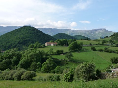 The Massif of Peña Labra in the background |
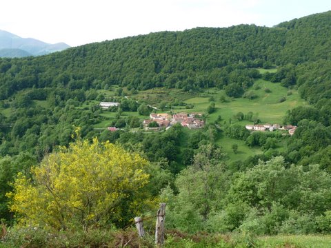 The village of Belmonte, surounded by forest |
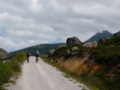 The peak of Cornón de Peña Sagra is at the right of the track |
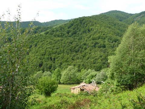 The mountains of Polaciones are covered by forest |
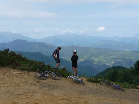 View of Liébana from the pass of Portillo de Brañas |
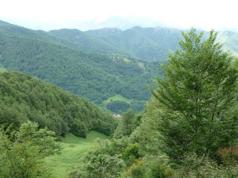 We can see Lamedo at the bottom of the valley |
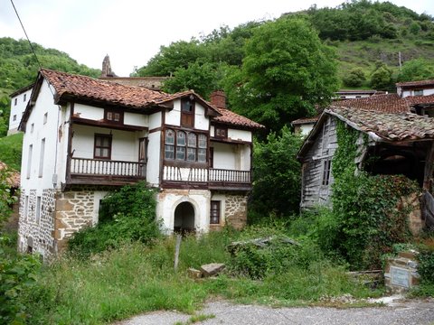 The houses of Lamedo have a special charm |
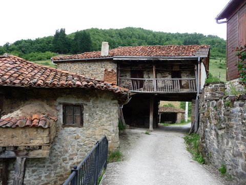 Bridge-house in Lamedo |
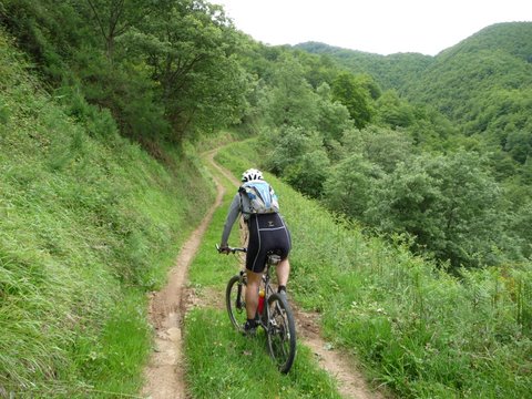 The track that climbs towards the pass between
Cuetos del Agua and Coteros de Titos |
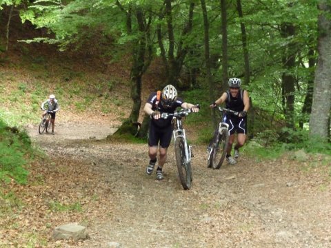 There are very steep sections |
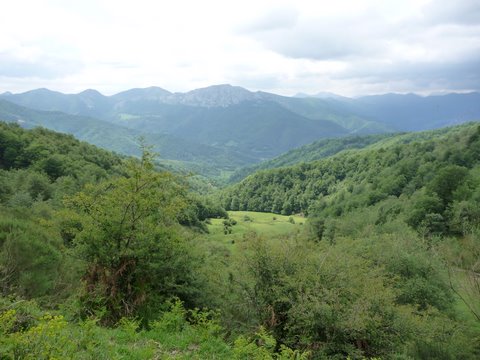 The view from the pass |
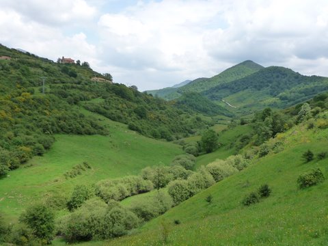 We return through the valley of Polaciones |