Cantabria by Bike

The Trail of the Ebro Reservoir (PR-S 78) from Orzales to Lanchares

Route 117

By: Javier Tovar, Pedro Ceballos, and Michael González Harbour

Map

Basic Data


Kilometers/Miles
29 / 18
Cumulative ascent: meters/feet
906 / 2971
Maximum height: meters/feet
1108 / 3634
Total time
4 hours
Time moving
3:01
Beginning and end location
Orzales
Difficulty
Medium
Month
April 2011
Recommended period
Spring, summer, autum

Profile

Pictures


foto 1
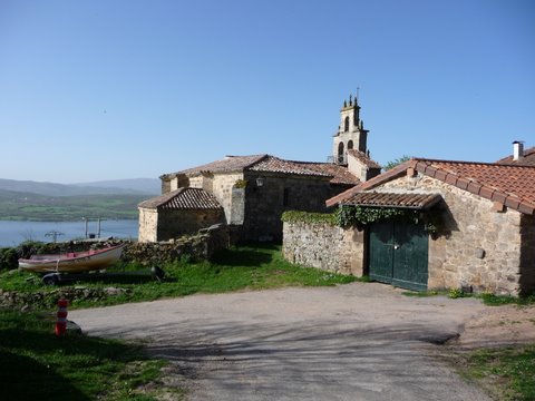
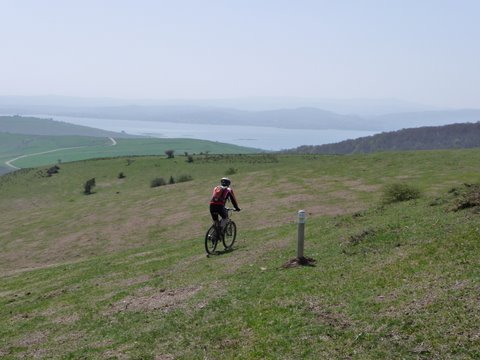
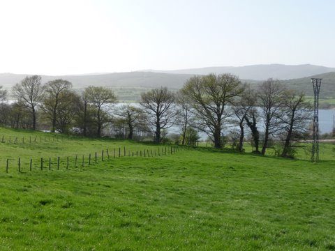
The trail continuously offers excellent views of the Ebro Reservoir
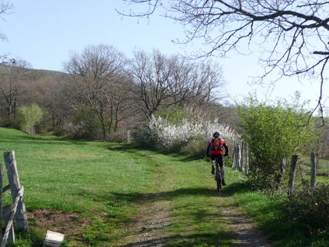
foto2
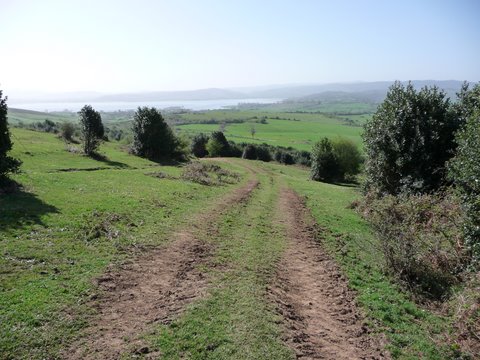
The ascent towards Quintana is easy

foto 3
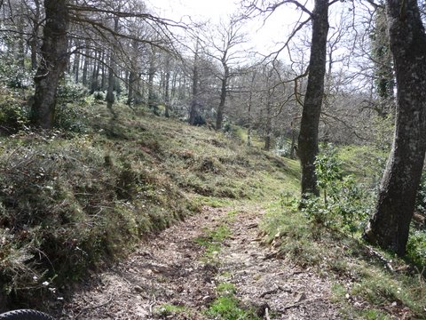
In Quintana we start climbing up a track through the forest
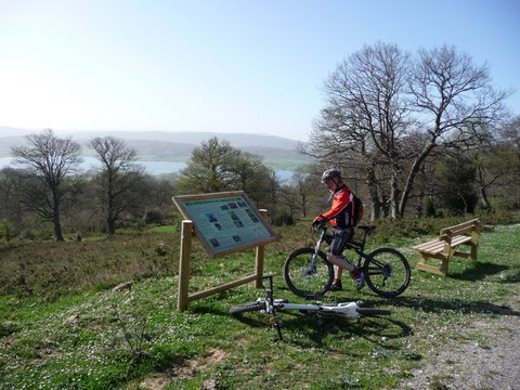
foto 4
The trail is well sign-posted and equipped
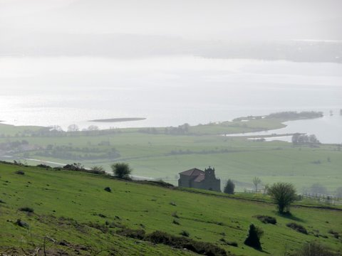
foto5
The Hermitage Our Lady of the Snows highlights the valley
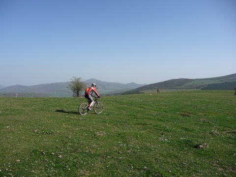
foto 6
In the height of Campo Alto we cycle on the fields
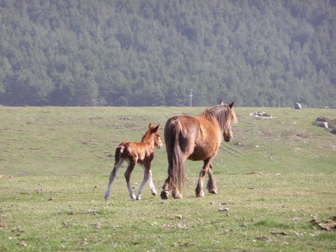
foto 7
Many foals are born in the last days

foto 8
The descent to Servillejas is fun

foto 9
The passage between Servillejas and Servillas is a
complicated path that goes into the forest
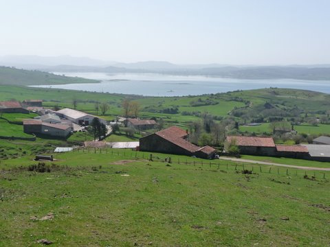

foto 10
We arrive at Servillas

foto 11
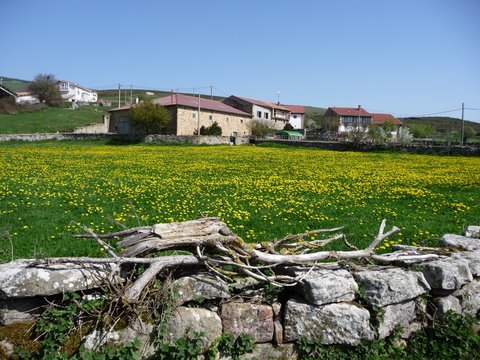
The grass is carpeted with flowers

foto 14
The descent to Lanchares is through the fields
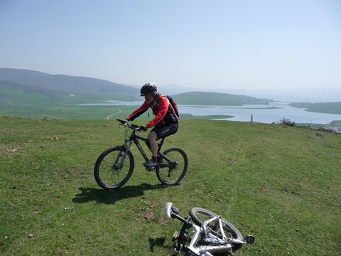
foto 13
We must follow the poles driven into the ground
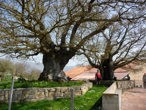
foto 12
In Lanchares we can find two huge centennial oak trees
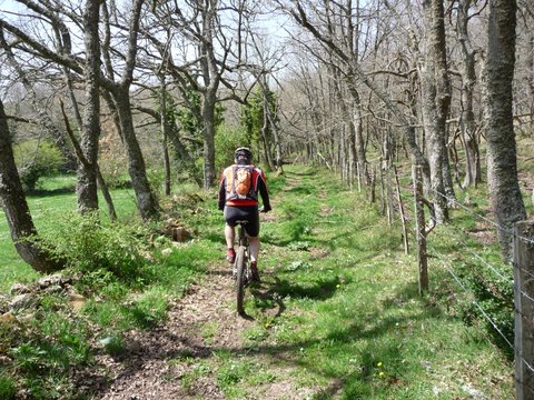
foto 15
The return alternates road and treed trails
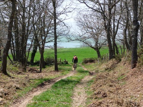
foto 16
The final descent to Orzales

Downloads

To open the route in Google Earth click on the 'KMZ' link and select 'Open with Goole Earth' (requires prior installation of Google Earth). To download a route, right-click on the link and select 'save link as' or a similar option.

Instructions

See the instructions and disclaimer, as well as other routes, in the main page.