Cantabria by Bike

Quintanilla Lamasón, Cicera, Bolera del Moro

Route 8b

By: Javier Tovar, Pedro Ceballos, and Michael González Harbour

Mapa

Basic Data

Distance (Km/miles)
31 /  19
Cumulative ascent: meters/feet
1200 / 3936
Maximum height
903 / 2962
Total time
4 and a half hours
Time moving
3:18
Beginning and end location
Quintanilla Lamasón
Difficulty
Medium
Date
April 2011
Recommended  period
All year round
 

Profile

Pictures


foto 1
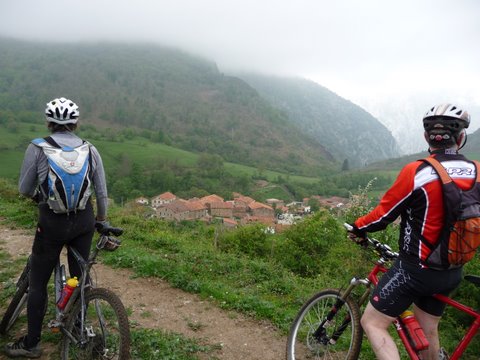
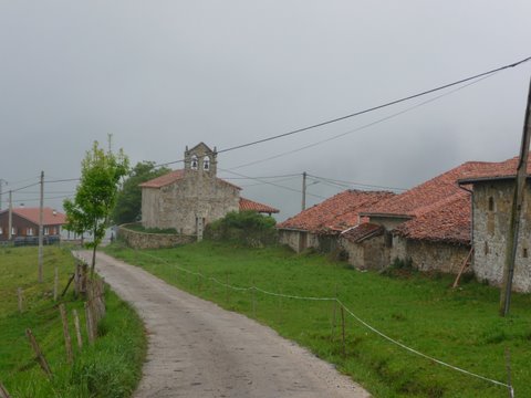
The village of  Río

foto2
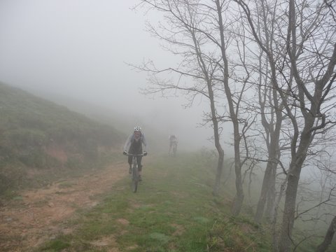
We climb in the fog towards the pass of  Carracedo
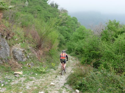
foto 3
The descent to Cicera

foto 4
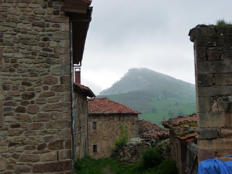
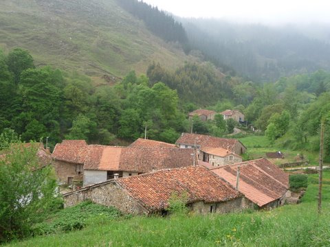
Cicera

foto5
The houses of Cicera, with Bolera del Moro in the background
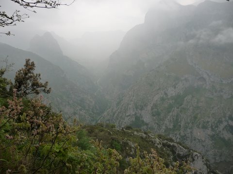
foto 6
View of the Gorge of Hermida

foto 7
The peak of Bolera del Moro is covered by the fog
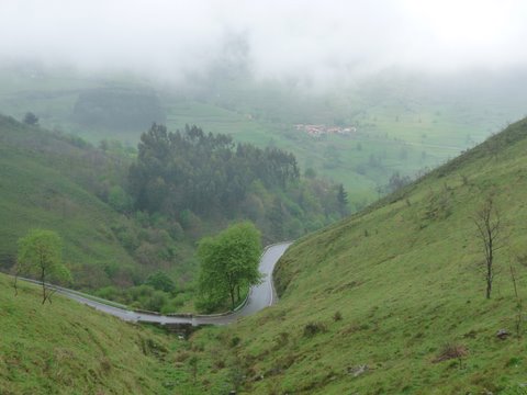
foto 8
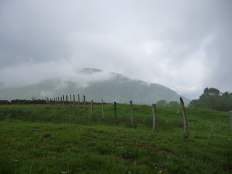
The valley covered in fog

foto 9
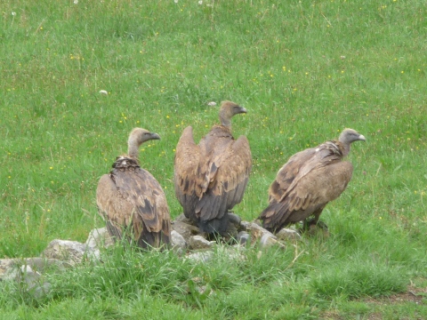
We find a group of vultures

foto 10
Cires


Downloads

To open the route in Google Earth click on the 'KMZ' link and select 'Open with Goole Earth' (requires prior installation of Google Earth). To download a route, right-click on the link and select 'save link as' or a similar option.

Instructions

See the instructions and disclaimer, as well as other routes, in the main page.