The beach and the port of Laredo and Mount Buciero as seen from the Vantage Point of Laredo
| Kilometers/Miles |
40 / 25 |
| Cumulative ascent: meters/feet |
1153 / 3781 |
| Maximum height: meters/feet |
547 / 1794 |
| Total time | 5 hours and a quarter |
| Time moving |
4:14 hours |
| Beginning and end location |
Laredo |
| Difficulty |
Medium |
| Month |
April 2010 |
| Recommended period |
All year round |
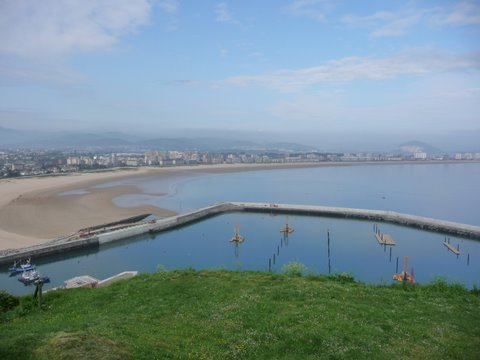 The new port of Laredo and the beach of Salvé, as seen from the vantage point of Laredo |
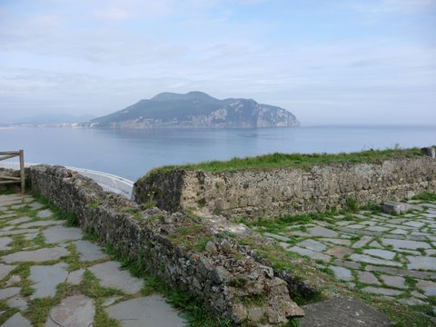 We ca see some ancient artillery battery for the defense of the bay. In the distance we can see Mount Buciero |
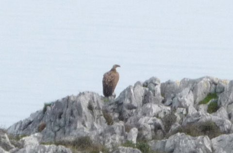 We are close to the vulture colony of Sonabia and that is why we find many vultures |
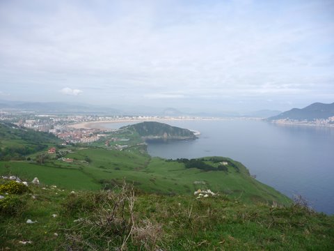 From the cliffs we can see Laredo and Santoña |
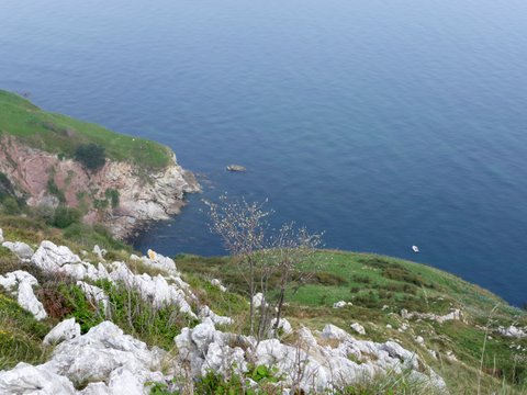 The cliff is very tall |
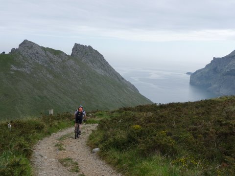 The path gets us close to the cliffs |
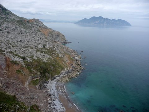 The cove of Erillo, with Mount Buciero in the distance |
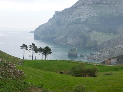 The cove of Yesera, near the hermitage of San Julián |
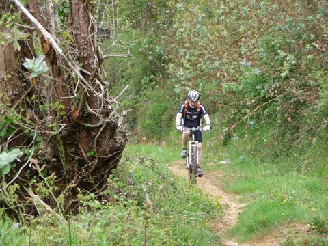 We go around the valley of Liendo through a footpath
|
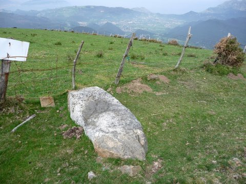 In the peak of Alto de Guriezo we find a menhir laying on the ground |