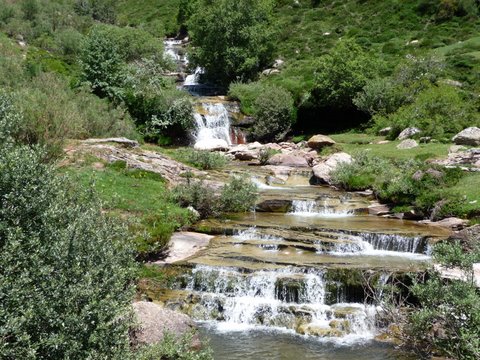
The falls of river Híjar

| Kilometers/Miles |
43 / 27 |
| Cumulative ascent: meters/feet |
1160 /3804 |
| Maximum height: meters/feet |
1644 / 5392 |
| Total time |
6 hours |
| Time moving |
4:47 hours |
| Beginning and end location |
Paracuelles |
| Difficulty |
High |
| Month |
June and July 2009 |
| Recommended period |
Summer |
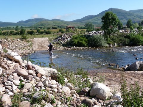 We cross river Híjar, near Paracuelles |
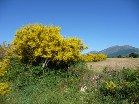 The bushes have exploded with their yellow flowers |
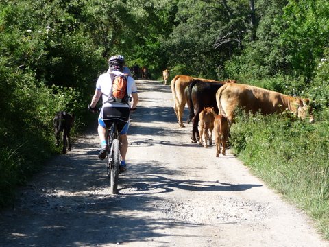 We pass by a herd of cattle |
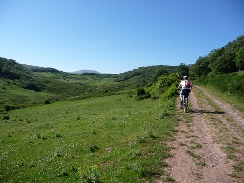 The ascent to Mazandrero |
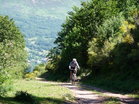 The ascent to Gulatrapa |
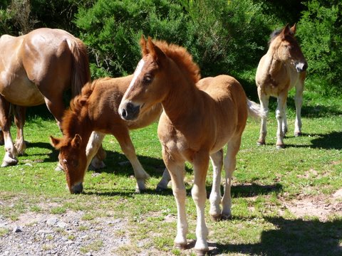 Baby horses |
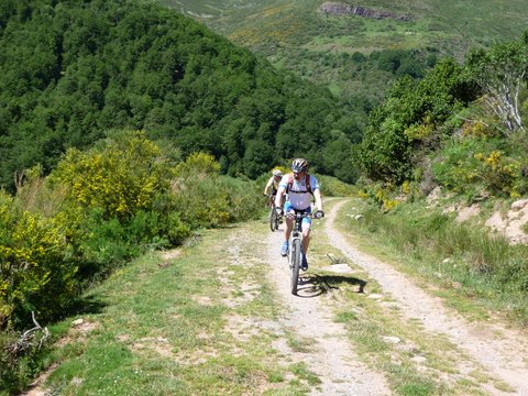 The track in Gulatrapa |
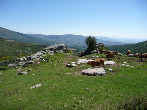 We can see the valley of Campoo |
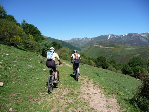 We can see the Sierra of Cordel
|
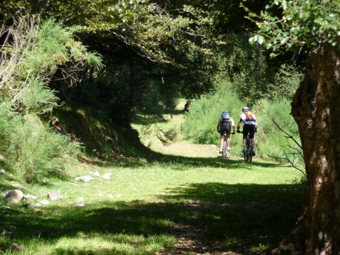 The track goes into a beech forest |
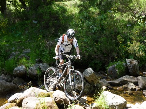 We cross Trescanales creek |
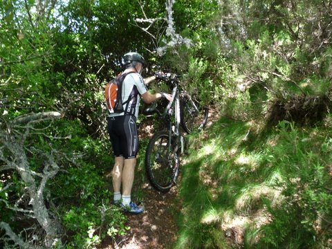 The ascent is complicated because of the bushes |
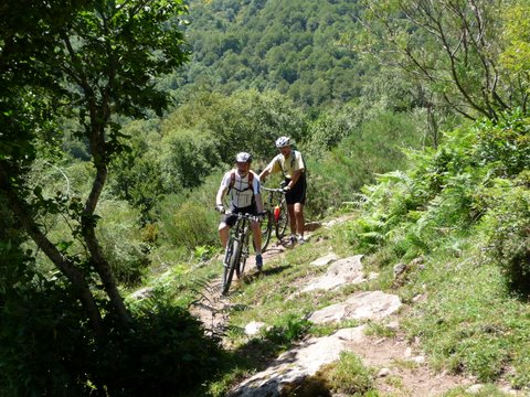 We have to walk for some time in this narrow footpath |
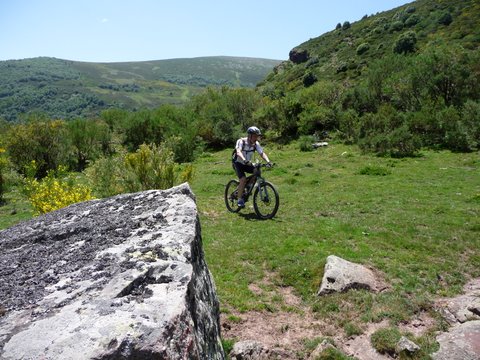 We cycle cross-country by the side of river Híjar |
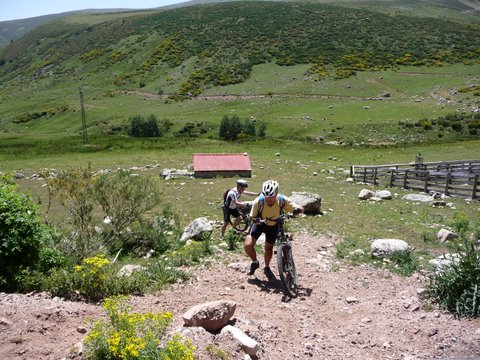 The last meters of the ascent to the sky station of Alto Campoo |
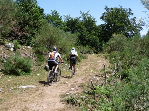 The descent towards Abiada is fun |