Cantabria by Bike

Mount Endino from Villaescusa

Route 97

By: Javier Tovar, Pedro Ceballos, and Michael González Harbour

Map

Basic Data


Kilometers/Miles
37 / 23
Cumulative ascent: meters/feet
1148 / 3765
Maximum height: meters/feet
1546 / 5071
Total time
5 hours
Time moving
3:53 hours
Beginning and end location
Villaescusa
Difficulty
Medium
Month
June 2009
Recommended period
Spring, verano

Profile

Pictures


foto1
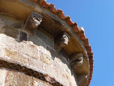
Romanesque corbels in the church of San Martín de Hoyos
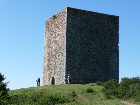
foto2
Medieval tower of  San Martín de Hoyos
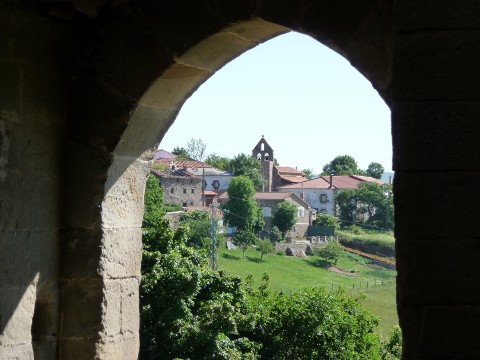
foto 3
The village of San Martín de Hoyos seen through the tower's gate
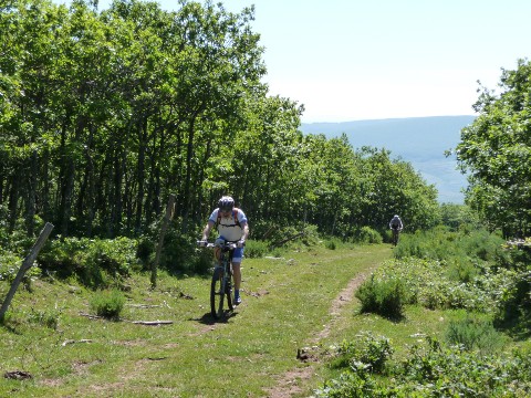
foto 4
The ascent to Mount Endino is through a thick oak forest
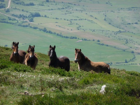
foto5
A few colts are watching us

foto 6
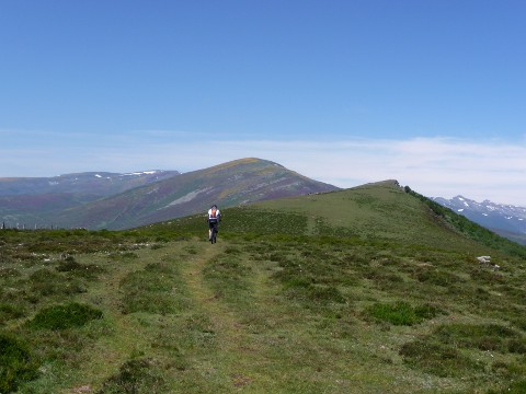
  The peak of Endino can be seen to the right
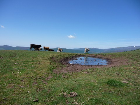
foto 7
Some cattle feeding close to a small pond
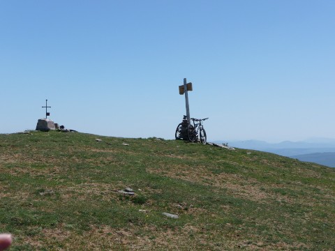
foto 8
  The peak of Endino

foto 9
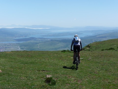
The descent, with the reservoir of river Ebro
which seems to be at the reach of the hand
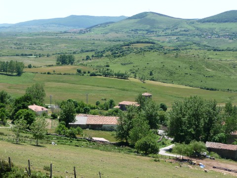
foto 10
  The village of Olea


Downloads

To open the route in Google Earth click on the 'KMZ' link and select 'Open with Goole Earth' (requires prior installation of Google Earth). To download a route, right-click on the link and select 'save link as' or a similar option.

Instructions

See the instructions and disclaimer, as well as other routes, in the main page.