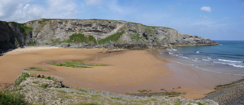
The estuary of Ajo

| Kilometers/Miles |
41 / 25 |
| Cumulative ascent: meters/feet |
792 / 2598 |
| Maximum height: meters/feet |
159 / 521 |
| Total time |
4 and a half hours |
| Time moving |
3:42 hours |
| Beginning and end location |
Galizano |
| Difficulty |
Low |
| Month |
June 2009 |
| Recommended period |
All year round |
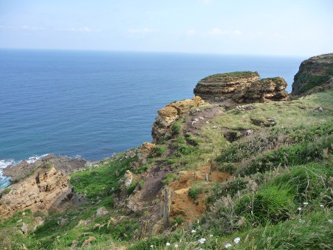 Cape Quintres |
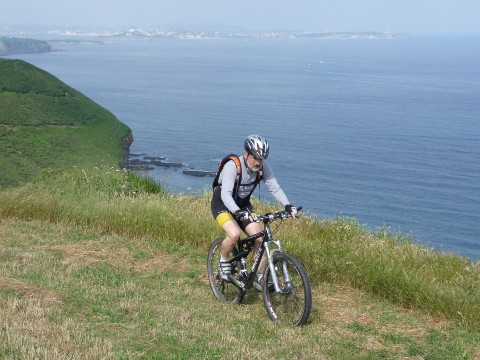 From the cape we can see Santander |
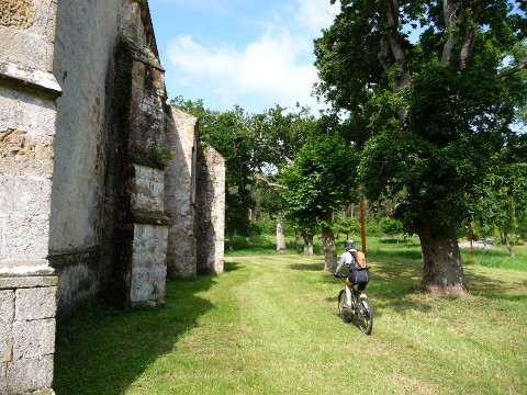 The isolated church of San Pedruco |
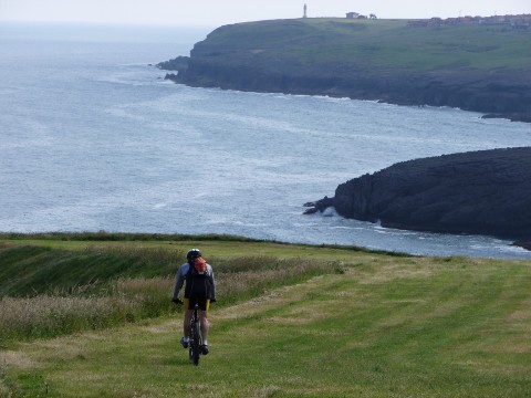 We go along the coast towards the cape of Ajo |
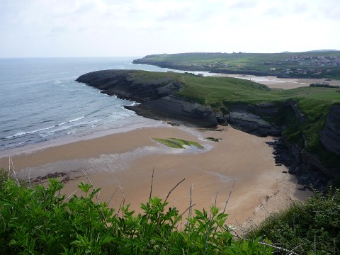 Antuerta beach |
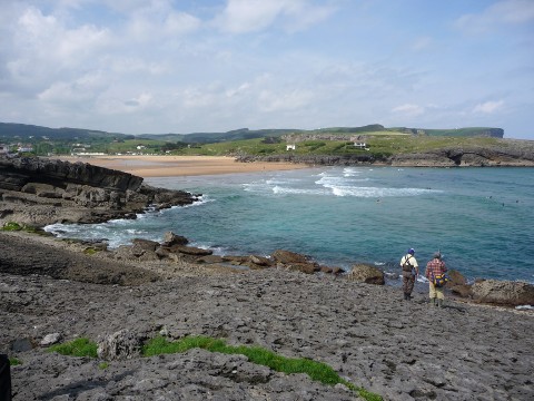 Cuberris beach |
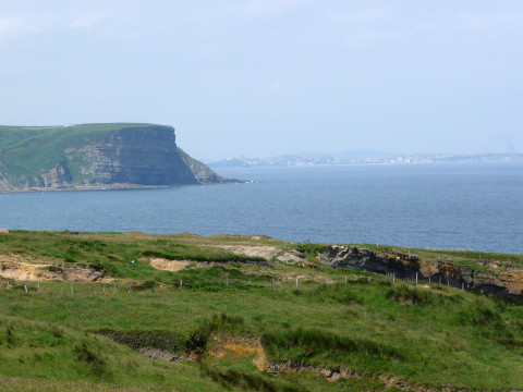 The view from the cape of Ajo |
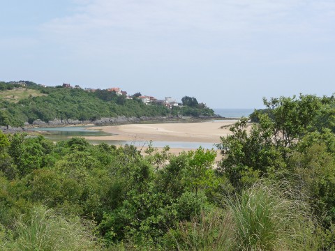 The estuary of Ajo |
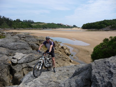 The path reaches the estuary,
near the beach of La Arena
|
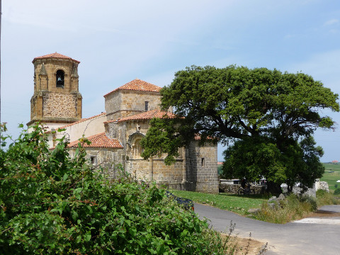 The beautifil romanesque church of Bareyo |
