Cantabria by Bike

Ascent to Mount Cildá from Luena

Route 95

By: Javier Tovar, Pedro Ceballos, and Michael González Harbour

Map

Basic Data


Kilometers/Miles
36 / 22
Cumulative ascent: meters/feet
1218 / 3995
Maximum height: meters/feet
1062 / 3483
Duración total
5 hours
Time moving
4:02 hours
Beginning and end location
Entrambasmestas
Difficulty
Medium
Month
May de 2009
Recommended period
Spring, summer, Autum
.

Profile

Pictures


foto1
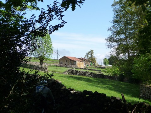
  The valley of Luena shows the intense green colour of the Spring
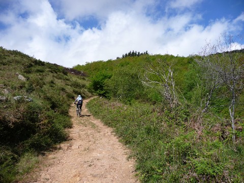
foto2
  The track that goes up from Cazpurrión
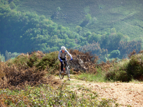
foto 3
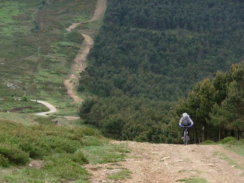
There are sections that are very steep
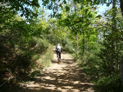
foto 4
We go into a very nice forest

foto5
Upon exiting the forst we reach the village of Urdiales
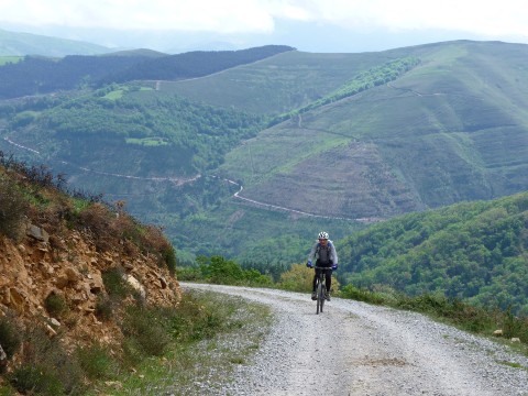
foto 6
We continue the ascent from Padierno
foto 7
  The pass of El Pombo
foto 8
  A hard ascent by the ridge gets us to Mount Cildá
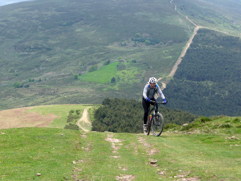
foto 9
We continue the ascent by the ridge

foto 10
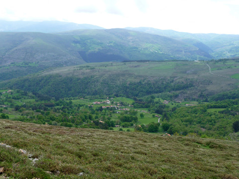
  From Mount Cildá we can see the valley of river Besaya
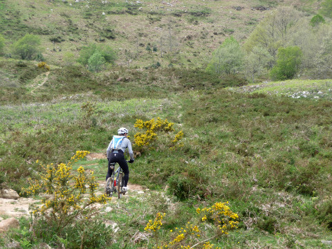
foto 11
The descent has many stones
foto 12
  From Campo del Caballo we take a footpath that does down by
the left side of Calabozo creek

Downloads

To open the route in Google Earth click on the 'KMZ' link and select 'Open with Goole Earth' (requires prior installation of Google Earth). To download a route, right-click on the link and select 'save link as' or a similar option.

Instructions

See the instructions and disclaimer, as well as other routes, in the main page.