
At the top of Cueto de Brenes

| Kilometers/Miles |
33 / 20 |
| Cumulative ascent: meters/feet |
1022 / 3352 |
| Maximum height: meters/feet |
766 / 2512 |
| Total duration |
3 hours and 3 quarters |
| Time moving |
2:50 hours |
| Beginning and end location |
Las Fraguas |
| Difficulty |
Medium |
| Month |
March 2009 |
| Recommended period |
All year round |
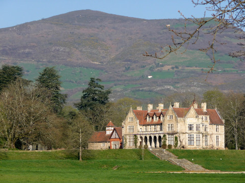 The Palace of Hormillos, with mount Peña del Cuervo behind In the middle of the slope we see the track that we will climb |
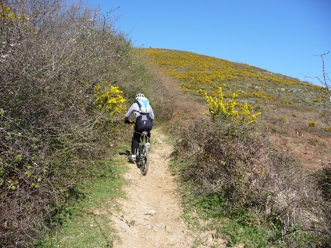 We climb through a narrow path |
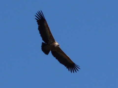 A vulture approaches us |
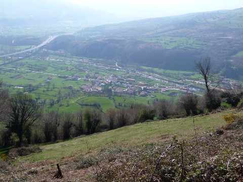 We leave the village of San Cristóbal below |
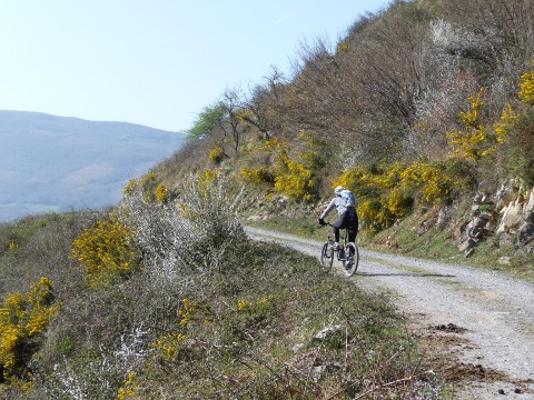 The ascent is comfortable |
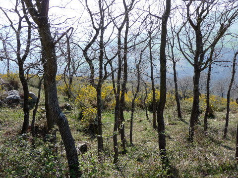 The forest will soon be covered in leaves |
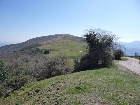 The Height of Brenes |
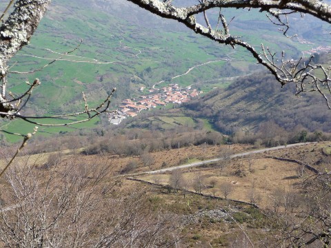 View of Villasuso de Cieza during the descent |
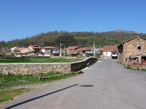 The village of Villayuso de
Cieza
|
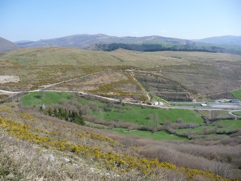 The track goes over the tunnels of the motorway |
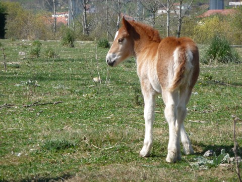 A baby horse |
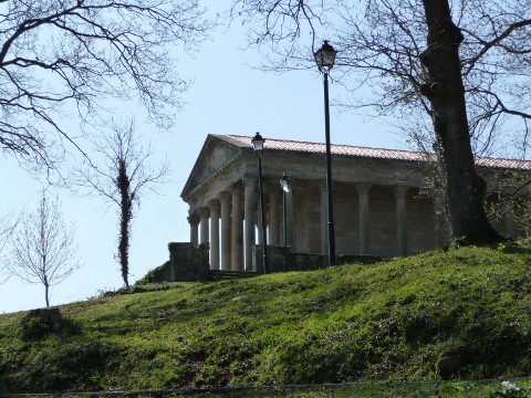 The church of St. Jorge is a neoclasic temple close to the Palace of los Hornillos |