Cantabria by Bike

The forests of Brañosera from Mataporquera

Route 102

By: Javier Tovar, Pedro Ceballos, and Michael González Harbour

Map

Basic Data


Kilometers/Miles
45 / 28
Cumulative ascent: meters/feet
1094 / 3588
Maximum height: meters/feet
1377 / 4516
Total time
4 hours
Time moving
3:35 hours
Beginning and end location
Mataporquera
Difficulty
Medium
Month
September 2009
Recommended period
Summer and early Autum


Profile

Pictures


foto1
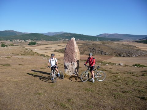
The menhir of Peñuco is part of the route of the
menhires of Valdeolea
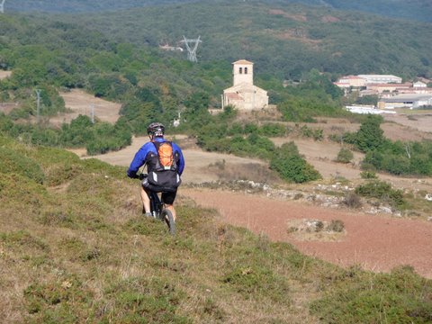
foto2
We approach the church of Our Lady, in las Henestrosas
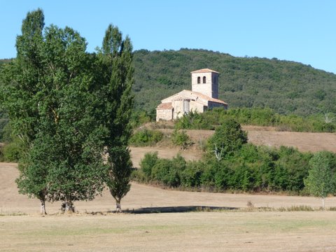
foto 3
The romanesque church of Our Lady stands on the top of a hill
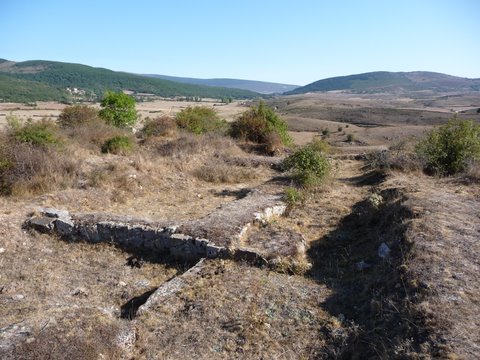
foto 4
  The ruins of el Torrejón de Las Henestrosas, from the XIII-XIV century
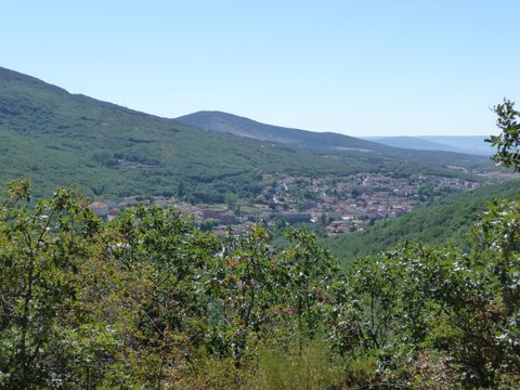
foto5
  The miner's village of Barruelo de Santullán
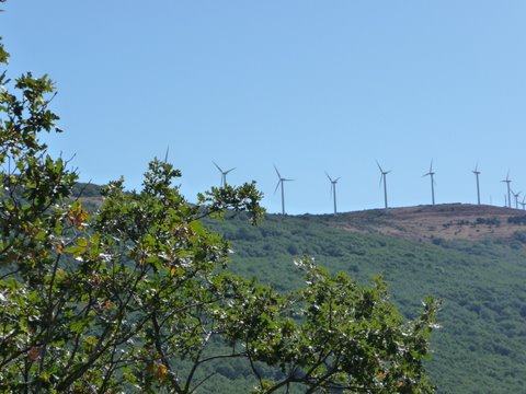
foto 6
The route goes around Mount Cocoto, which is topped with a wind mill farm
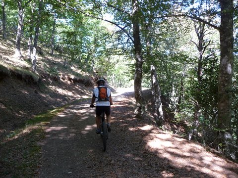
foto 7
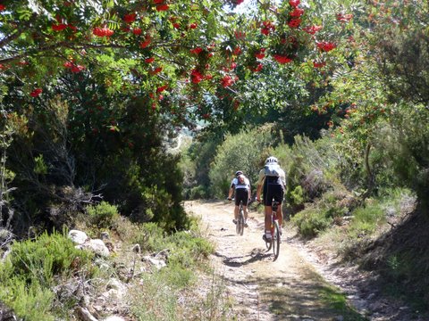
The track goes into the forest
foto 8
Some trees are covered with impressive red berries
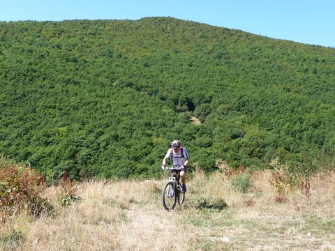
foto 9
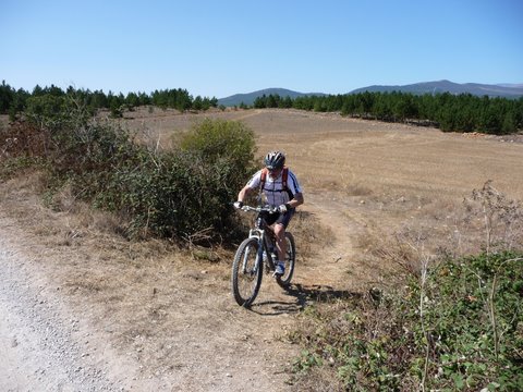
We come out from the forest

foto 10
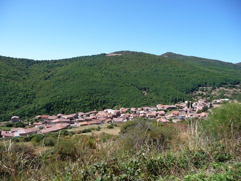
The village of Brañosera surrounded by the forest
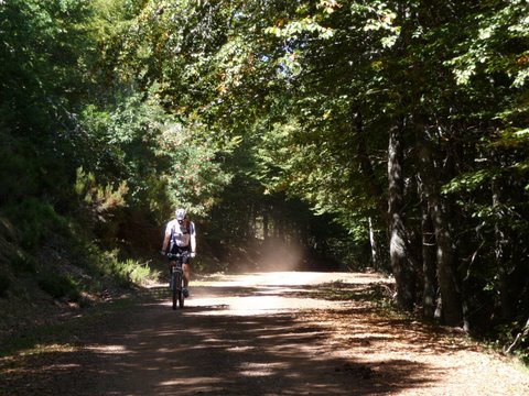
foto11
A long descent inside the forest

foto 12
  Arriving in Mataporquera

Downloads

To open the route in Google Earth click on the 'KMZ' link and select 'Open with Goole Earth' (requires prior installation of Google Earth). To download a route, right-click on the link and select 'save link as' or a similar option.

Instructions

See the instructions and disclaimer, as well as other routes, in the main page.