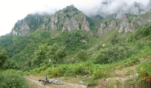
The Eastern Massif of Picos de Europa covered with fog

| Kilometers/Miles |
29 / 18 |
| Cumulative ascent: meters/feet |
1385 / 4542 |
| Maximum height: meters/feet |
1101 / 3611 |
| Total time |
4 hours and a quarter |
| Time moving |
3:26 hours |
| Beginning and end location |
Tama |
| Difficulty |
High |
| Month |
July 2009 |
| Recommended period |
Spring, Summer, Autum |
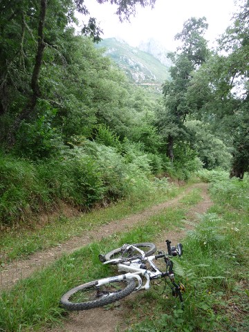 The hard ascent from Argüebanes |
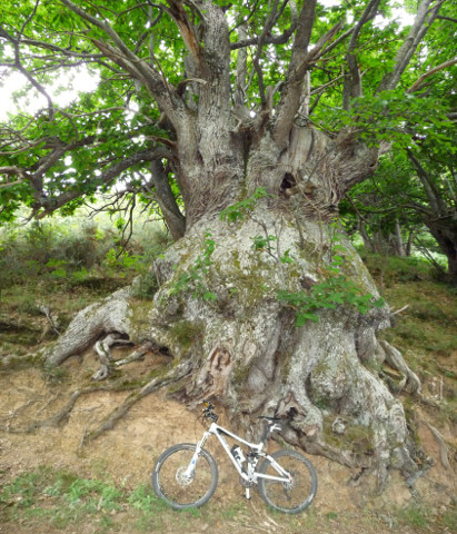 A huge chestnut tree |
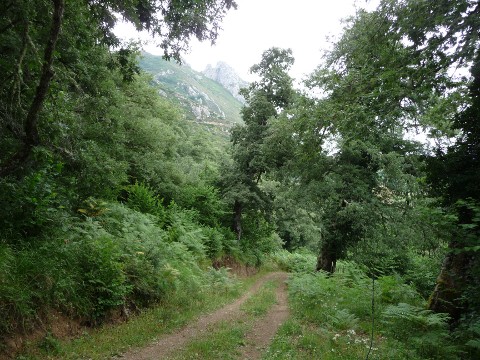 The ascent has a lot of trees |
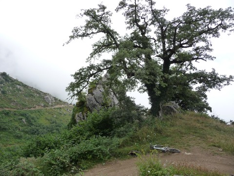 The fog is covering the track |
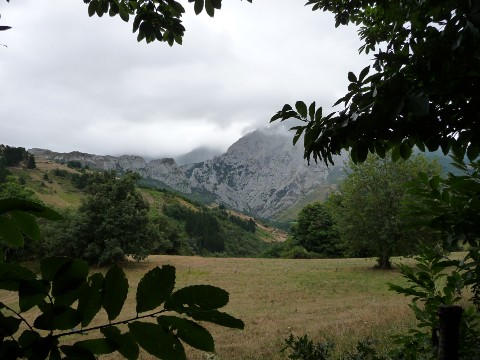 The peaks are getting covered with fog |
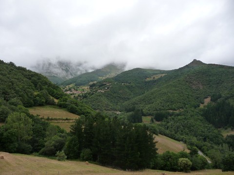 The village of Colio |
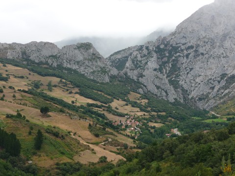 Castro Cillorigo |
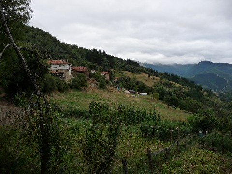 Viñón |
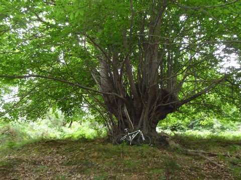 Another chestnut tree
|
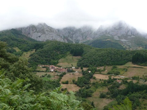 Viñón |
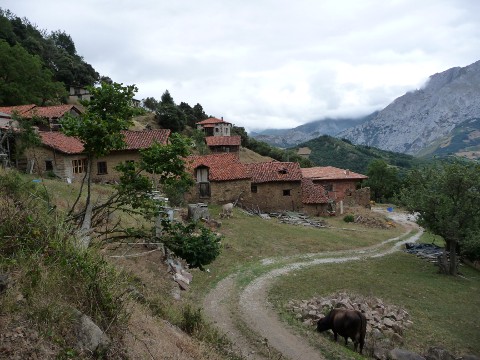 The village of Lles has no paved road |
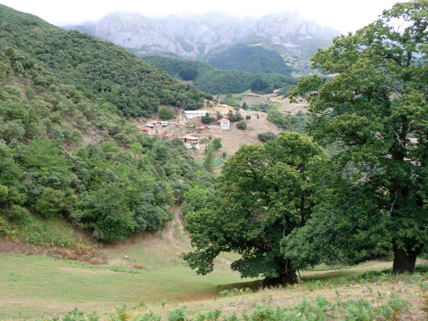 Lles, behind some huge chestnut trees |