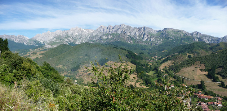
The Eastern Massif of Picos de Europa as seen from Santo Toribio

| Kilometers/Miles |
31 / 19 |
| Cumulative ascent: meters/feet |
1273 / 4175 |
| Maximum height: meters/feet |
978 / 3208 |
| Total time |
5 and a half hours |
| Time moving |
3:47 hours |
| Beginning and end location |
Potes |
| Difficulty |
High |
| Month |
July 2009 |
| Recommended period |
Spring, Summer, Autum |
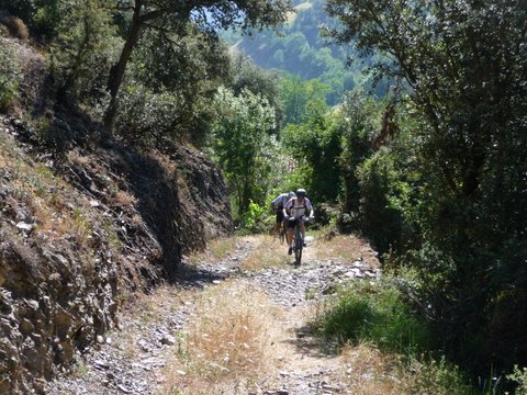 The ascent from Beares |
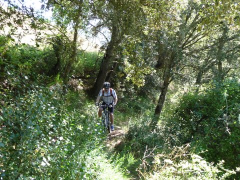 We go through a narrow footpath |
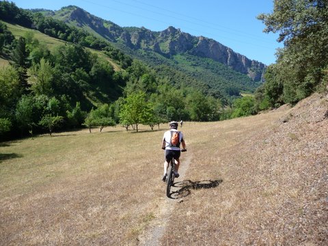 Arriving at Camaleño by a footpath near river Deva |
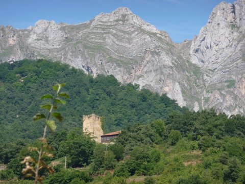 The middle-age tower of Mogrovejo, from the other side of the valley |
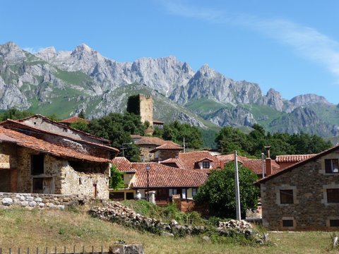 Mogrovejo in front of the eastern Massif of Picos de Europa |
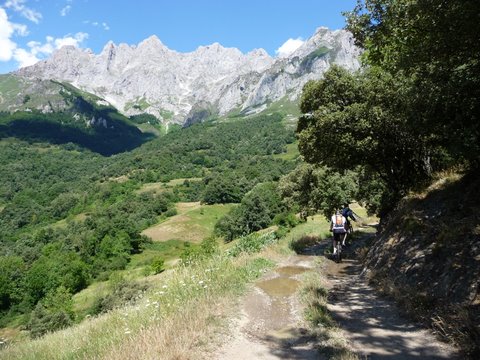 The ascent by the track that leads to la Canal de Lechugales |
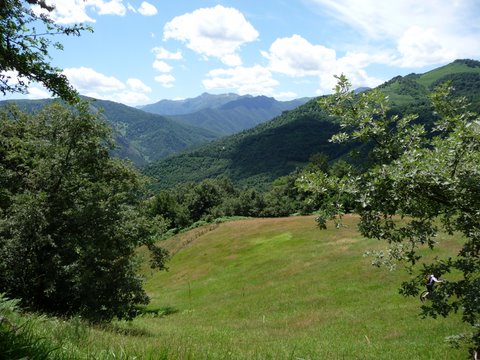 Peak Jano closes the Deva valley in the South |
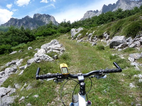 At the end of the path we can see La Canal de los Tornos |
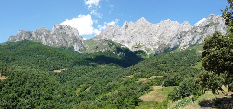 La Canal de Los Tornos |
|
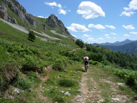 We cycle through a track by the
border
of the National Park of Picos de Europa |
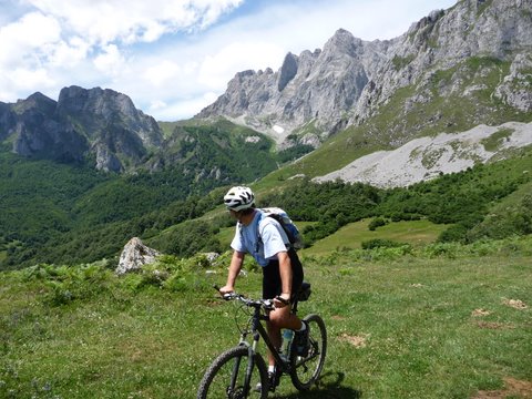 Incredible views of Picos |
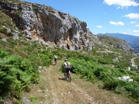 We pass near Los Invernales de Rojes |
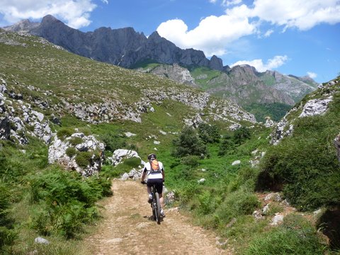 We go down close to peak Peña de la Cerra |
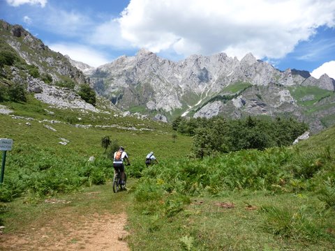 There is still some snow |
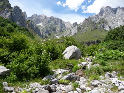 La Canal de las Arredondas |