Cantabria by Bike

Ascent to Mount Troncos from Puente Nansa

Route 84

By: Javier Tovar, Pedro Ceballos, y Michael González Harbour

Map

Basic Data


Kilometers/Miles
28
Cumulative ascent: meters/feet
1092
Maximum height: meters/feet
930
Duration
3 and a half hours
Beginning and end location
Puente Nansa
Difficulty
Medium
Month
September 2008
Recommended period
All year round

Profile

Pictures


foto1
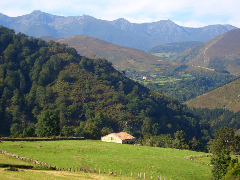
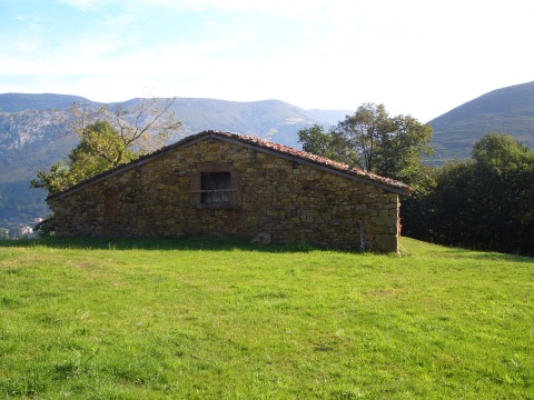
A cottage near the Hermitage of  La Virgen del Llano
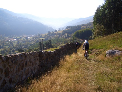
foto2
The descent to Cosío

foto 3
The initial part of the valley of Gormejón creek,
with the massif of Peña Sagra behind
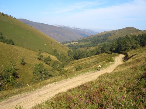
foto 4
The track goes up to Mount Troncos
  through the valle of the Gormejón creek
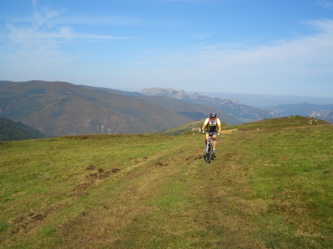
foto5
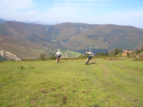
When we reach the end of the track we continue cross country
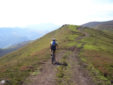
foto 6
 The deep valley of river Nansa is at the left
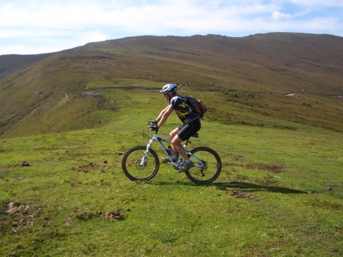
foto 7
We continue cross country on the ridge
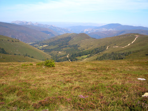
foto 8
A view of the track that we left behind
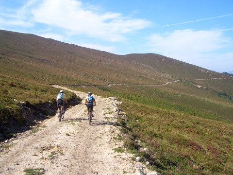
foto 10
We now go to Cueto de la Fuente

foto10
From Cueto de la Fuente we get a magnificent view
of San Sebastián de Garabandal
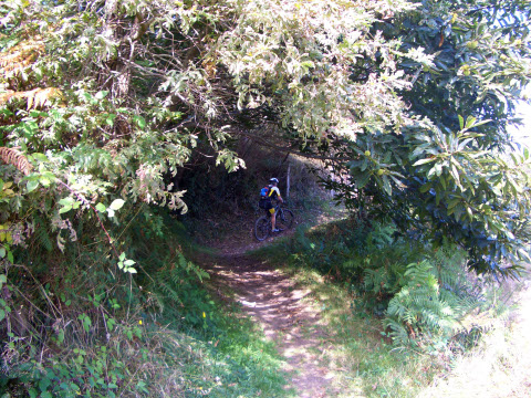
foto 11
We return using the same path

foto 12
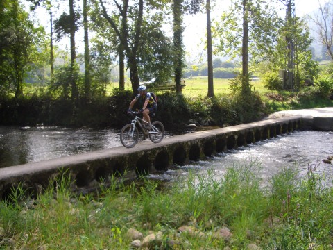
When we arrive at Puente Nansa we have to cross
 river Nansa through a narrow bridge

Downloads

To open the route in Google Earth click on the 'KMZ' link and select 'Open with Goole Earth' (requires prior installation of Google Earth). To download a route, right-click on the link and select 'save link as' or a similar option.

Instructions

See the instructions and disclaimer, as well as other routes, in the main page.