Cantabria by Bike

Resconorio, Peñas Ojastras and Peñas de Bajera

Route 83

By: Javier Tovar, Pedro Ceballos, y Michael González Harbour

Map

Basic Data


Kilometers/Miles
43
Cumulative ascent: meters/feet
1482
Maximum height: meters/feet
1461
Duration
5 and a half hours
Beginning and end location
Near Resconorio
Difficulty
High
Month
September 2008
Recommended period
Summer, start of the Autum

Profile

Pictures


foto1
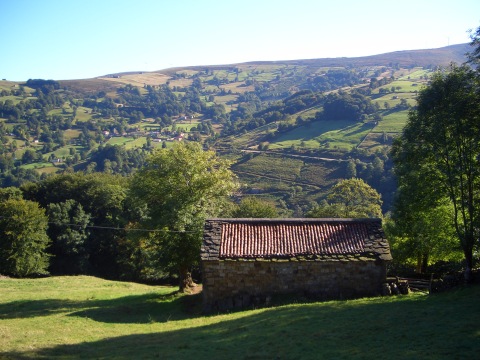
The village of Resconorio, near the pass of El Escudo
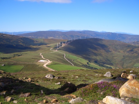
foto2
  A wind farm near the pass of Matanela
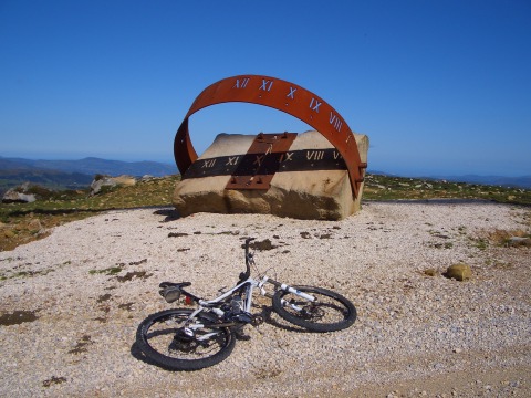
foto 3
  A sun clock installed on the ridge of the Cantabrian Range
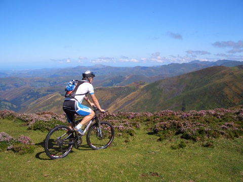
foto 4
The views from the ridge are spectacular
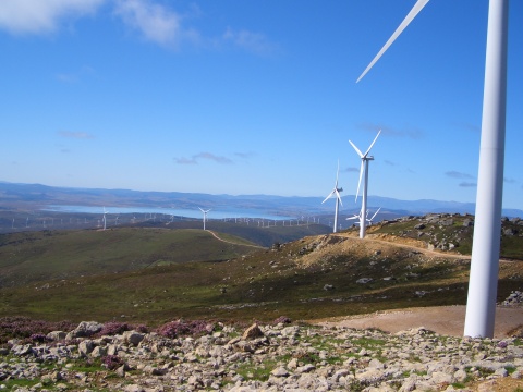
foto5
An unusual view of the reservoir of Ebro,
surounded by wind turbines
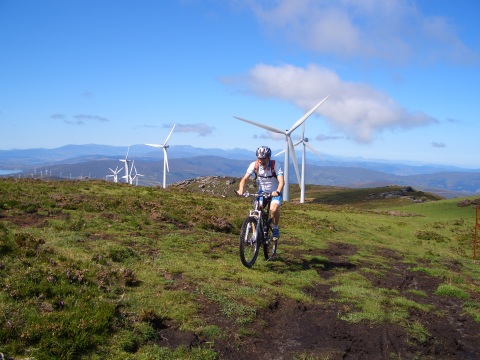
foto 6
The end of the ascent to Peñas Ojastras
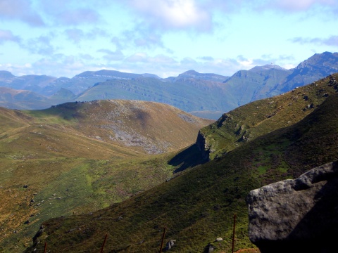
foto 7
  Peak Picón del Fraile as seen from Peñas Ojastras
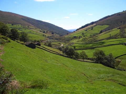
foto 8
The valley of river Nela

foto 10
  The path by the Nela river is enjoyable
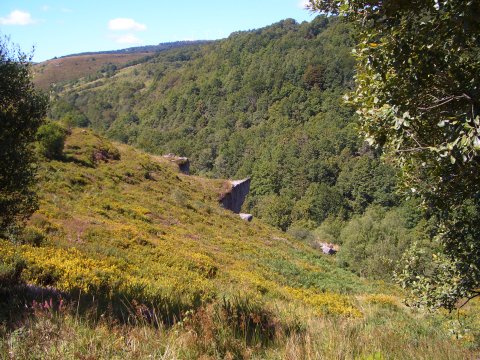
foto10
We go up to Peñas de Bajera

Downloads

To open the route in Google Earth click on the 'KMZ' link and select 'Open with Goole Earth' (requires prior installation of Google Earth). To download a route, right-click on the link and select 'save link as' or a similar option.

Instructions

See the instructions and disclaimer, as well as other routes, in the main page.