Cantabria by Bike

San Roque de Riomiera, Height of La Tejada, Height of El Caracol

Route 82

By: Javier Tovar, Pedro Ceballos, Jesús Rodríguez, and Michael González Harbour

Map

Basic Data


Kilometers/Miles
29 / 18
Cumulative ascent: meters/feet
1087 / 3565
Maximum height: meters/feet
940 / 3083
Duration
4 and a half hours
Beginning and end location
San Roque de Riomiera
Difficulty
High
Month
September 2008
Recommended period
All year round, dry conditions


Profile

Pictures


foto1
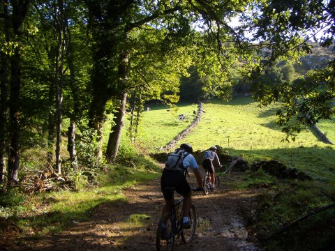
The track near the village of Los Cerrillos
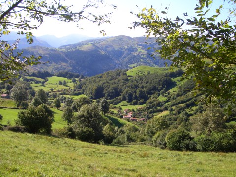
foto2
The village of Solana surrounded by a green valley
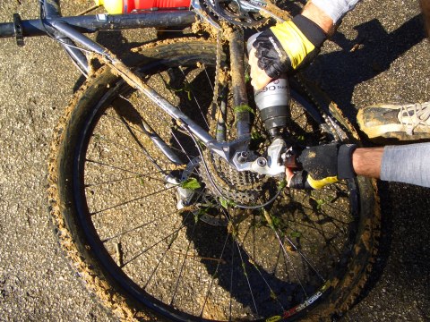
foto 3
The mud has broken the rear derailleur in one of the bikes
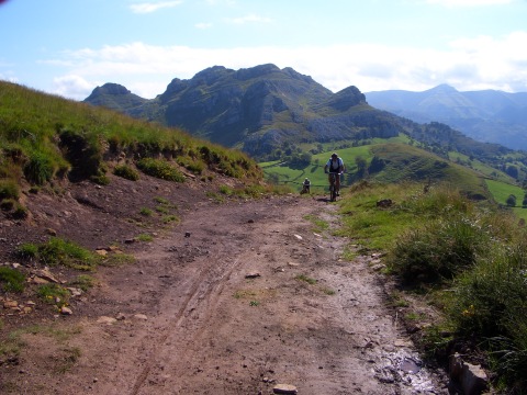
foto 4
We climb towards the Pass of Edillo
foto5
  We cycle on the ridge of Peña El Acebo
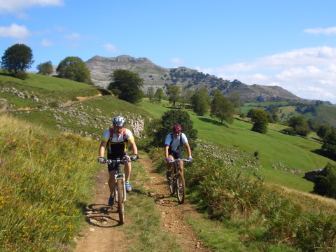
foto 6
The ascent from the village of Carcabal
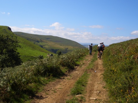
foto 7
A shepherd carries a big milk pot on his back
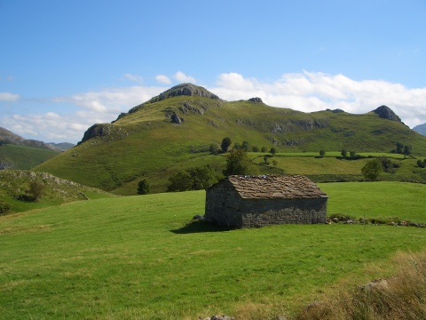
foto 8
A Pasiego style cottage

foto 10
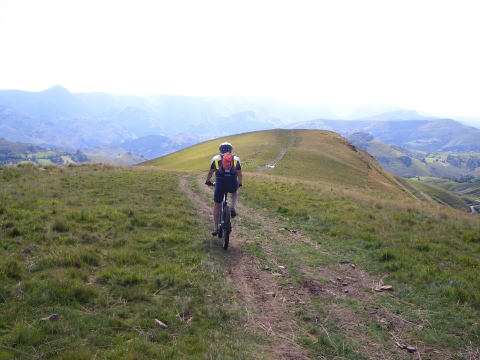
  The ascent to the Height of La Tejada
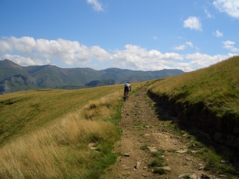
foto10
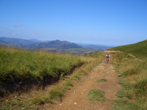
We go up to the pass of El Acebo
foto11
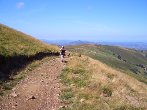
We enjoy views up to the coast line

foto12
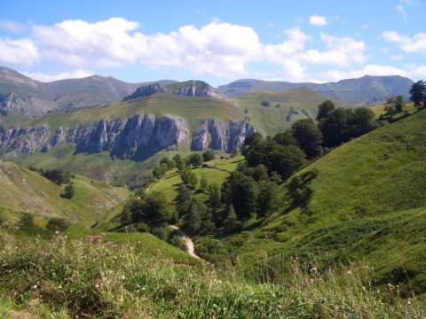
The view from the Height of El Caracol

Downloads

To open the route in Google Earth click on the 'KMZ' link and select 'Open with Goole Earth' (requires prior installation of Google Earth). To download a route, right-click on the link and select 'save link as' or a similar option.

Instructions

See the instructions and disclaimer, as well as other routes, in the main page.