Cantabria by Bike

The Sierra of Peña Labra from Izara

Route 80

By: Javier Tovar, Jesús Rodriguez, Pedro Álvarez, y Michael González Harbour

Map

Basic Data


Kilometers/Miles
50 / 31
Cumulative ascent: meters/feet
1385 / 4542
Maximum height: meters/feet
2063 / 6766
Duration
6 hours and a quarter
Beginning and end location
Izara
Difficulty
High
Month
August 2008
Recommended period
Summer


Profile

Pictures


foto1
The end of the track in Mount Endino
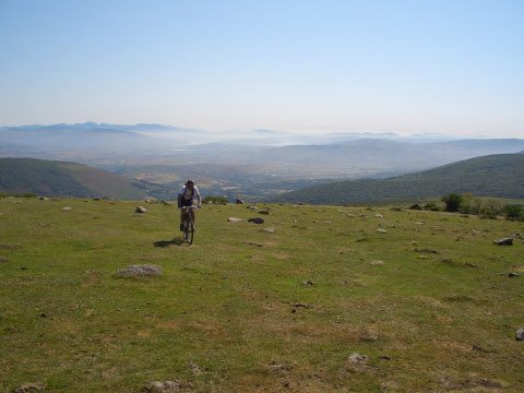
foto2
The reservoir of Ebro can be seen behind, partially covered by fog
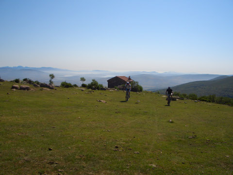
foto 3
We leave Cabañías

foto 4
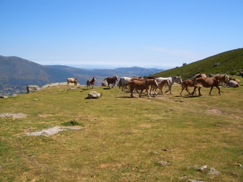
Horses in Cuenca Bucer
foto5
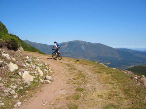
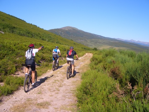
The slope is not too steep but is long
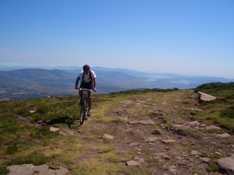
foto 6
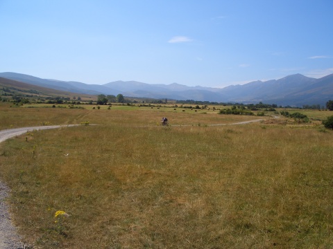
The track gains height over the valley of Campoo
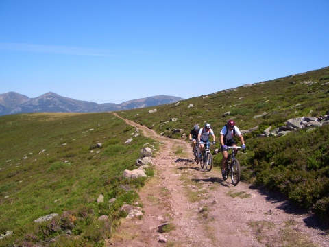
foto 7
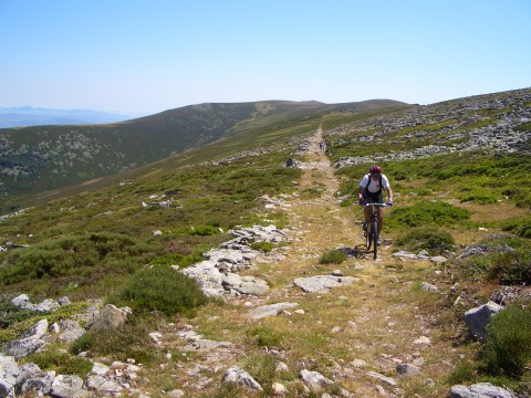
We start the "path of the war", near the ridge of the Sierra of Peña Labra
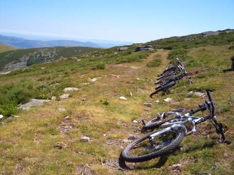
foto 8
A rest

foto 10
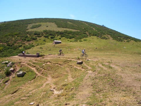
The "path of the war" has many stones
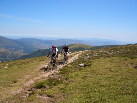
foto10
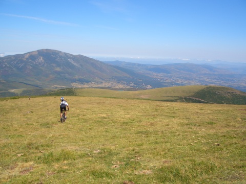
The views of the valle are very beautiful
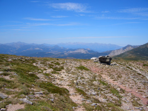
foto11
  The Picos de Europa can be seen in the background
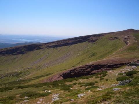
foto12
The side of mount Valdecebollas, as viewed form peak Sestil
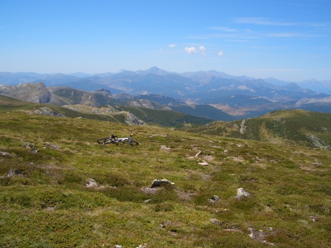
foto13
The mountains of Palencia

foto14
Cross-country descent
foto 15
  We recharge water in Guaza Redul
foto 16
Back in the valley, near Villacantid

Downloads

To open the route in Google Earth click on the 'KMZ' link and select 'Open with Goole Earth' (requires prior installation of Google Earth). To download a route, right-click on the link and select 'save link as' or a similar option.

Instructions

See the instructions and disclaimer, as well as other routes, in the main page.