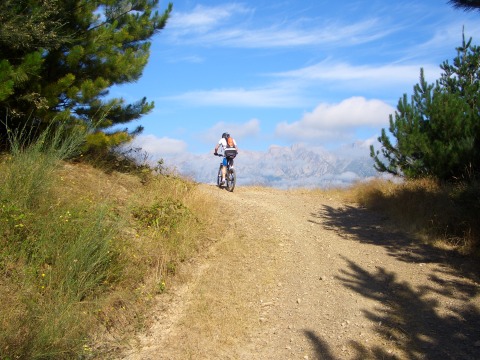
The Picos de Europa stand at the end of the path
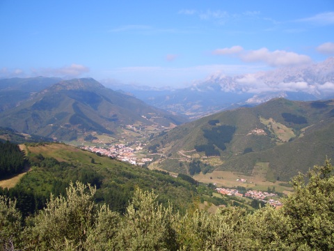
Potes, in the valley
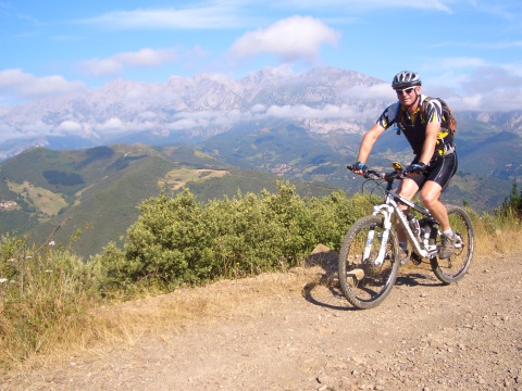
The views of the Picos de Europa are impressive
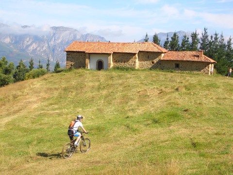
The hermitage of St. Tirso
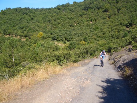
Arriving at Cahecho
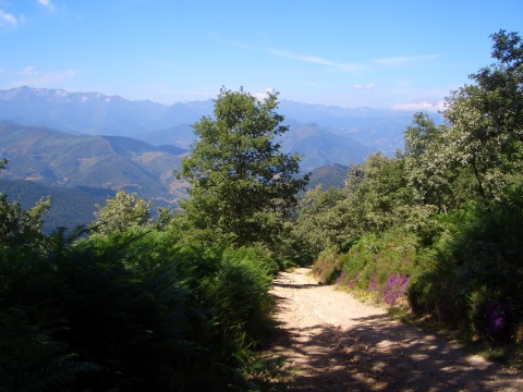
The slope is very hard
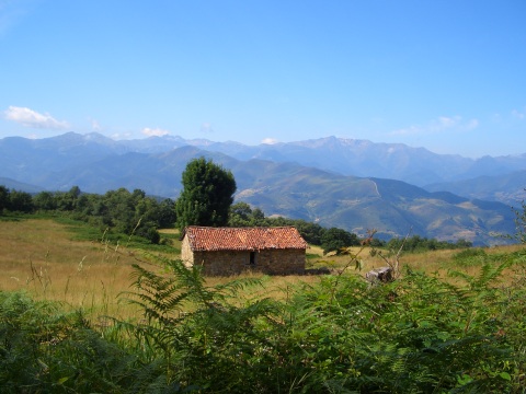
A cottage on the slopes of the massif of Peña Sagra
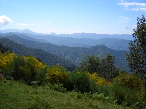
The mountains are covered vith forests
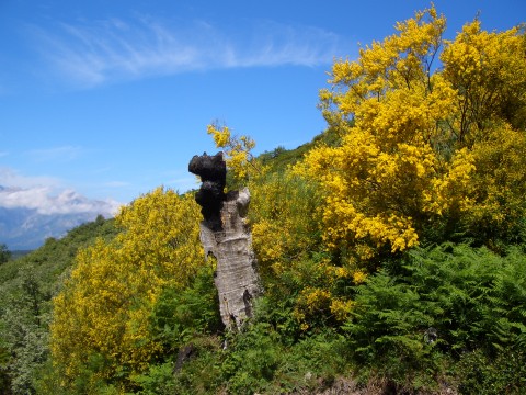
A tree destroyed by lightning
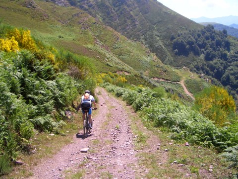
The track goes along the slopes of Peña Sagra
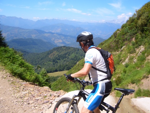
We continue getting impressive views
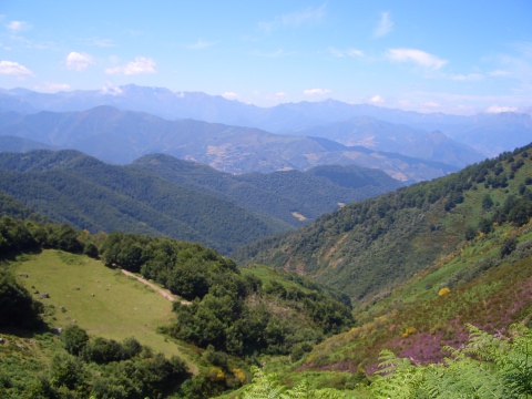
We can see a good part of Liébana
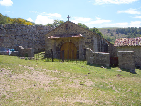
The hermitage of la Virgen de la Luz
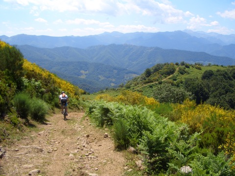
The descent to Torices is on a fun ridge