Cantabria by Bike

Bárcena de Pie de Concha, Lantueno,
San Miguel de Aguayo, Jano Peak

Route 75

By: Javier Tovar, Pedro Ceballos, Jesús Rodríguez, and Michael González Harbour

Map

Basic Data


Kilometers/Miles
37 / 23
Cumulative ascent: meters/feet
1312 / 4303
Maximum height: meters/feet
1163 / 3815
Duration
5 hours
Beginning and end location
Bárcena de Pie de Concha
Difficulty
Medium
Month
June 2008
Recommended period
Spring, summer, autum


Profile

Pictures


foto1
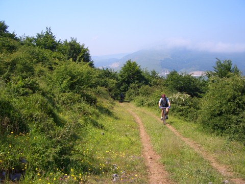
The Camino Real goes through the valley higher than the road
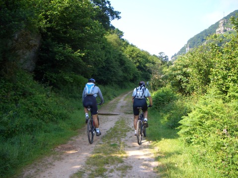
foto2
It is a pleasure to cycle in the Camino Real
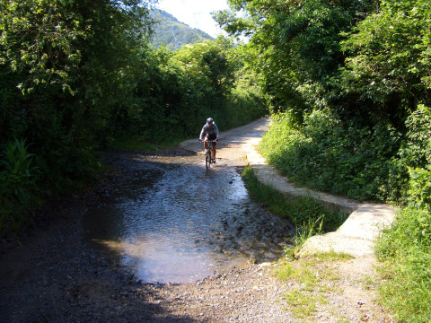
foto 3
  Leaving Lantueno

foto 4
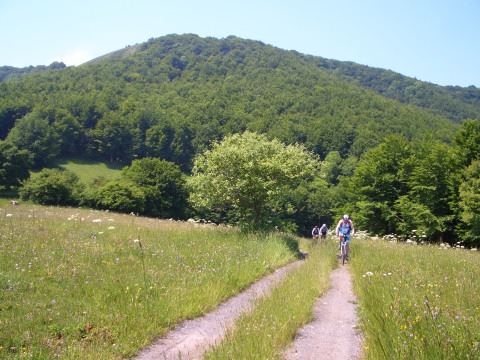
Climbing towards the height known as  Peluca de Burdeje
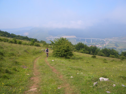
foto5
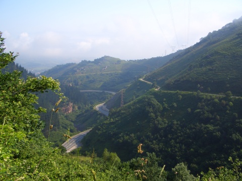
We can see the valley of river Besaya during the ascent
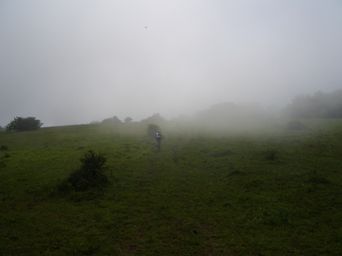
foto 6
Near the top we get into the fog

foto 7
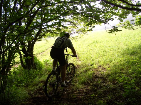
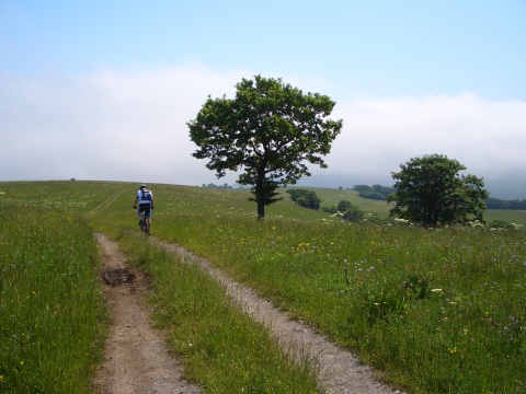
Coming out from a small forest

foto 8
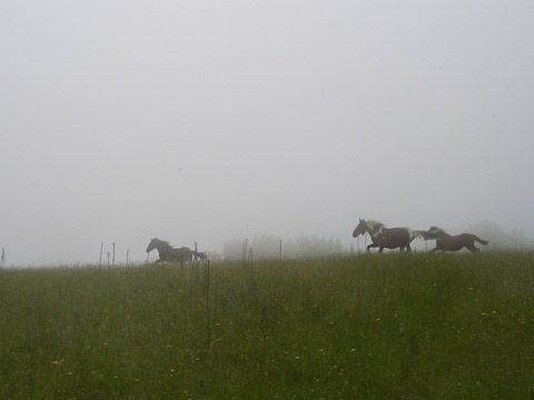
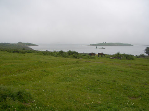
Galloping horses

foto 10
We come out from the forest

foto10
Approaching San Miguel de Aguayo
foto 11
The reservoir of Alsa, covered in part with fog
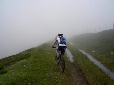
foto 12
We cycle in the fog next to the reservoir of Mediajo

Downloads

To open the route in Google Earth click on the 'KMZ' link and select 'Open with Goole Earth' (requires prior installation of Google Earth). To download a route, right-click on the link and select 'save link as' or a similar option.

Instructions

See the instructions and disclaimer, as well as other routes, in the main page.