Cantabria by Bike

Carasa, La Alcomba, Matienzo

Route 74

By: Javier Tovar, Pedro Ceballos, Jesús Rodríguez, and Michael González Harbour

Map

Basic Data


Kilometers/Miles
54 / 34
Cumulative ascent: meters/feet
1469 / 4818
Maximum height: meters/feet
533 / 1748
Duration
5 hours
Beginning and end location
Carasa
Difficulty
Medium
Month
June 2008
Recommended period
All year round

Profile

Pictures


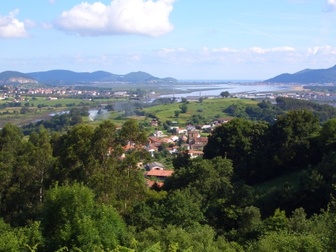
foto1
The village of Carasa, with the estuary of Treto behind
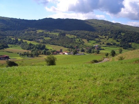
foto2
The Sierra of Breñas

foto 3
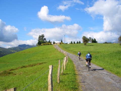
We climb towards the height of Bermilla
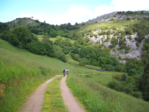
foto 4
  We leave the pass of Campolayal behind
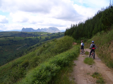
foto5
  We cycle in the Sierra of Sel.
In the background, San Vicente peak
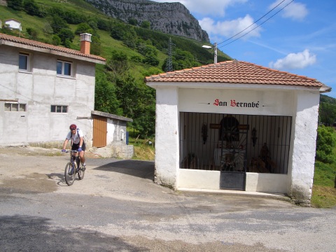
foto 6
The hermitage of St. Bernabé in La Alcomba
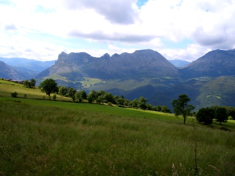
foto 7
Peak San Vicente, to the left

foto 8
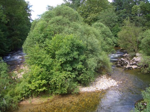
We cross river Asón in Lastras

foto 10
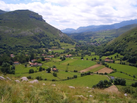
The valley of Matienzo

foto10
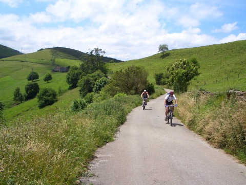
We cycle on the ridge that divides the valleys of Voto and Solórzano
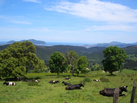
foto 11
A few cows resting with the views of mount Buciero and Laredo
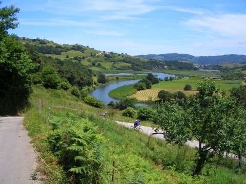
foto11
The estuary of Rada,  near the end of the route

Downloads

To open the route in Google Earth click on the 'KMZ' link and select 'Open with Goole Earth' (requires prior installation of Google Earth). To download a route, right-click on the link and select 'save link as' or a similar option.

Instructions

See the instructions and disclaimer, as well as other routes, in the main page.