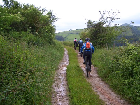
Going up to Colombres
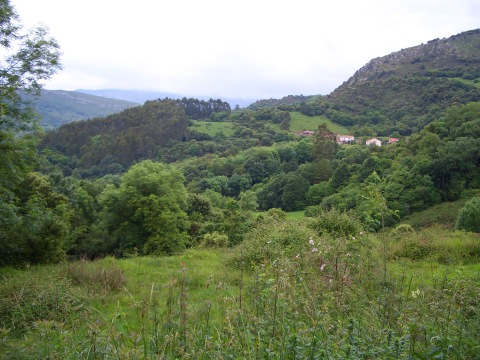
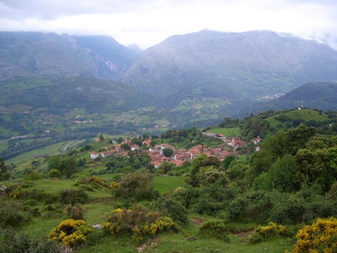
The asturian village of Andinas
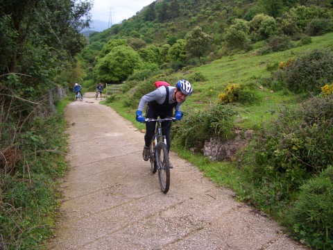
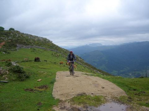
The hard ascent to Sierra of Cuera
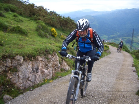
The ascent
Alevia, with the gorge of Hermida behind
The crest of the sierra
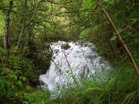
A waterfall in Sierra of Cuera
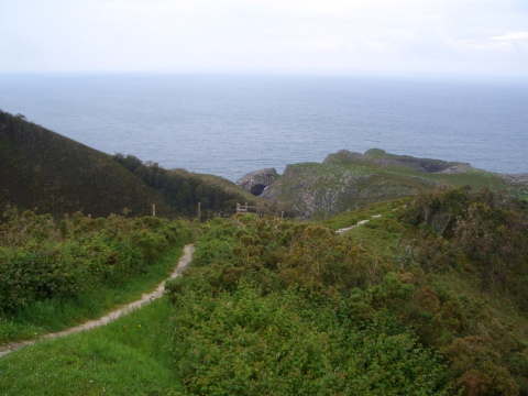
The Cantabrian Sea in Pimiango
| Kilometers/Miles |
35 / 22 |
| Cumulative ascent: meters/feet |
1021 / 3349 |
| Maximum height: meters/feet |
547 / 1794 |
| Duration |
4 hours |
| Beginning and end location |
Unquera |
| Difficulty |
Medium |
| Month |
June 2008 |
| Recommended period |
All year round |
Going up to Colombres |
The asturian village of Andinas |
The hard ascent to Sierra of Cuera |
The ascent |
Alevia, with the gorge of Hermida behind |
The crest of the sierra |
A waterfall in Sierra of Cuera |
The Cantabrian Sea in Pimiango |