Cantabria by Bike

Soto-Iruz, Castillo Pedroso, Pass of Trascampo

Route 70

By: Javier Tovar, Pedro Ceballos, and Michael González Harbour

Map

Basic Data


Kilometers/Miles
37 / 23
Cumulative ascent: meters/feet
996 / 3267
Maximum height: meters/feet
734 / 2407
Duration
4 hours and a quarter
Beginning and end location
Soto-Iruz
Difficulty
Medium
Month
April 2008
Recommended period
All year round

Profile

Pictures


foto1
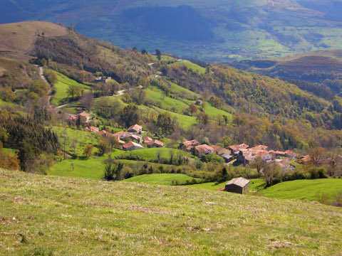
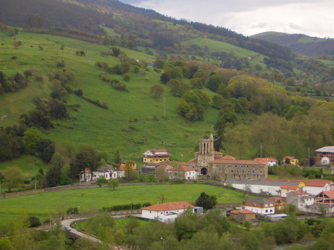
  The mountain village of Castillo Pedroso
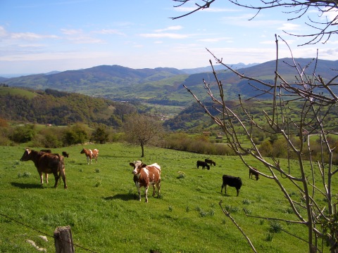
foto2
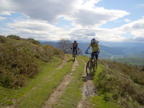
A few cows watch us while climbing towards Torco de la Alisa
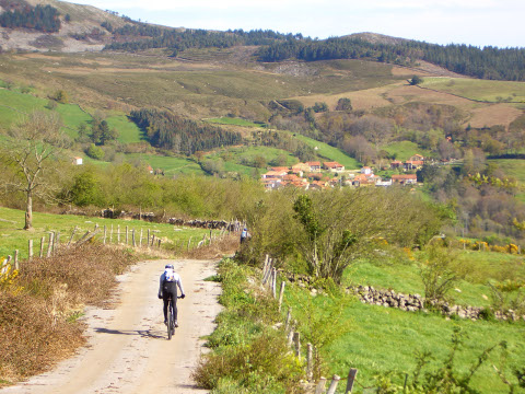
foto 3
We ride close to Quintana de Toranzo

foto 4
Quintana de Toranzo, with the valley of river Pas behind
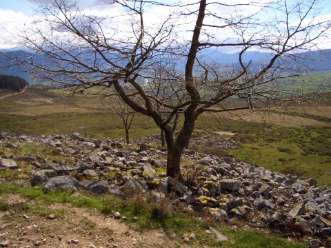
foto5
A lonely tree close to the track

foto 6
Near the end of the ascent

foto 7
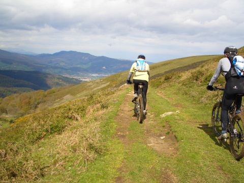
From the ridge we see the valley of Buelna
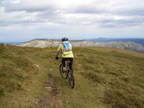
foto 8
The ridge of mount Dobra can be seen in the background
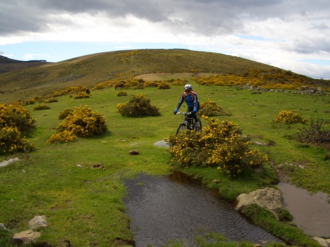
foto9
  We do some cross-country riding

foto 10
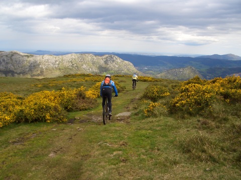
The track goes along bushes full of yellow flowers
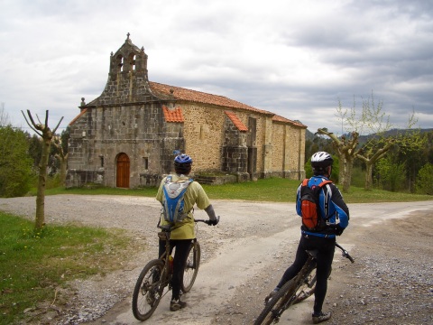
foto 11
The church or Our Lady of Aes

foto 12
The octogonal tower of Soto-Iruz (XVI century)

Downloads

To open the route in Google Earth click on the 'KMZ' link and select 'Open with Goole Earth' (requires prior installation of Google Earth). To download a route, right-click on the link and select 'save link as' or a similar option.

Instructions

See the instructions and disclaimer, as well as other routes, in the main page.