Cantabria by Bike

Entrambasmestas, Guzparras, Pass of la Braguía, Pandacebo

Route 58a

By: Javier Tovar, Pedro Ceballos, and Michael González Harbour

Map

Basic Data


Kilometers/Miles
42 / 26
Cumulative ascent: meters/feet
1196 / 3923
Maximum height: meters/feet
872 / 2860
Duration
4 hours and three quarters
Beginning and end location
Entrambasmestas
Difficulty
Medium
Month
April 2008
Recommended period
All year round

Profiles

Pictures


foto1
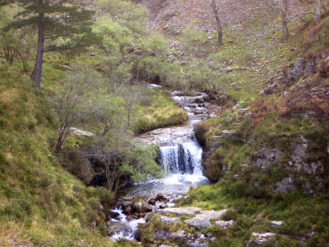
The creek of Millajo, in the ascent to Guzparras
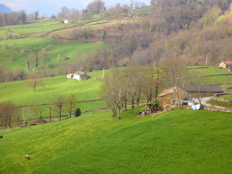
foto2
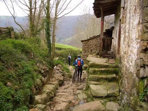
  Cottages in the ascent to the height of la Barrancosa
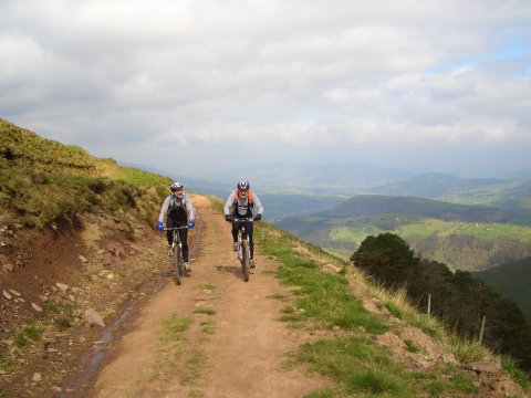
foto 3
We cycle in Mount Garmas

foto 4
  The valley of Carriedo from El Escobal
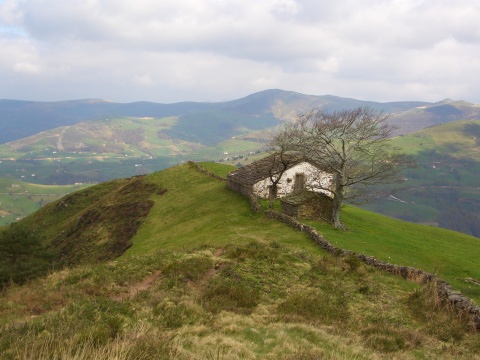
foto5
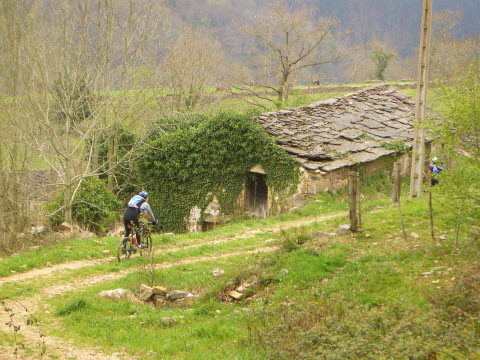
A cottage near El Escobal

foto 6
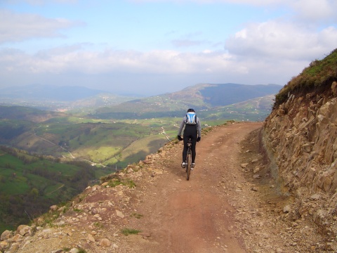
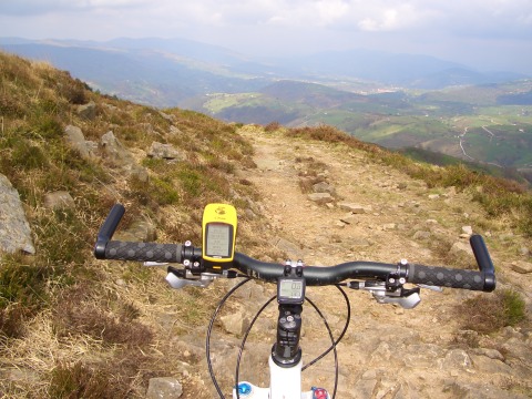
The track near the peak of El Acebo

foto 7
Arriving at Pandacebo
foto 8
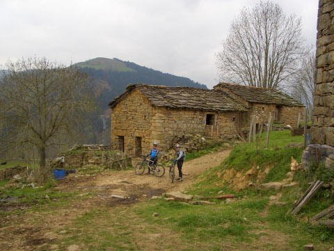
The village of Pandacebo

foto9
  Houses in Pandacebo

foto 10
The start of the trail that goes down from Pandacebo towards the valley
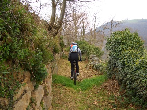
foto 11
The trail, leaving Pandacebo

foto 12
The trail passes by the Hermitage of La Gurueba

Downloads

To open the route in Google Earth click on the 'KMZ' link and select 'Open with Goole Earth' (requires prior installation of Google Earth). To download a route, right-click on the link and select 'save link as' or a similar option.

Instructions

See the instructions and disclaimer, as well as other routes, in the main page.