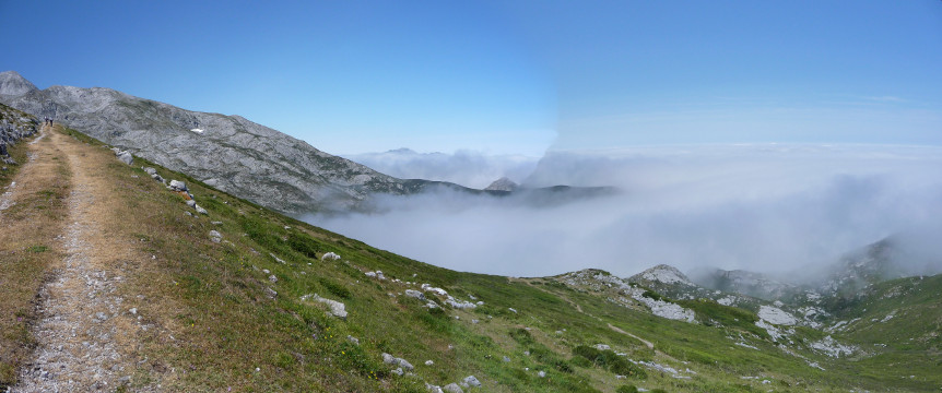
The path on the slope of Pica del Mancondiú

| Kilometers/Miles |
44 / 27 |
| Cumulative ascent: meters/feet |
1925 / 6314 |
| Maximum height: meters/feet |
1819 / 5966 |
| Duration |
6 hours and a quarter |
| Beginning and end location |
La Hermida |
| Difficulty |
High |
| Month |
August 2007 and July 2015 |
| Recommended period |
Summer |
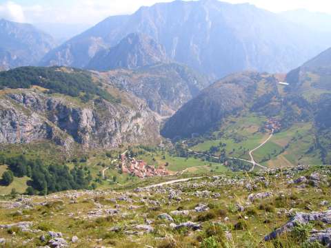 View of the village of Bejes during the ascent to "Saltu La Cabra" |
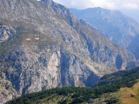 The track from Urdón to Tresviso, as seen from "Saltu La Cabra" |
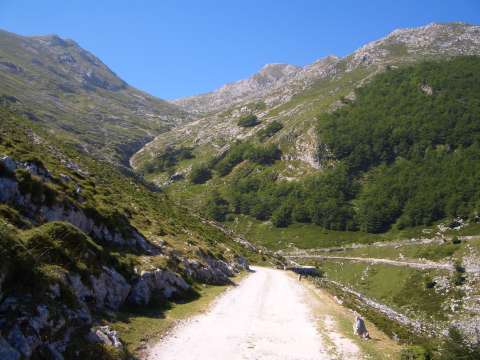 The creek of Los Lobos (the wolves) |
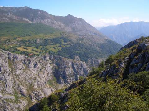 Tresviso from the other side of the Canyon of Urdón |
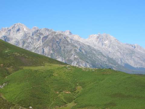 The Central Massif of the Picos de Europa as seen from the pass of Jito de Escarandi |
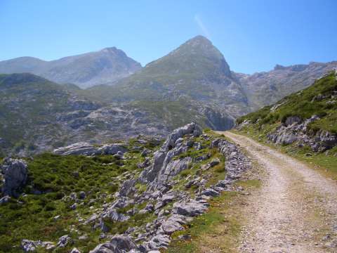 The peak of Mancondiú from the ascent to Ándara |
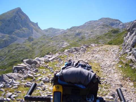 The ascent to the refuge of Ándara has some complicated sections, because of the loose stones |
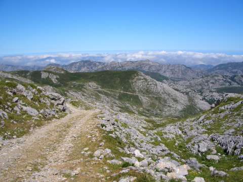 Looking back to the track by which we are ascending to the refuge of Ándara |
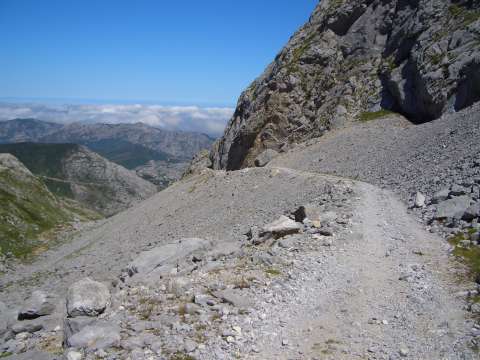 The track that goes around the peak of Mancondiú |
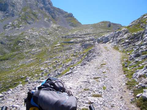 The ascent to Vegas de Ándara |
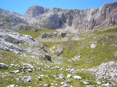 Vegas de Ándara |
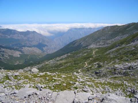 The return track to the creek of los Lobos |
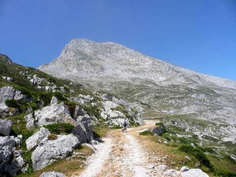 Mount Pica del Mancondiú rises majestically out of the fog |
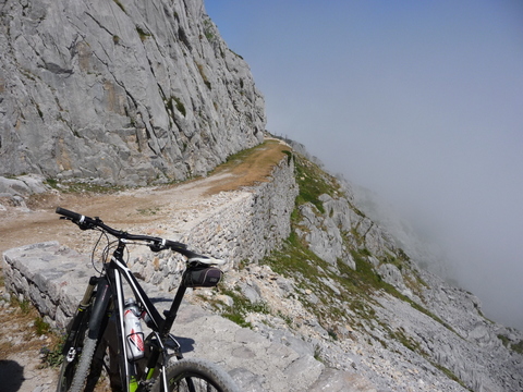 The track that surrounds mount Pica del Mancondiú |
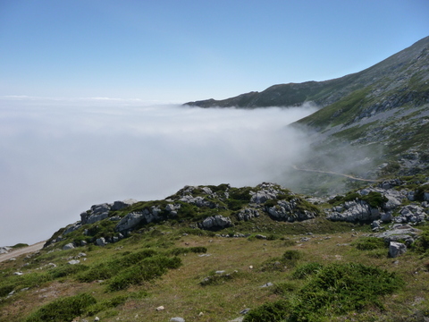 A spectacular sea of fog |
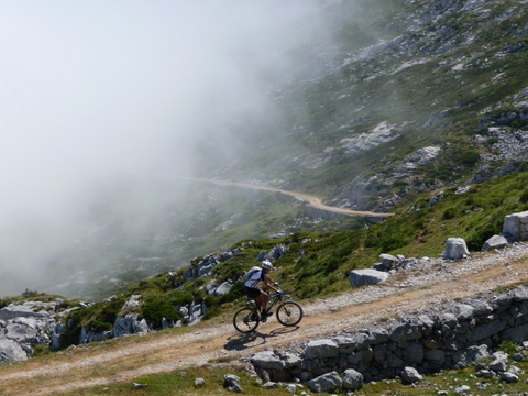 We climb towards las Vegas de Ándara |
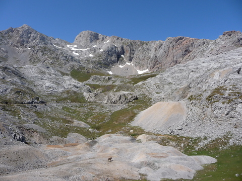 Las Vegas de Ándara |
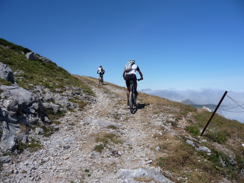 The path to Casetón de Ándara |
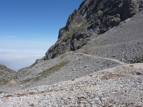 A look back on the trail |
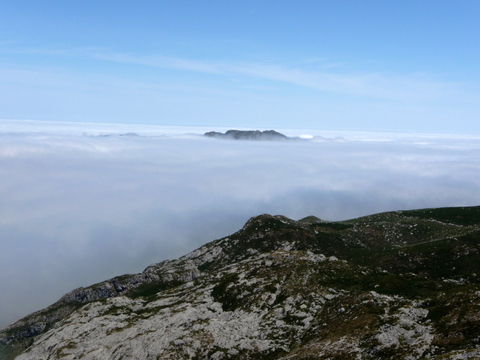 Sea of fog |