Cantabria by Bike

Bárcena de Pie de Concha, Pass of Pagüenzo, Reinosa, Alsa Dam

Route 44

By: Javier Tovar, Pedro Ceballos, and Michael González Harbour


Map

Basic Data


Kilometers/Miles
53 / 33
Cumulative ascent: meters/feet
1479 / 4851
Maximum height: meters/feet
1192 / 3910
Duration
5 hours and three quarters
Beginning and end location
Bárcena de Pie de Concha
Difficulty
High
Month
July 2007
Recommended period
Spring, Summer, Autum

Profile

Pictures


foto1
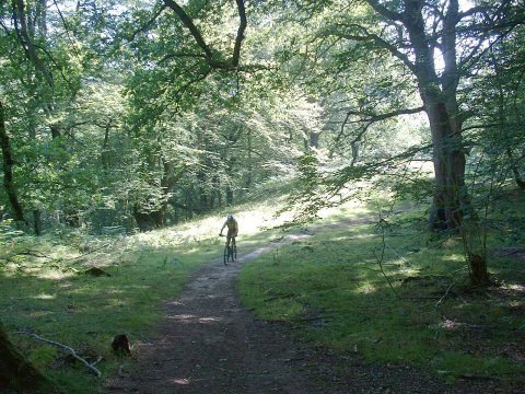
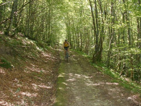
  The ascent from Bárcena de Pie de Concha to the pass of
Pagüenzo goes through a thick forest

foto2
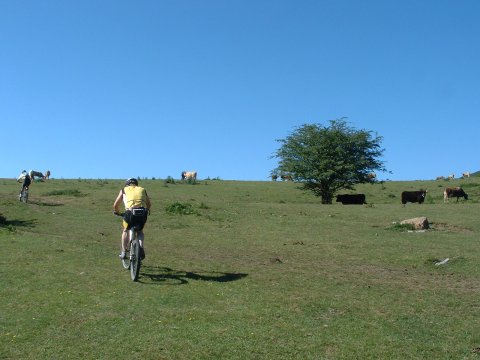
  At the end of the forest we reach a pasture

foto 3
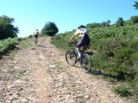
  The last ramps ascending to the pass of Pagüenzo
foto 4
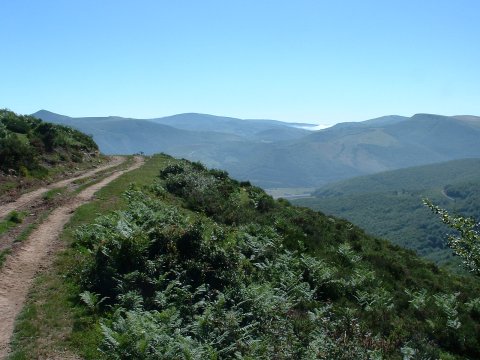
  View of the valley of river Besaya from the pass of Pagüenzo

foto5
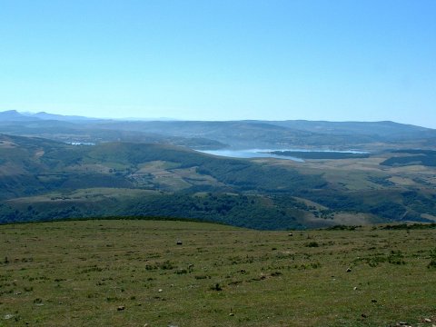
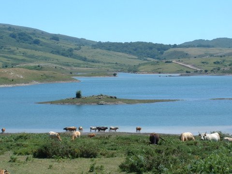
As we approach Reinosa we have magnificent views of the
Ebro reservoir

foto 6
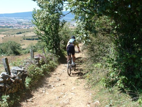
Having fun in the descent from Aradillos to Fresno del Río
foto 7
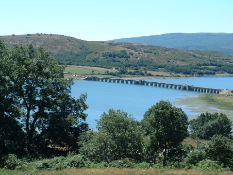
The reservoir of river Ebro
foto 8
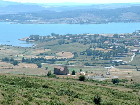
As we ascend towards the pass in Campo Alto we can see the Church
of  Nuestra Señora de las Nieves, with the reservoir of river Ebro
in the background

foto 9
The descent to San Miguel de Aguayo
through a green corridor
foto 10
Alsa Dam

Downloads

To open the route in Google Earth click on the 'KMZ' link and select 'Open with Goole Earth' (requires prior installation of Google Earth). To download a route, right-click on the link and select 'save link as' or a similar option.

Instructions

See the instructions and disclaimer, as well as other routes, in the main page.