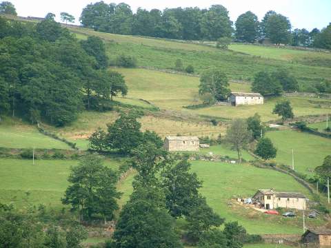
Pasiego cottages in La Sota
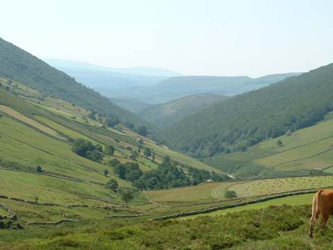
The province of Burgos seen through the valley of river Nela
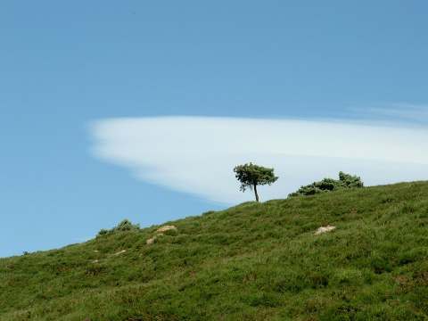
The strong southerly wind produces lenticular clouds over the sierra
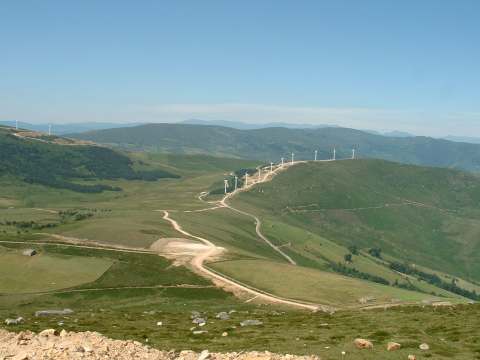
The wind farm of La Peñuca
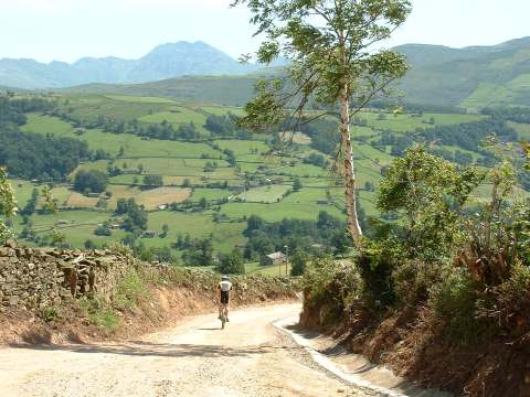
The track from San Pedro del Romeral to Bustaleguín,
with the peak Castro Valnera in the background
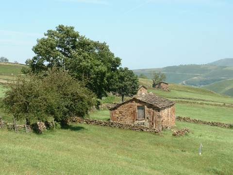
The cottages integrate into the beauty of the landscape
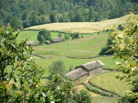
The vertical landscape of the Pasiego valleys
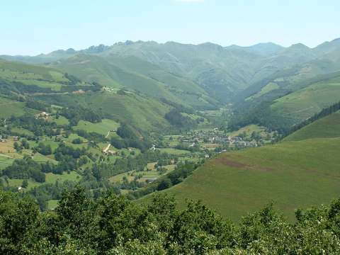
The village of Vega de Pas, almost completely
surrounded by mountains