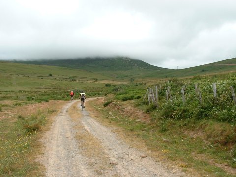
Ascent to the pass of Somahoz, which communicates Valdeolea with Campoo
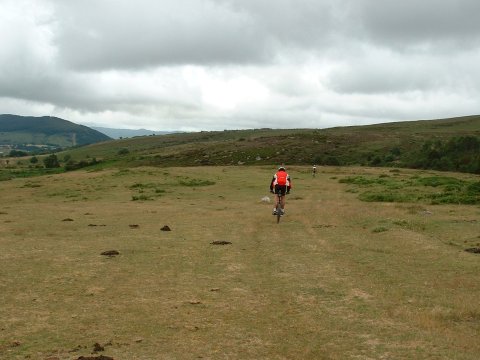
The route has off-track segments
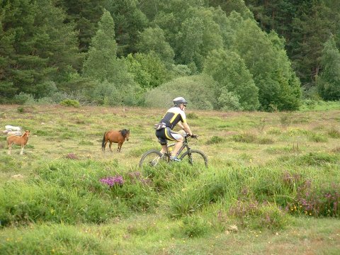
We encounter some horses
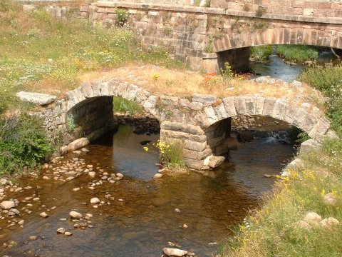
The roman bridge near Reinosilla
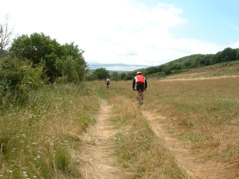
The return path towards Casasola
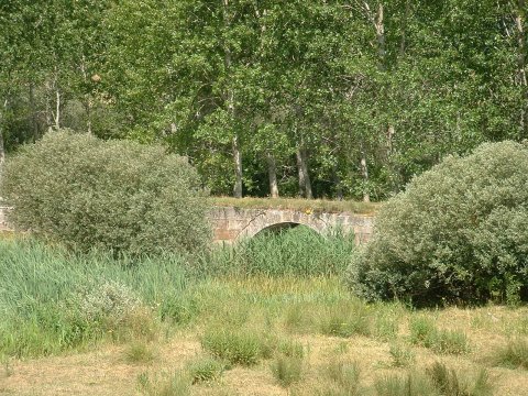
Roman bridge and road, near Casasola
| Kilometers/Miles |
35 / 22 |
| Cumulative ascent: meters/feet |
610 / 2001 |
| Maximum height: meters/feet |
1242 / 4073 |
| Duration |
3 hours |
| Beginning and end location |
Mataporquera |
| Difficulty |
Low |
| Month |
July 2007 |
| Recommended period |
Spring, summer, autum |
 Ascent to the pass of Somahoz, which communicates Valdeolea with Campoo |
 The route has off-track segments |
 We encounter some horses |
 The roman bridge near Reinosilla |
 The return path towards Casasola |
 Roman bridge and road, near Casasola |