Cantabria by Bike

Tama, Tudes, Height of Juan Solano, Piasca

Route 40

By: Javier Tovar, Pedro Ceballos, and Michael González Harbour

Map

Basic Data

Kilometers/Miles
36 / 22
Cumulative ascent: meters/feet
1177 / 3860
Maximum height: meters/feet
1189 / 3900
Duration
4 hours and 3 quarters
Beginning and end location
Tama
Difficulty
High
Month
June 2007
Recommended period
All year round

Profile

Pictures


foto1
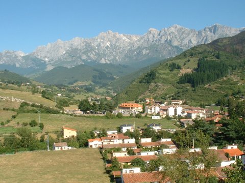
 In the beginning of the PR-S6 trail  we can see Potes
with the Picos de Europa in the background
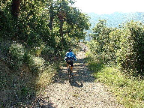
foto2
  The trail goes up thought the beautiful forest of cork oaks of Tolibes 
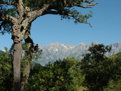
foto 3
The Picos de Europa framed within a cork oak that stands by the trail
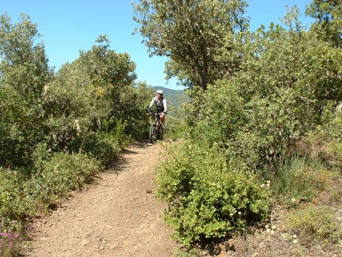
foto 4
  The trail used to be part of the pilgrim way from
León to Santo Toribio de Liébana
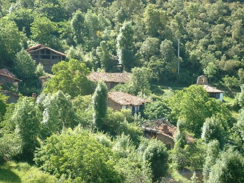
foto5
The abandoned village of Porcieda

foto 6
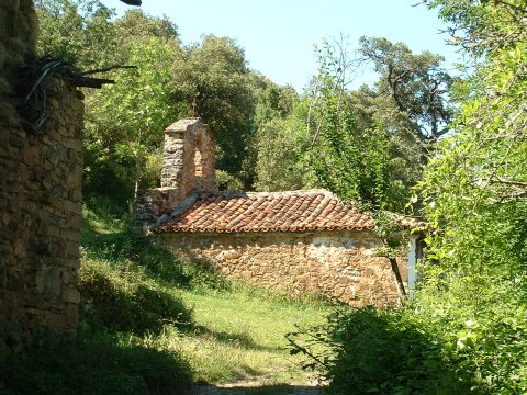
The hermitage of Santiago de Porcieda
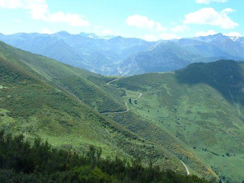
foto 7
The trail by which we have climbed from Tudes
to the height of Juan Solano. In the background, at the other side
of the valley, is the village of Cucayo
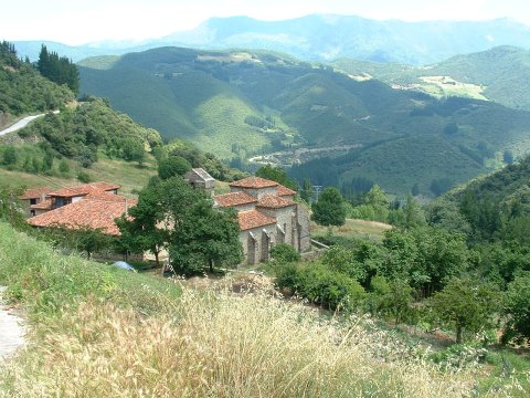
foto 8
The romanesque church of Santa María la Real in Piasca leans out
  looking at the valley of river Bullón

Downloads

To open the route in Google Earth click on the 'KMZ' link and select 'Open with Goole Earth' (requires prior installation of Google Earth). To download a route, right-click on the link and select 'save link as' or a similar option.

Instructions

See the instructions and disclaimer, as well as other routes, in the main page.