Cantabria by Bike

Salces, pass of Rumaceo, Ropero peak

Route 38

By: Javier Tovar, Pedro Ceballos, and Michael González Harbour

Map

Basic Data

Kilometers/Miles
47 / 29
Cumulative ascent: meters/feet
1292 / 4238
Maximum height: meters/feet
1692 / 5550
Duration
5 hours
Beginning and end location
Salces
Difficulty
High
Month
June 2007
Recommended period
Summer

Profile

Pictures


foto1
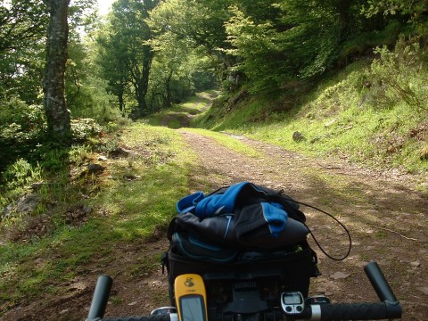
The first part of the ascent is through an oak forest
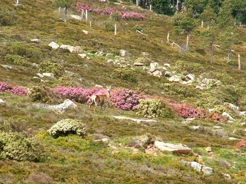
foto2
  A deer watches us in alert position,
close to a bush that is covered with pink flowers
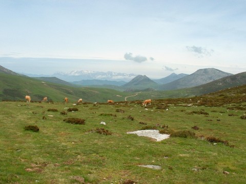
foto 3
A view of Sejos from the pass of Rumaceo,
with the Picos de Europa in the background
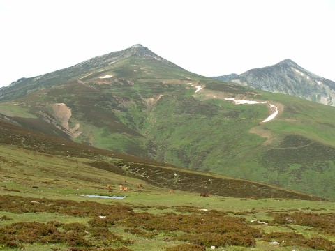
foto 4
  The massif of Cordel as seen from Rumaceo. There is still a little snow left
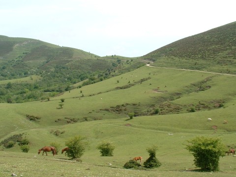
foto5
The pass of Cruz de Fuentes
as seen during the ascent from Palombera
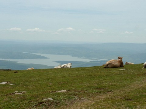
foto 6
A few cows share with us the magnificent view
of the Campoo valley from the top of the Ropero peak

Downloads

To open the route in Google Earth click on the 'KMZ' link and select 'Open with Goole Earth' (requires prior installation of Google Earth). To download a route, right-click on the link and select 'save link as' or a similar option.

Instructions

See the instructions and disclaimer, as well as other routes, in the main page.