Cantabria by Bike

Roiz, Cave of El Soplao, Celis

Route 34

By: Javier Tovar, Pedro Ceballos, and Michael González Harbour


Map

Basic Data


Kilometers/Miles
36 / 22
Cumulative ascent: meters/feet
1147 / 3763
Maximum height: meters/feet
651 / 2135
Duration
3 and a half hours
Beginning and end location
Roiz
Difficulty
Medium
Month
April 2007
Recommended period
All year round

Profile

Pictures


foto1
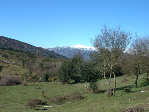
View from the surroundings of the
Cueva del Soplao
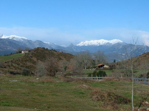
foto2
The mountain range Sierra de Cuera, in the background
to the right, separates the Picos de Europa
from the Cantabrian sea
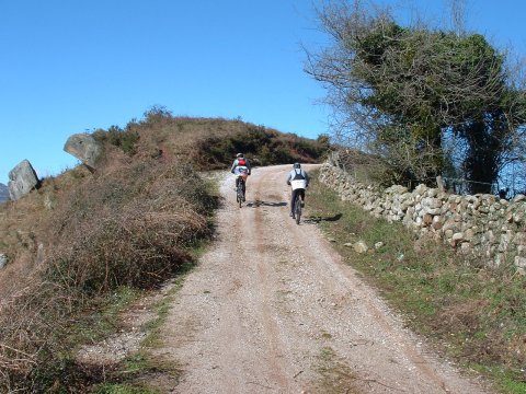
foto 3
Ascent to Peak Hugón, near the cave of El Soplao
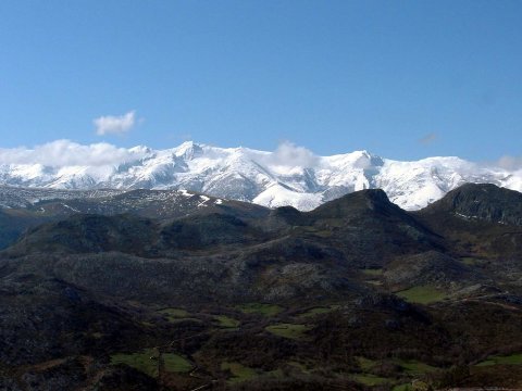
foto 4
An impressive view of the massif of Peña Sagra
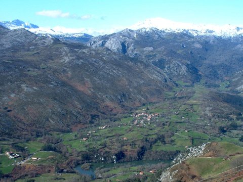
foto5
The reservoir of Palombera, below
in front of the village of Riclones
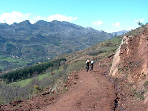
foto 6
The descent to Celis is through a steep mud track

Downloads

To open the route in Google Earth click on the 'KMZ' link and select 'Open with Goole Earth' (requires prior installation of Google Earth). To download a route, right-click on the link and select 'save link as' or a similar option.

Instructions

See the instructions and disclaimer, as well as other routes, in the main page.