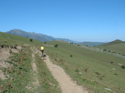
Arriving at the pass of la Jazona
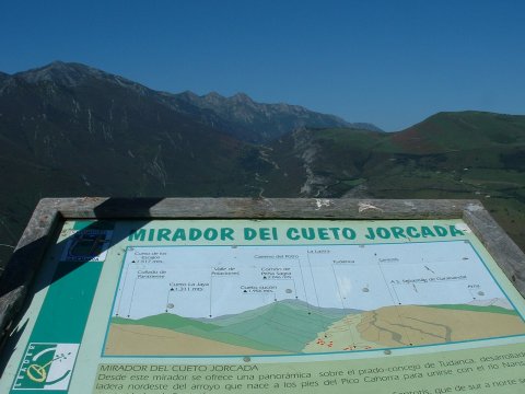
A viewpoint in the descent to Tudanca
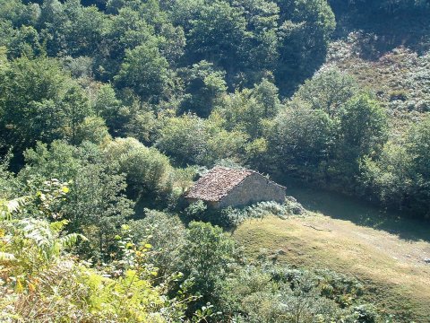
A cottage in the valley of river Nansa
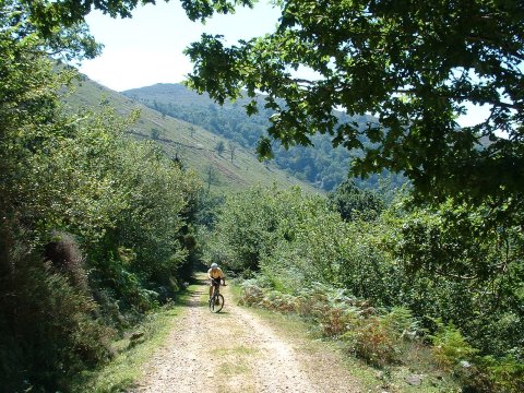
The ascent to Zarceillo has steep sections
| Kilometers/Miles |
44 / 27 |
| Cumulative ascent: meters/feet |
1486 / 4874 |
| Maximum height |
1110 / 3640 |
| Duration |
5 hours |
| Beginning and end location |
Renedo de Cabuérniga |
| Difficulty |
High |
| Month |
September 2006 |
| Recommended period |
Spring, summer, autum |
Arriving at the pass of la Jazona |
A viewpoint in the descent to Tudanca |
A cottage in the valley of river Nansa |
The ascent to Zarceillo has steep sections |