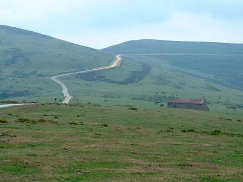
The Eremite of el Moral
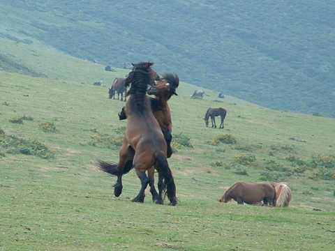
Two horses fight for the mares
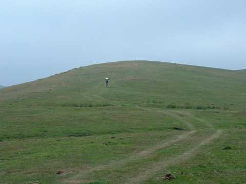
The trail towards Viaña
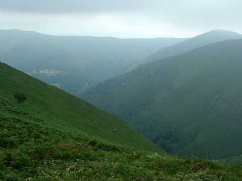
The descent to Viaña
| Kilometers/Miles |
38 / 24 |
| Cumulative ascent: meters/feet |
946 / 3102 |
| Maximum height |
1018 / 3339 |
| Duration |
3 and a half hours |
| Beginning and end location |
Selores |
| Difficulty |
Medium |
| Month |
July 2006 and May 2009 |
| Recommended period |
Spring, summer, autum |
 The Eremite of el Moral |
 Two horses fight for the mares |
 The trail towards Viaña |
 The descent to Viaña |
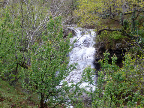 Waterfall in Juzmeana Creek |
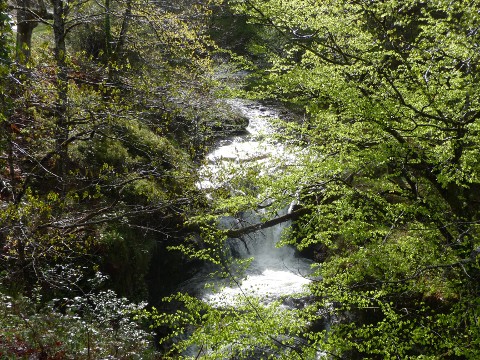 The tree leaves are sprouting |
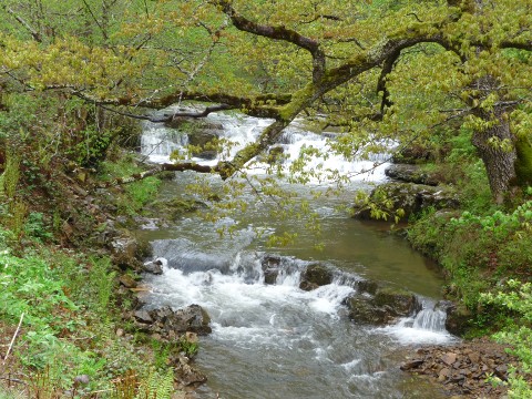 The creek crosses a forest |
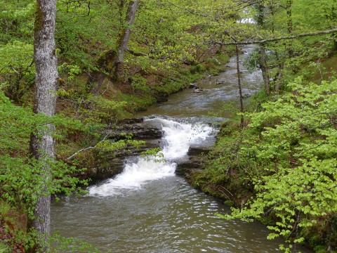 The track goes near the creek |
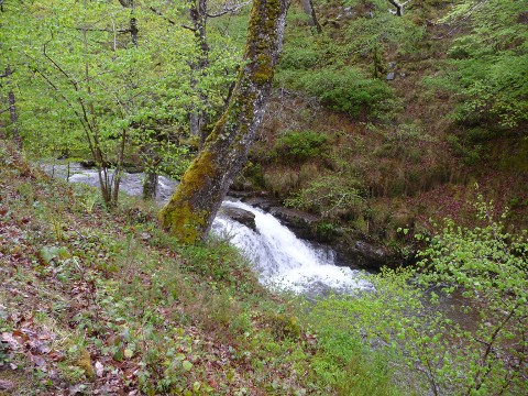 Some waterfalls are small |
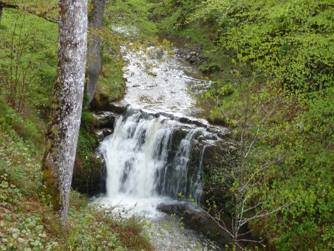 Others are larger |
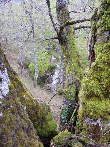 A waterfall between the branches of a V-shaped tree |
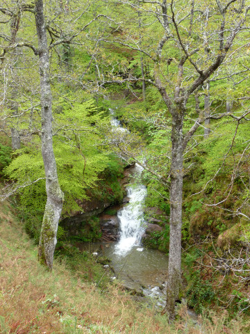 Juzmeana creek is a beatiful part of the forest |