Cantabria by Bike

Oyambre, Monte Corona, Cabezón de la Sal

Route 04

By: Javier Tovar, Pedro Ceballos, and Michael González Harbour

Map

Basic Data


Kilometers/Miles
31 / 19
Cumulative ascent: meters/feet
491 / 1610
Maximum height
273 / 895
Duration
2 hours
Beginning and end location
Oyambre
Difficulty
Low
Month
April 2006
Recommended period
All year round

Profile

Pictures


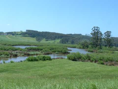
foto1
The marsh of the estuary of La Rabia
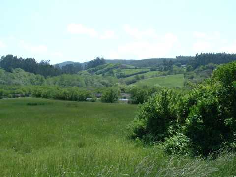
foto2
Another view of the mash

Downloads

To open the route in Google Earth click on the 'KMZ' link and select 'Open with Goole Earth' (requires prior installation of Google Earth). To download a route, right-click on the link and select 'save link as' opción similar.

Instructions

See the instructions and disclaimer, as well as other routes, in the main page.