Home Page
© 2006-2012: Javier Tovar, Pedro Ceballos, and Michael González Harbour
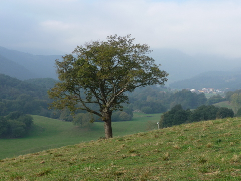
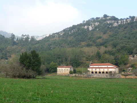
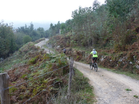
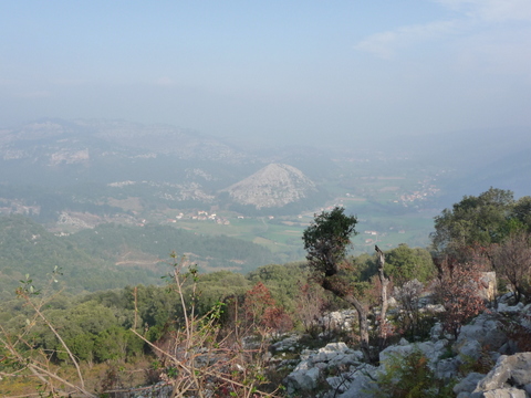
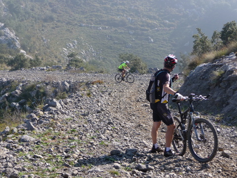
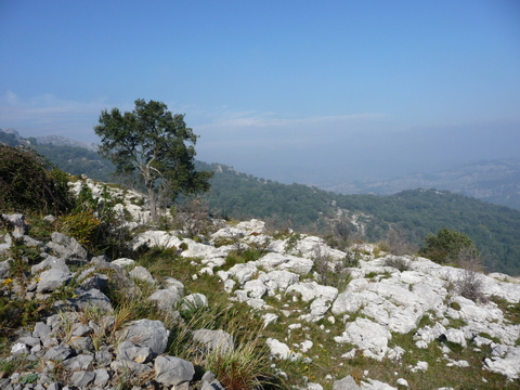
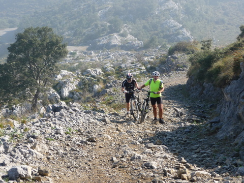
Cubillos de la Muela Llana
| Distance (km) | 41 |
| Cummulative ascent (m) | 1134 |
| Maximum height (m) | 626 |
| Total time | 3:50 |
| Time moving | 3:50 |
| Start and end location | Hazas de Cesto |
| Difficulty | High |
| Date | Oct 2014 |
| Recommended season | All year round |