Pictures
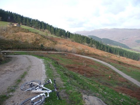
Ascent to the pass of Barcenillas
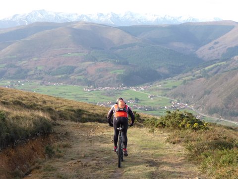
Descent to Barcenillas
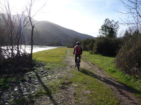
River Saja
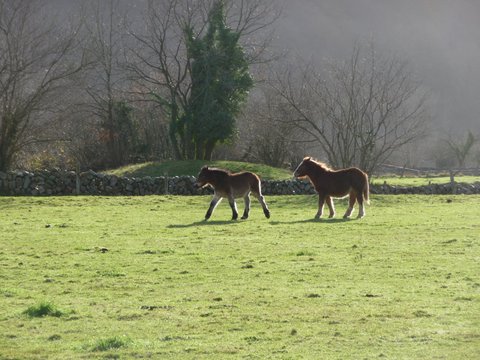
Horses in Cabuérniga
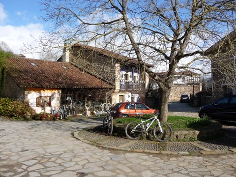
Selores
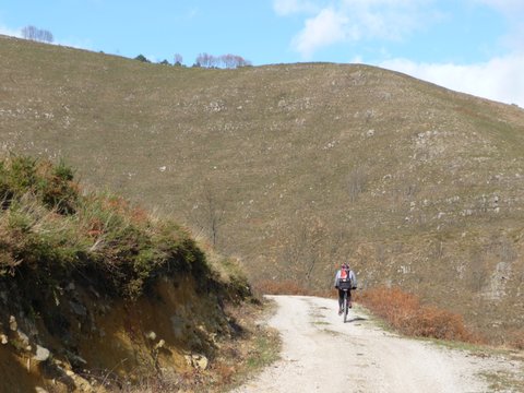
The hard ascent to Cueto Negreo
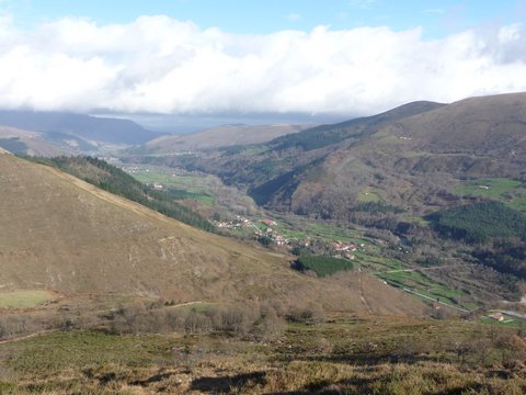
We leave the valley behind
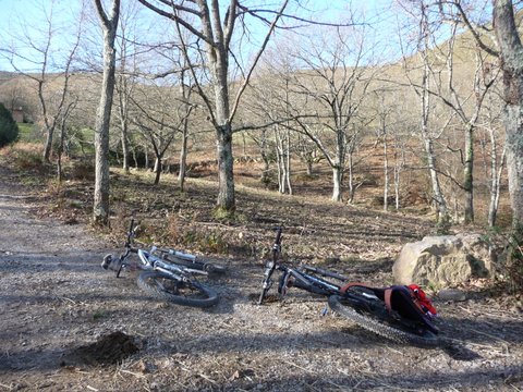
Small forest in La Canal de Moscadoiro
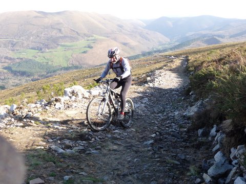
The track is less steep towards the end
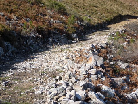
There are a few rocky sections
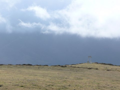
Clouds suround the top
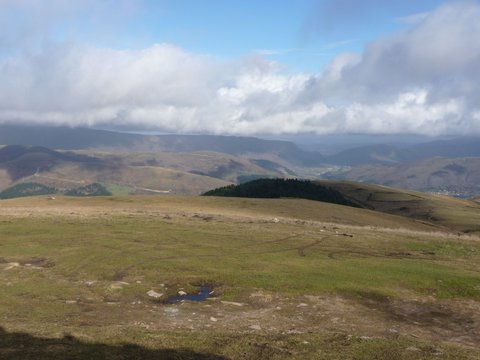
View towards the massif of El Escudo
Downloads
To open the route in Google Earth click on the 'KMZ' link and
select 'Open with Goole Earth' (requires prior installation of
Google Earth). To download a route, right-click on the link
and select 'save link as' or a similar option.


