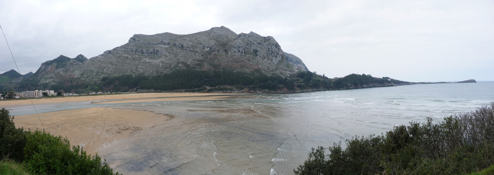
Oriñón beach, with Mount Candina behind
| Kilometers/Miles |
26 / 16 |
| Cumulative ascent: meters/feet |
852 / 2794 |
| Maximum height: meters/feet |
585 / 1919 |
| Total duration |
3 and a half hours |
| Time moving |
2:47 |
| Beginning and end location |
Rioseco (Guriezo) |
| Difficulty |
Low |
| Month |
March 2011 |
| Recommended period |
All year round |
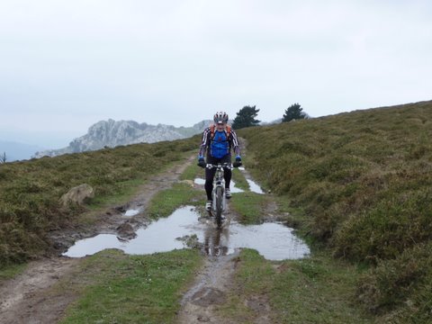
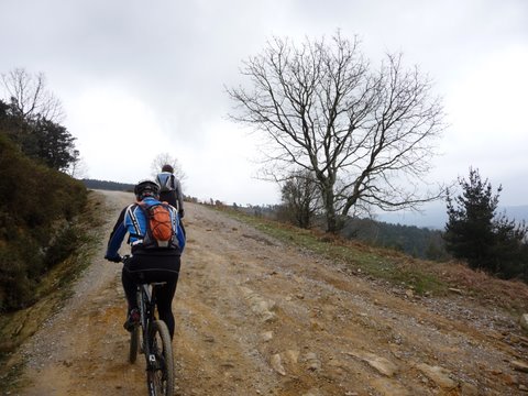 The ascent by the trail of Mount Cerredo |
 Near the top |
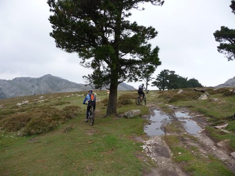
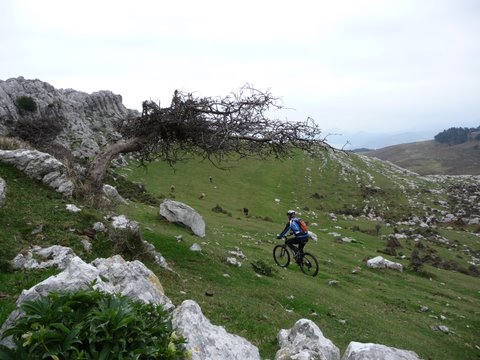
 We climb the last few meters cycling on the grass |
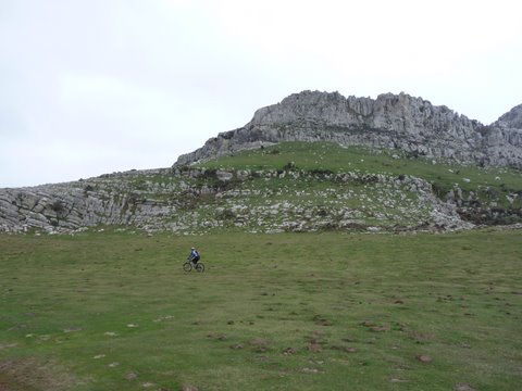
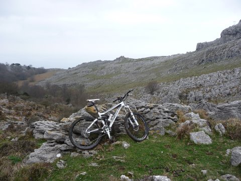 The terrain gets very rocky so we cannont continue cycling |
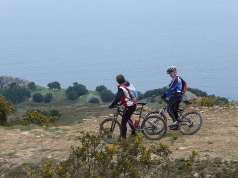
 We get close to a vantage point over the coast |
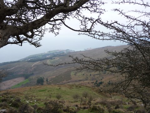 We can see Castro Urdiales from the top |
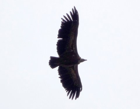 A vulture from the nearby colony of Oriñón |
 We begin the return |
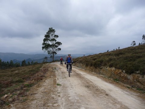 We take the trail that goes down
to Cerdigo
|
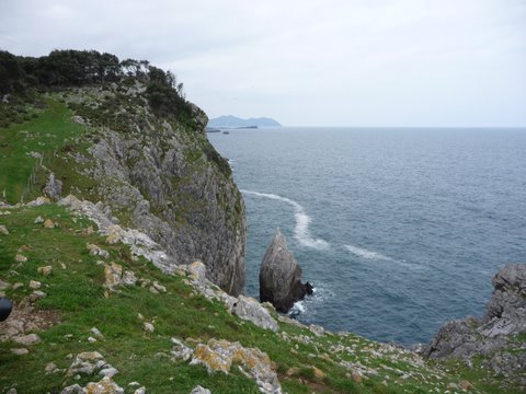
 From the trail we get nice views of the coast |
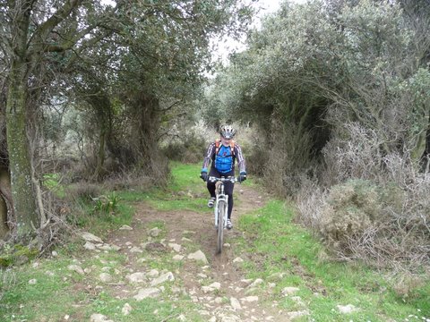 As we approach the coast we pass through a grove of oaks |
 The coast near Islares |