Cantabria by Bike

Circuit in the valley of river Nansa, from Camijanes

Route 115

By: Javier Tovar, Pedro Ceballos, y Michael González Harbour

Map

Basic Data


Kilometers/Miles
40 / 25
Cumulative ascent: meters/feet
1059 / 3473
Maximum height: meters/feet
482 / 1581
Total time
4 hours and a quarter
Time moving
3:22
Beginning and end location
Camijanes
Difficulty
Medium
Month
January 2011
Recommended period
All year round

Profile

Pictures


foto 1
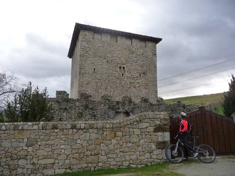
  The Medieval Tower of Cabanzón (XII-XIV ad)
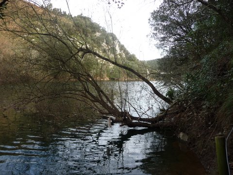
foto2
The surroundings of the Cave of Chufín
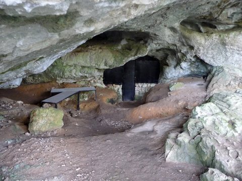
foto 3
The entrance to the Cave of Chufín

foto 4
  The small village of La Molina

foto5
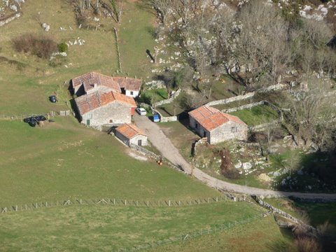
La Molina, as seen from the track

foto 6
  We climb up to Trespeñas, with the reservoir of Palombera to the right
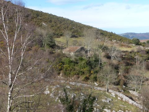
foto 7
  A cottage in Trespeñas

foto 8
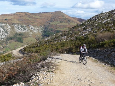
The ascent through the track

foto 9
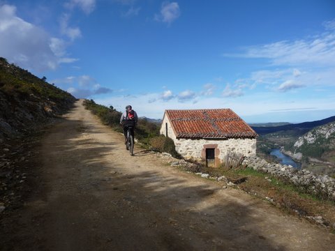
A cottage with the traditional architecture of the Nansa Valley
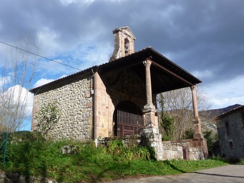
foto 10
The Hermitage of St. Anthony, in Riclones


Downloads

To open the route in Google Earth click on the 'KMZ' link and select 'Open with Goole Earth' (requires prior installation of Google Earth). To download a route, right-click on the link and select 'save link as' or a similar option.

Instructions

See the instructions and disclaimer, as well as other routes, in the main page.