Cantabria by Bike

Tour in the valley of Buelna

Route 114

By: Michael González Harbour

Map

Basic Data


Kilometers/Miles
27 / 17
Cumulative ascent: meters/feet
894 / 2932
Maximum height: meters/feet
591 / 1938
Total time
3 hours and three quarters
Time moving
2:52
Beginning and end location
Los Corrales de Buelna
Difficulty
Medium
Month
December 2010
Recommended period
All year round

Profile

Pictures


foto 1
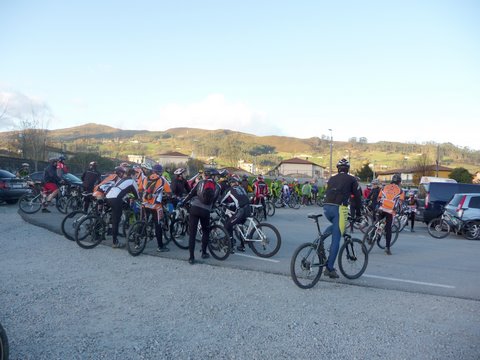
  The start at Los Corrales de Buelna

foto2
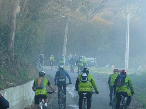
  We start our climb inside a cloud of apparent fog

foto 3
  The ascent to Cueto Espina

foto 4
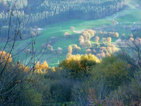
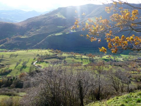
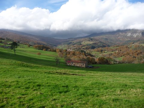
Although most leaves have already fallen off the trees,
the Autum still shows some of its colours

foto5
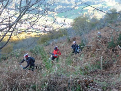
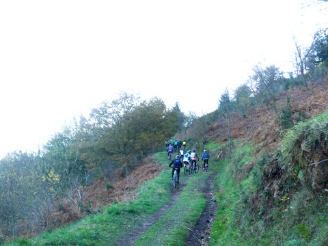
We walk along a very narrow footpath

foto 6
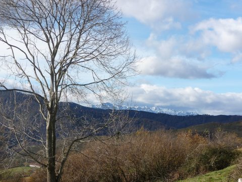
  The massif of Picos de Europa as seen from peak Gedo

foto 7
  The valley of Cieza

foto 8
We continue up towards El Páramo

foto 9
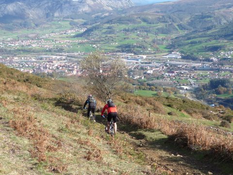
It seems that Los Corrales is at the reach of the hand

foto 10
  The view towards the village of Coo


Downloads

To open the route in Google Earth click on the 'KMZ' link and select 'Open with Goole Earth' (requires prior installation of Google Earth). To download a route, right-click on the link and select 'save link as' or a similar option.

Instructions

See the instructions and disclaimer, as well as other routes, in the main page.