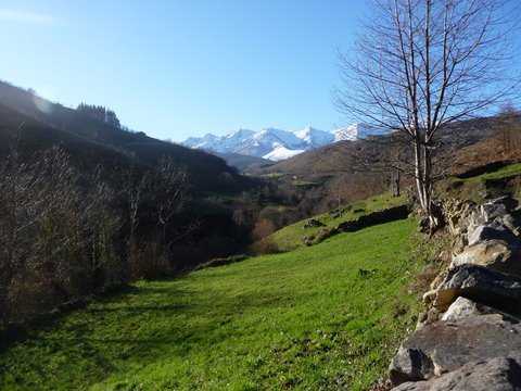
The massif of Peña Sagra is seen behind the valley of river Tanea
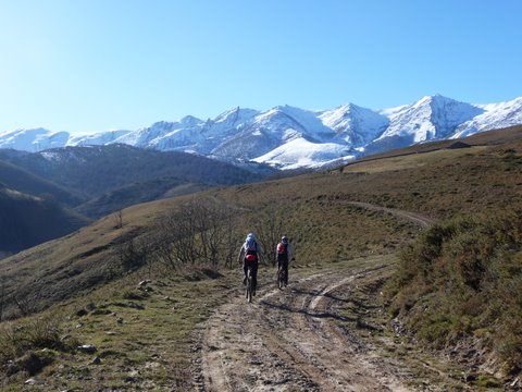
We enjoy wonderful views of Peña Sagra
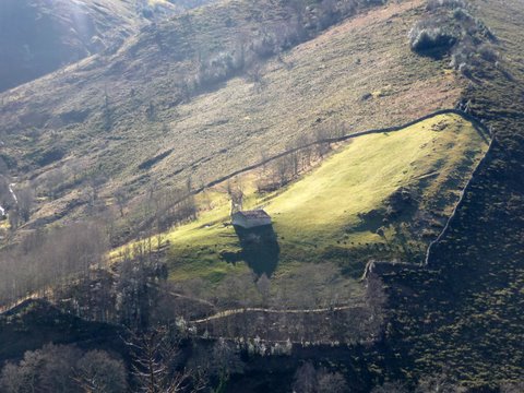
A cattle cottage
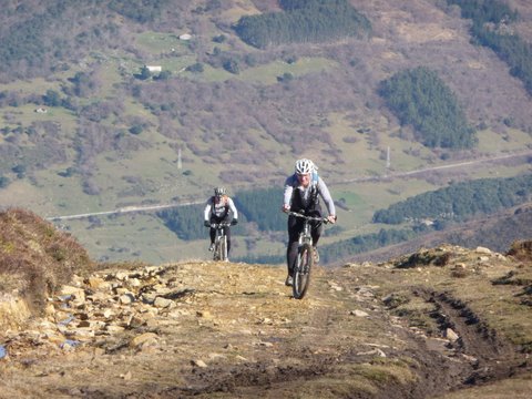
The ascent has some steep ramps
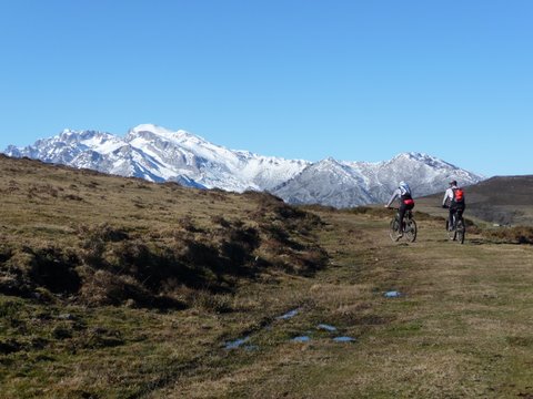
Getting close to the pass of Venta de los Lobos
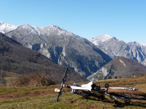
A view of Bolera del Moro as seen from Venta de los Lobos
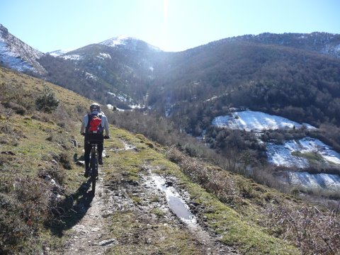
The track near the pass of Carracedo
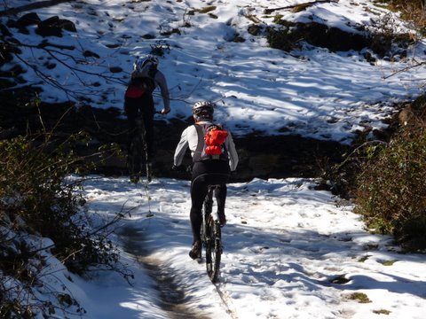
We find some snow in shaded areas
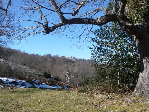
The trees show their winter
colours
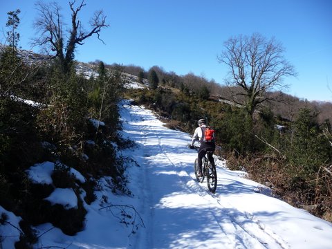
We have to cycle on the snow
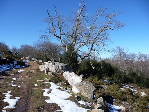
The pass of Arcedón
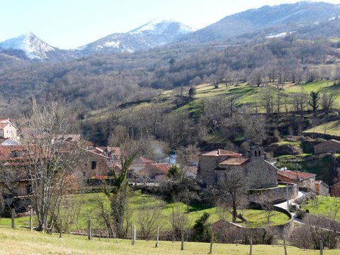
The village of Cicera