Cantabria by Bike

Ruente, Correpoco, Hermitage of El Moral

Route 12a

By: Javier Tovar, Pedro Ceballos, and Michael González Harbour

Map

Basic Data

Kilometers/Miles
46 / 29
Cumulative ascent: meters/feet
1144 / 3752
Maximum height: meters/feet
1008 / 3306
Total time
4 and a half hours
Time moving
3:36 hours
Beginning and end location
Ruente
Difficulty
Medium
Month
November 2009
Recommended period
Spring, summer, autum

Profile

Pictures


foto1
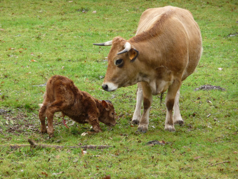
  It is already November but we can still see a calf just born
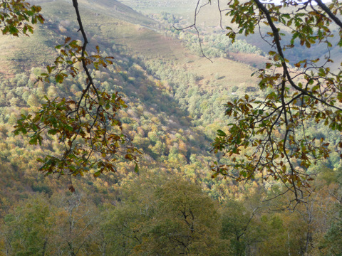
foto2
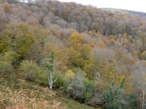
The Autum covers the mountain with colours
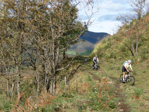
foto 3
The path from Renedo de Cabuérniga to Correpoco
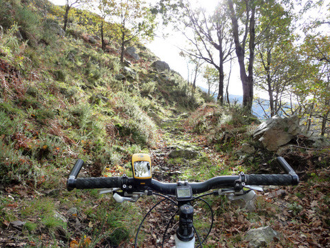
foto 4
The path is quite rocky

foto5
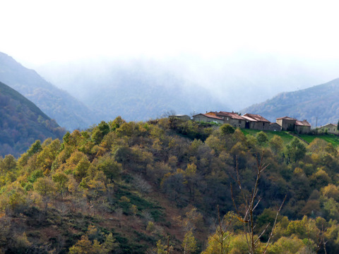
  The village of Colsa, in front of the fog that covers the mountains
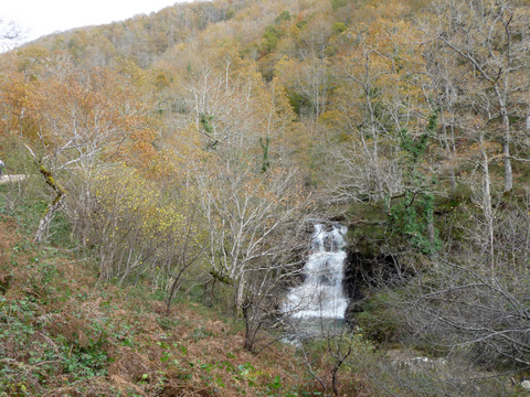
foto 6
One of the waterfalls of Juzmeana creek
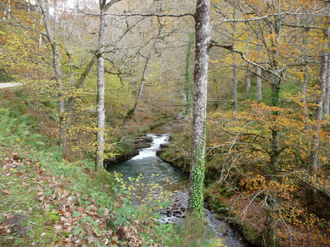
foto 7
The colourful trees suround this small waterfall
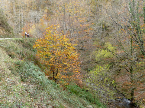
foto 8
Some trees have almost golden leaves

foto 9
In the highest parts, the trees have lost most of their leaves
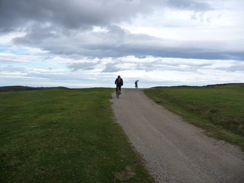
foto 10
The top of the track near the Hermitage of El Moral


Downloads

To open the route in Google Earth click on the 'KMZ' link and select 'Open with Goole Earth' (requires prior installation of Google Earth). To download a route, right-click on the link and select 'save link as' or a similar option.

Instructions

See the instructions and disclaimer, as well as other routes, in the main page.