The Estuary of Ajo, surounded by holm oaks
| Kilometers/Miles |
36 / 22 |
| Cumulative ascent: meters/feet |
685 / 2247 |
| Maximum height: meters/feet |
111 / 364 |
| Total Time |
4 hours and three quarters |
| Time moving |
3:28 |
| Beginning and end location |
San Miguel de Meruelo |
| Difficulty |
Low |
| Month |
October and December 2009 |
| Recommended period |
All year round |
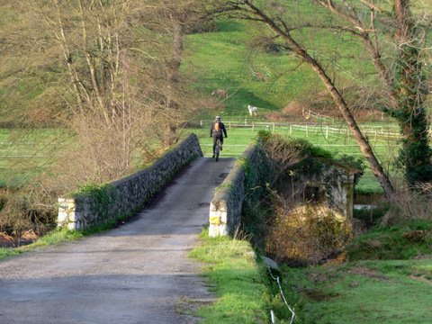 Bridge over river Campiazo in Selorga. Close to it there are the ruins of an old mill |
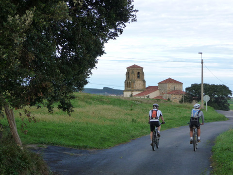 The romanesque church of Santa María de Bareyo |
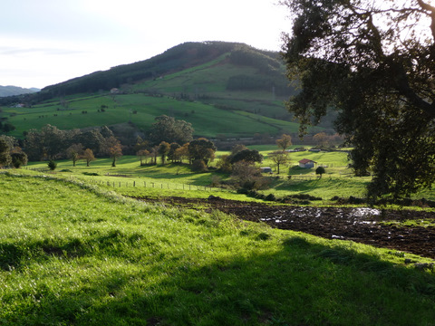 The green grass shines with the morning sun |
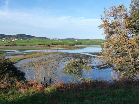 The estuary of Ajo |
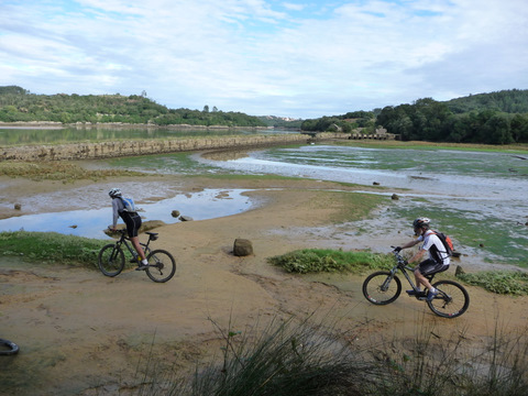 We cycle on the sand |
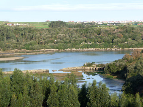 The ruins of an old tidal mill |
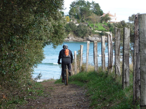 Close to the beach of La Arena there is a footpath |
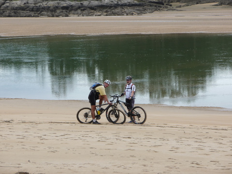 We cycle on the beach |
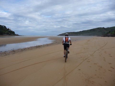 The beach of La Arena
|
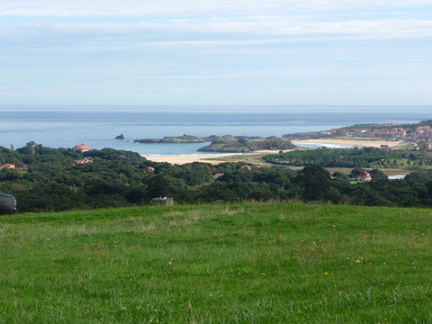 The beaches of Isla and Noja |
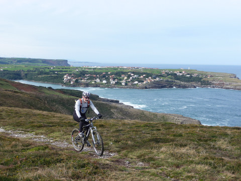 We follow a footpath close to the cliffs |
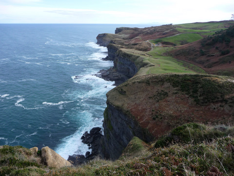 The cliffs of Cape Quejo |
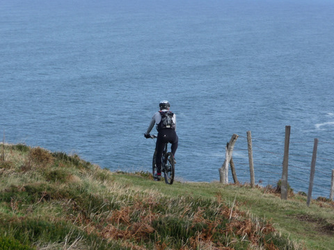 We get magnificent views of the Cantabrian Sea |
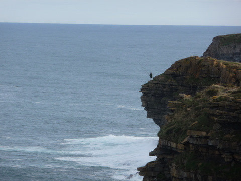 Fishing is a risky activity! |
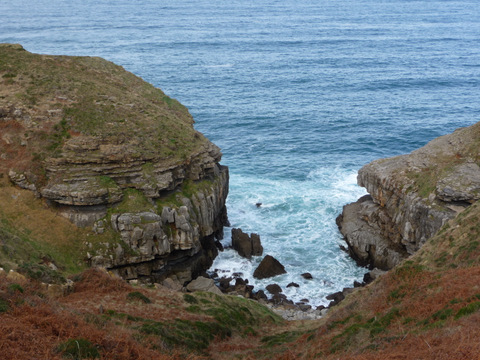 There are small coves |
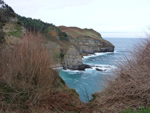 Cape Quejo |
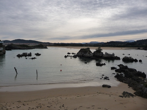 The estuary of Quejo |
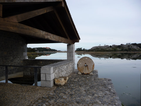 The tidal mill of Santa Olaja |