
The valley of river Troja

| Kilometers/Miles |
35 / 22 |
| Cumulative ascent: meters/feet |
1181 / 3874 |
| Maximum height: meters/feet |
1022 / 3352 |
| Total Tine |
4 hours and a quarter |
| Time moving |
3:17 |
| Beginning and end location |
Entrambasmestas |
| Difficulty |
Medium |
| Month |
December 2009 |
| Recommended period |
Spring, summer, autum |
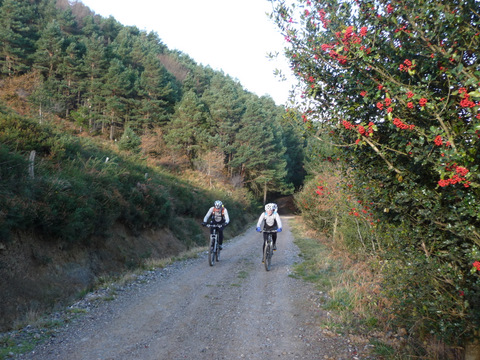 A holly tree covered with berries |
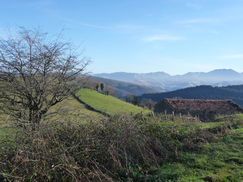 It is a cold and sunny day |
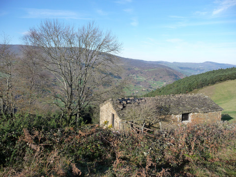 We see many cottages with pasiego architecture |
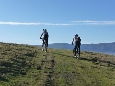 We go cross country for some time |
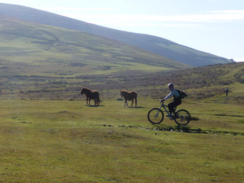 We find some horses that are still in the mountain in December, despite the cold weather |
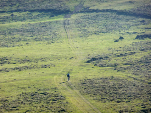 We climb up to the pass of Bustafrades |
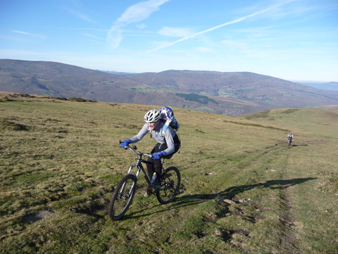 The ascent is hard but cyclable |
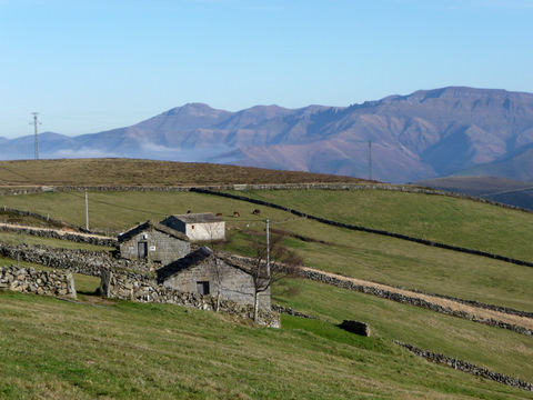 We continue to see lots of cottages |
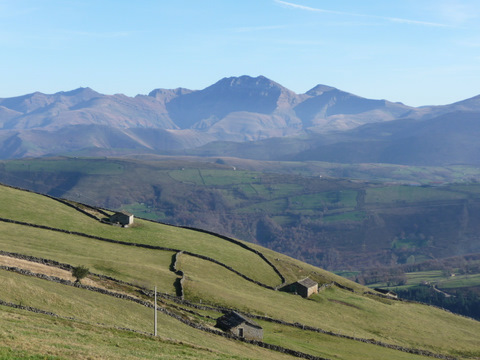 The view from the pass of Bustafrades
|
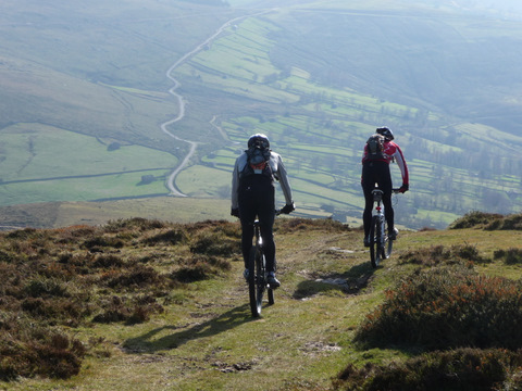 We start the descent from Coto Alisas |
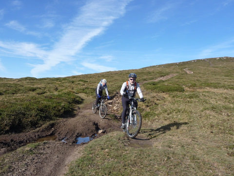 The descent is fun |
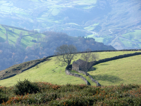 Many cottages have trees in front of them |
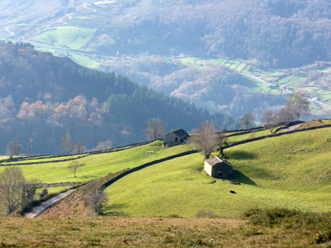 The landscape is almost vertical |
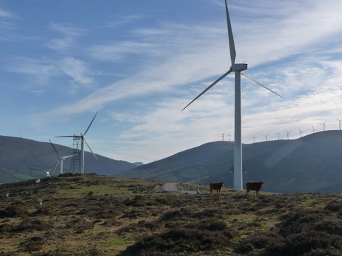 The wind farm in El Coterón |
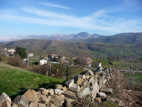 San Pedro del Romeral with the peak of Castro Valnera behind |
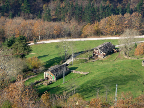 Cottages in Burnalón |