
Valderredible as seen from the plateau of La Lora

| Kilometers/Miles |
41 / 25 |
| Cumulative ascent: meters/feet |
809 / 2653 |
| Maximum height: meters/feet |
1077 / 3424 |
| Total Time |
4 hours and three quarters |
| Time moving |
3:21 |
| Beginning and end location |
Polientes |
| Difficulty |
Medium |
| Month |
December 2009 |
| Recommended period |
Spring, summer, autum |
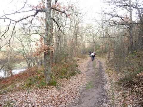 We start the route by a path close to river Ebro |
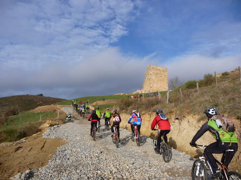 We climb up to the medieval tower of Ruerrero |
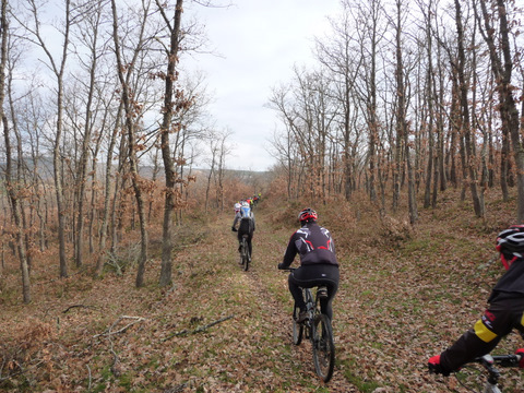 A path covered in leaves leads us to Arroyuelos |
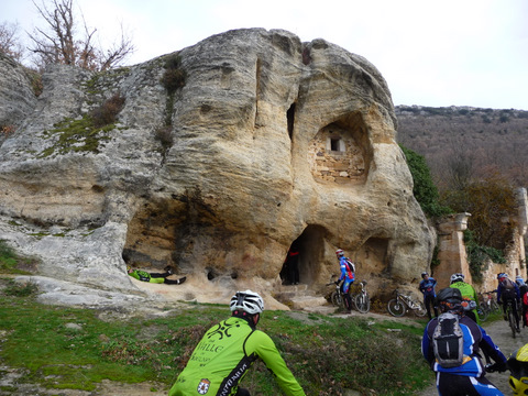 The cave hermitage of Arroyuelos |
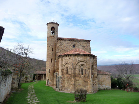 We pass by the romenesque church of San Martín de Elines |
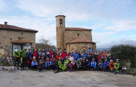 A group picture. We are more than 60 bikers! |
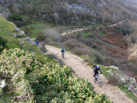 The end of the hard ascent to the plateau of La Lora |
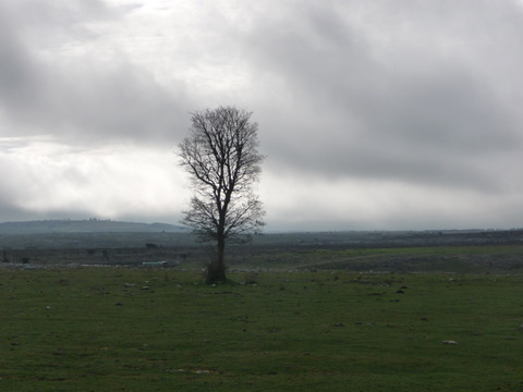 The plateau of La Lora |
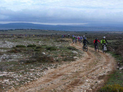 The path is quite rocky
|
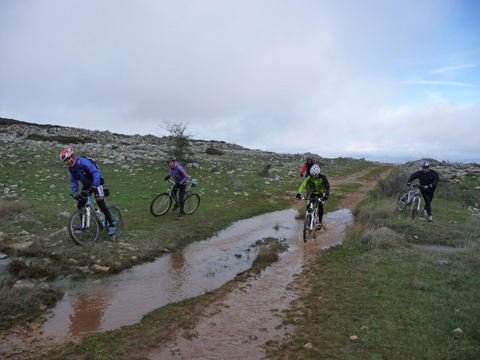 We have to cross several ponds |
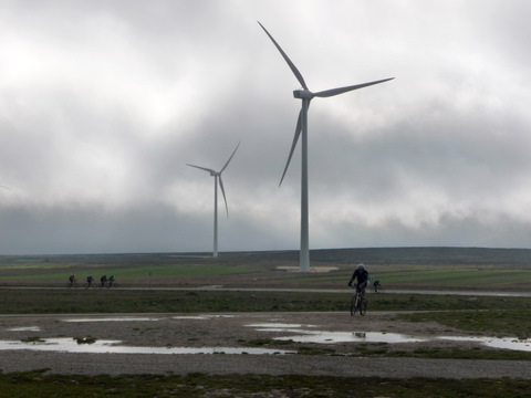 The wind farm close to the astronomical observatory of Valderredible |
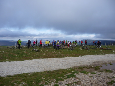 We stop for a rest at the edge of the abyss |
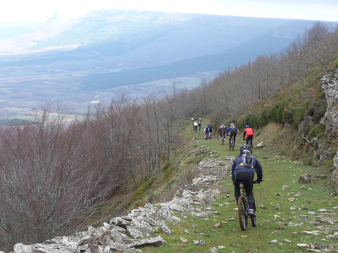 We start a fun descent to the valley |
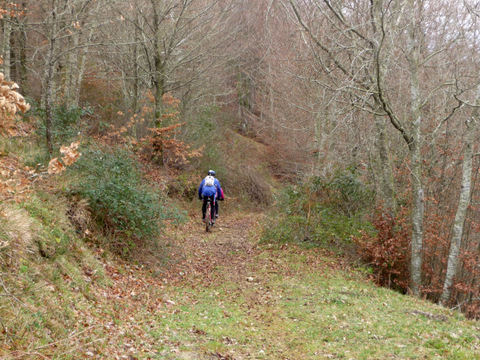 We find a lot of mud |