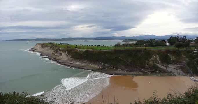
The beach of Mataleñas

| Kilometers/Miles |
49 / 30 + 3.3 / 2 by boat |
| Cumulative ascent: meters/feet |
640 / 2099 |
| Maximum height: meters/feet |
115 / 377 |
| Total time |
4 hours + 16 minutes in the boat |
| Time moving |
3:32 hours + 0:16 in the boat |
| Beginning and end location |
Santander |
| Difficulty |
Low |
| Month |
December 2009 |
| Recommended period |
All year round |
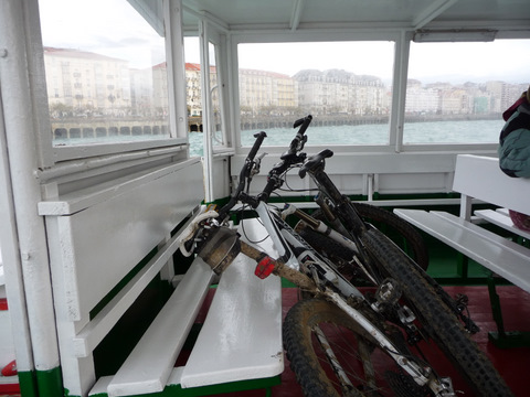 Our bikes in the ferry boat to Pedreña |
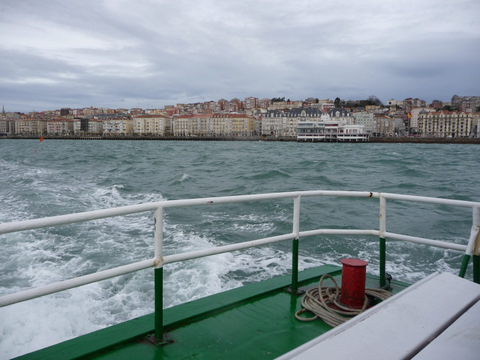 We leave the city behind |
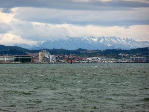 The Picos de Europa can be seen behind the bay |
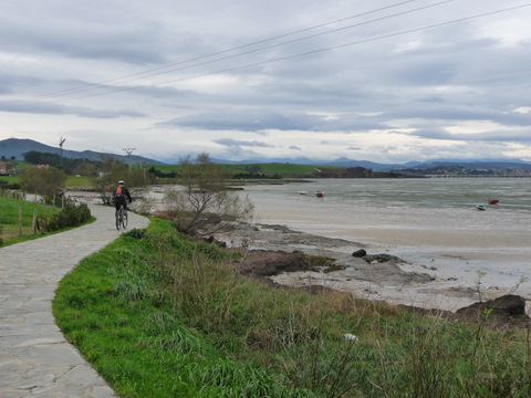 We start the coastal path of the bay |
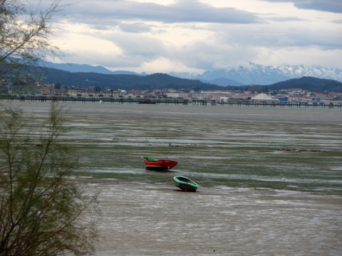 From the path we can see the mountains in the distance |
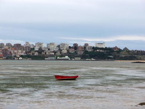 and the city also |
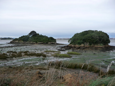 The path finishes at the island of La Campanuca |
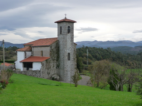 The church of Maoño |
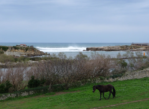 The cove of La Maruca
|
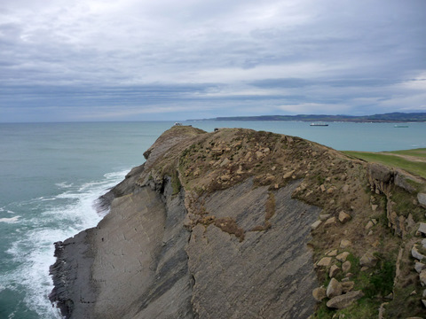 Major Cape |
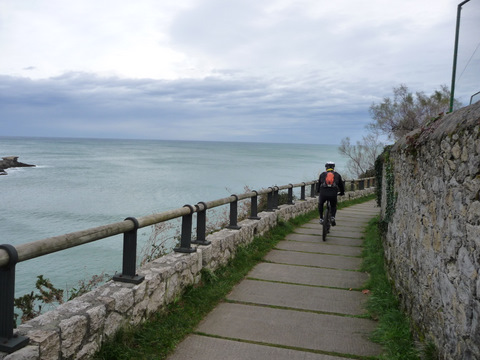 The path of Mataleñas |
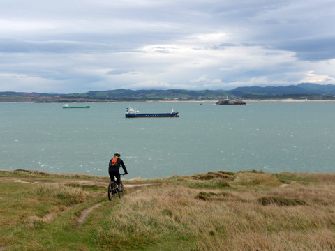 Minor Cape |
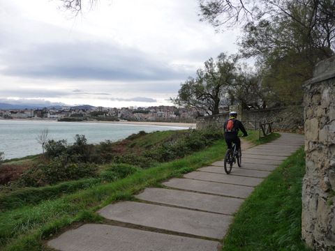 We continue on the path of Mataleñas |
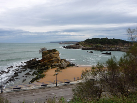 The beach of El Camello |
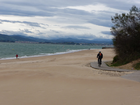 The wooden pass on the sand of the beach of La Magdalena |
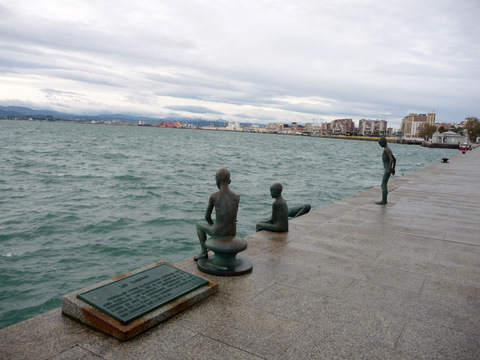 We finish our route close to the statues of Los Raqueros |