Cantabria by Bike

The beech grove of Rasillo and Mount Caballar, from Puente Viesgo

Route 107

By: Javier Tovar, Pedro Ceballos, and Michael González Harbour

Map

Basic Data


Kilometers/Miles
37 / 23
Cumulative ascent: meters/feet
991 / 3250
Maximum height: meters/feet
576 / 1889
Total time
4 hours and a quarter
Time moving
3:23 hours
Beginning and end location
Puente Viesgo
Difficulty
Medium
Month
November 2009
Recommended period
All year round


Profile

Pictures


foto 1
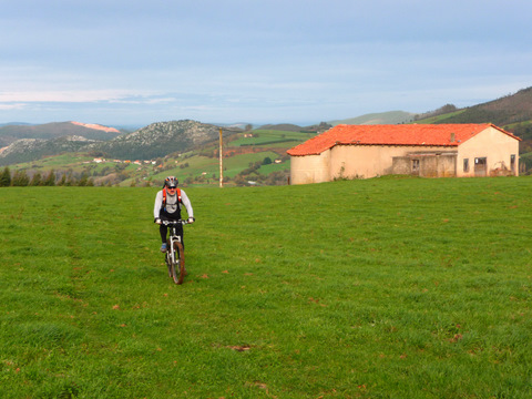
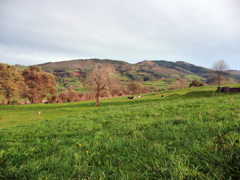
  Mount Caballar

foto2
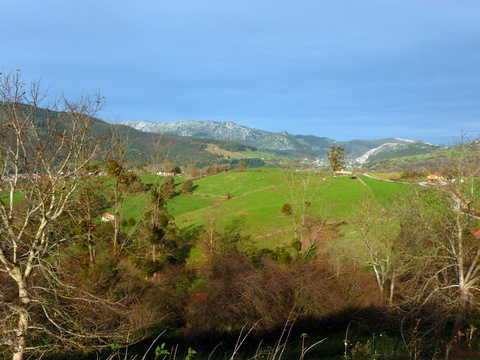
The sun creates a special light condition
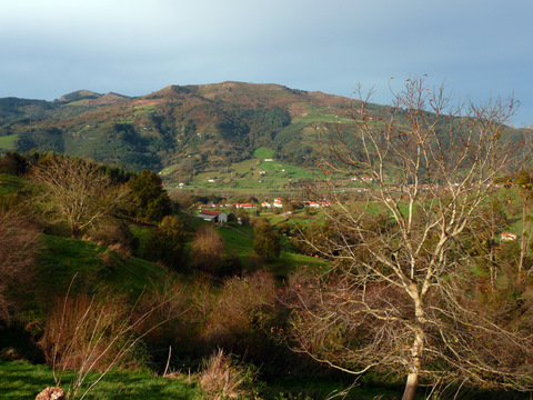
foto 3
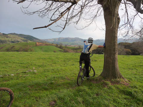
Another view of Mount Caballar
foto 4
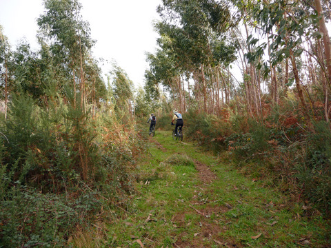
We go through an eucaliptus forest

foto5
We do a little bit of cross country

foto 6
Approaching Rasillo

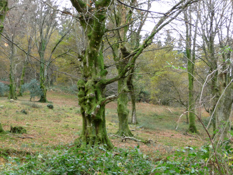
foto 7
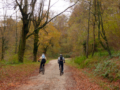
  The beech grove of Rasillo

foto 8
The moss covers the tree trunks

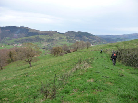
foto 9
The descent to Rasillo is fun

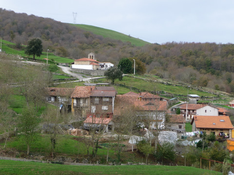
foto 10
  The village of Rasillo

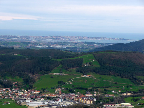
foto 11
The bay of Santander from Mount Caballar
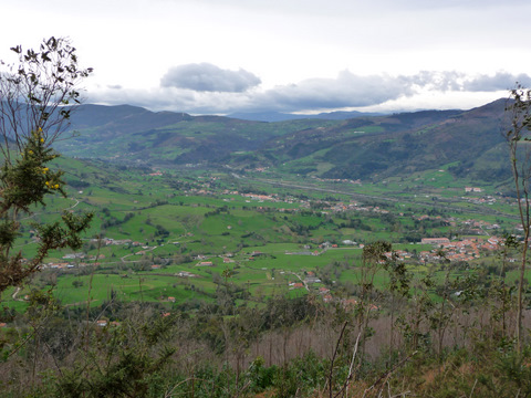
foto 12
The valley of  Toranzo

Downloads

To open the route in Google Earth click on the 'KMZ' link and select 'Open with Goole Earth' (requires prior installation of Google Earth). To download a route, right-click on the link and select 'save link as' or a similar option.

Instructions

See the instructions and disclaimer, as well as other routes, in the main page.