| Kilometers/Miles |
48 / 30 |
| Cumulative ascent: meters/feet |
1003 / 3289 |
| Maximum height: meters/feet |
1020 / 3345 |
| Total duration |
5 hours |
| Time moving |
4:12 hours |
| Beginning and end location |
Corconte Spa |
| Difficulty |
Medium |
| Month |
November 2009 |
| Recommended period |
All year round |
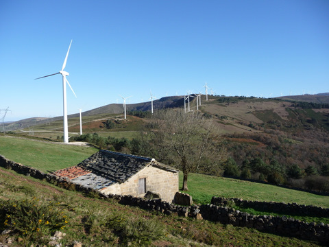 A traditional cottage shares the mountain with the modern technology of the wind generators. |
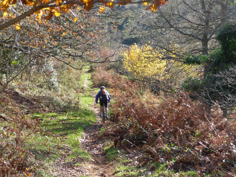 The path that goes down from the pass of la Magdalena |
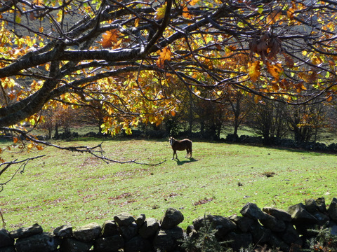 Autum landscape |
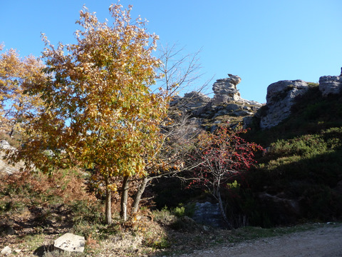 A tree covered in red berries |
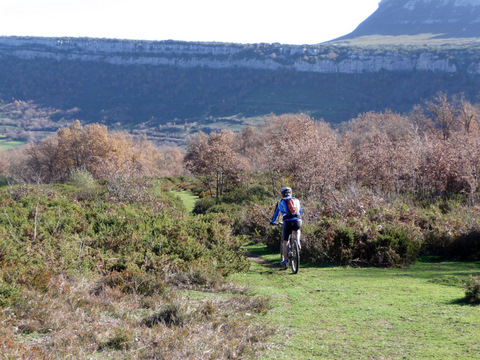 The descent to La Engaña creek is through a fun path |
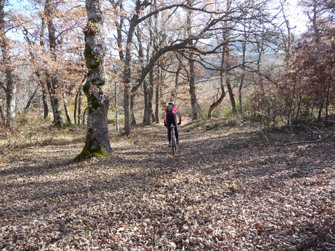 The path goes into the forest |
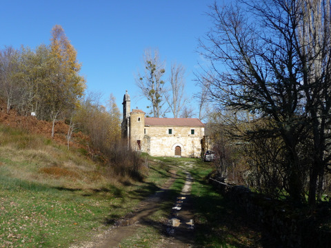 The chapel of La Ribera |
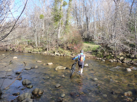 We cross La Engaña creek |
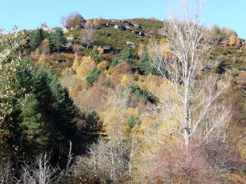 We find lots of yellow-coloured
silver birches
|
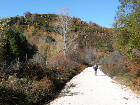 The Green Track of La Engaña |
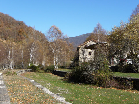 The phantasmagoric station of La Engaña |
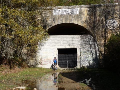 The South end of the tunnel |